51 Blunts Way, Horsham, RH12 2BJ
About 51 Blunts Way
51 Blunts Way is a three-bedroom semi-detached house in Horsham (RH12 2BJ). It has a recorded floor area of 96 m² (around 1033 sq ft), construction records dating it to 1950-1966 and council tax band E. The latest certificate (May 2023) shows a C (score 69), just inside the C band. The recommended improvements would push it to B (score 83).
Today's modelled estimate of £568,000 is 15% above the 2023 sale price. Most recent transfer: November 2023 at £494,000.
What this property has
Inside
- Bedrooms3
- Bathrooms1
Outside
- GarageYes
Building
- RefurbishedYes
Everything you need to know about 51 Blunts Way
The true value, the hidden risks and the full sale history, in one report.
Pick your report · every report is £14.99
One time fee only - money back guarantee

The data behind every report


Energy performance
EPC Rating
Get a survey for this property
Level 3 Building Survey
Because the property has been extended more than once, we believe a Level 3 building survey should be considered.
From £1,085 · Includes VAT
Planning history
51 Blunts Way has no planning applications on record.
But the area is active
4 notable applications nearby — larger schemes and conversions that could reshape the street. The report maps them all.
Sales history & valuation
£568,000
Modelled from EPC, postcode comparables.
£494,000
Recorded with HM Land Registry.
Sales timeline
28 November 2023Most recent
£494,000
Median price across the last 5 sales in RH12 2BJ: £565,000 (2024–2022).
Versus other Blunts Way homes
51 Blunts Way is notably below the street on habitable rooms.
Price per m²
£5,146
Street avg £5,064
Floor Area
96 m²
Street avg 113 m²
Habitable Rooms
4 rooms
Street avg 6 rooms
CO₂ Emissions
3.5 t/year
Street avg 4.2 t/year
Everything you need to know about 51 Blunts Way
The true value, the hidden risks and the full sale history, in one report.
Pick your report · every report is £14.99
One time fee only - money back guarantee
The data behind every report
Similar properties nearby
The neighbourhood at a glance
Crime
2/mo
Steady year-on-year across the wider district.
Nearest stop
0.1 km
Percy Road — bus stop.
Closest school
0.4 km
Trafalgar Community Infant School. 19 schools nearby.
Go deeper on the local area
A Local Area report breaks down crime, transport links, schools and air quality in depth.
Road noise across the postcode
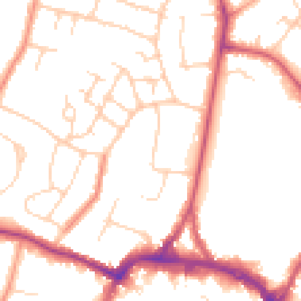
Daytime· 07:00 – 23:00
50.6dB

Night-time· 23:00 – 07:00
41.8dB