24 Dawlish Road, Manchester, M21 8XR
About 24 Dawlish Road
24 Dawlish Road is a four-bedroom property in Manchester (M21 8XR). It has council tax band D. Other recorded features include a basement.
It hasn't traded since January 2010, a hold of 16 years that's notably long for the area. Across 2004–2010, sale prices on this property compounded at 4.6% per year.
Know exactly what you're buying at 24 Dawlish Road
Before you offer, see what the listing won't tell you, the true value, the red flags and the full history.
Already flagged here
Valuation
against the asking price
Risks
planning & flood
Sold prices
similar homes nearby
Trends
the local market
What this property has
Inside
- Bedrooms4
- Dining roomYes
- CloakroomYes
- BasementYes
Energy performance
No EPC on record
This property doesn't have an Energy Performance Certificate yet. An EPC is required to sell or let — and unlocks our automated valuation.
Planning history
24 Dawlish Road has no planning applications on record.
Notable planning nearby
3applications of note in the surrounding area
We flagged 1 thing worth checking at 24 Dawlish Road
Independent checks surfaced things a buyer would want to understand before offering. The report explains each one in full, with the underlying data and what to ask.
- Larger development activity nearby
30-day money-back guarantee
Sales history & valuation
£375,000
Growth on file: 4.6% per year over 5 years.
Sales timeline
29 January 2010Most recent
£375,000
+26.7%over 5 years14 October 2004
£296,000
Median price across the last 5 sales in M21 8XR: £685,000 (2025–2018).
Nearby sales in M21 8XR
Everything we know about 24 Dawlish Road, in one report
What it's really worth, what could be wrong, and the planning, sales and area data in full.
What we flagged
- Larger development activity nearby

Similar properties nearby
1 Clovelly Road
M21 8XU
1 Ansdell Avenue
M21 8TP
1 Dawlish Road
M21 8XR
1 Clifton Road
M21 8UX
1 Cleveleys Avenue
M21 8TS
1 Limley Grove
M21 8UB
1 Lytham Avenue
M21 8TF
1 Cundiff Road
M21 8FS
The neighbourhood at a glance
Rail-style transport is unusually close for this postcode.
Nearest stop
0.3 km
St Werburgh's Road Metrolink Stop — bus stop.
Closest school
0.4 km
Chorlton High School. 43 schools nearby.
Go deeper on the local area
The full report breaks down crime, transport links, schools and air quality in depth.
Road noise across the postcode
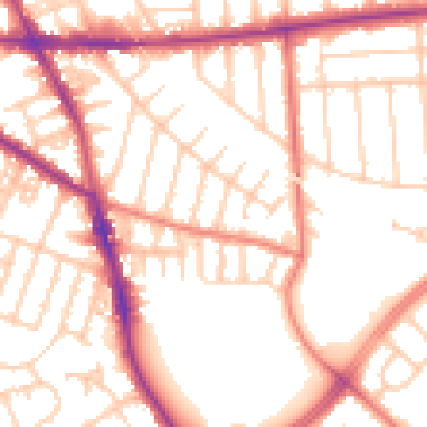
Daytime· 07:00 – 23:00
54.0dB

Night-time· 23:00 – 07:00
43.9dB