2 Beechwood Avenue, Manchester, M21 8UA
About 2 Beechwood Avenue
2 Beechwood Avenue is a four-bedroom end-of-terrace house in Manchester (M21 8UA). It has a recorded floor area of 114 m² (around 1227 sq ft), construction records dating it to 1900-1929 and council tax band C. The latest certificate (June 2024) shows an E (score 51), well below the UK norm with real room to improve. Earlier certificates rated it D (March 2012); the latest reading is one band lower. Between certificates, window efficiency went from Poor to Average and lighting went from Average to Very Good; while roof efficiency dropped from Good to Very Poor. The recommended improvements would lift it to B (score 81), a 3-band jump. Other recorded features include a basement.
Last sale on file: £405,000 in November 2020. Across the public record there are 4 sales, relatively high churn for a single property. 2 planning records sit against the property, 2 approved, 0 refused. Past consents include an extension, meaningful when judging how the property has evolved. It lags the bulk of the postcode on energy efficiency (less efficient than 71% of similar EPCs). Across 1998–2020, sale prices on this property compounded at 8% per year. Today's modelled estimate of £567,000 is 40% above the 2020 sale price. On a £-per-square-foot basis, the last sale (£330/sq ft) was about 82.2% above the typical sold price in the postcode.
Know exactly what you're buying at 2 Beechwood Avenue
Before you offer, see what the listing won't tell you, the true value, the red flags and the full history.
Already flagged here
Valuation
against the asking price
Risks
planning & flood
Sold prices
similar homes nearby
Trends
the local market
What this property has
Inside
- Bedrooms4
- Bathrooms2
- Dining roomYes
- EnsuiteYes
- StudyYes
- BasementYes
Outside
- Private gardenYes
Building
- RefurbishedYes
Energy performance
2 Beechwood Avenue's carbon output runs well above what efficient homes in the postcode produce.
EPC Rating
Property Improvements
Changes detected from historical EPC data
Windows upgraded, improving insulation
More low energy lighting installed
Planning history
- Nov 2025ConditionsIn report
Discharge of condition 3 (Materials) attached to planning permission 143793/FH/2025
- Agent
- Red Coop
- Documents
- 3 docs on file
- Reference
- CDN/25/1051
- Oct 2025ExtensionFullIn report
Installation of external wall insulation to the side and rear elevations and the existing two storey rear outrigger
- Agent
- Red Coop
- Documents
- 10 docs on file
- Reference
- 143793/FH/2025
We flagged 1 thing worth checking at 2 Beechwood Avenue
Independent checks surfaced things a buyer would want to understand before offering. The report explains each one in full, with the underlying data and what to ask.
- Larger development activity nearby
30-day money-back guarantee
Sales history & valuation
Price for 2 Beechwood Avenue has grown more than fourfold since the 1998 starting point.
£567,000
Modelled from EPC, postcode comparables and a sale-price growth of 8.0% per year over 22 years.
£405,000
Growth on file: 8.0% per year over 22 years.
Sales timeline
23 November 2020Most recent
£405,000
+26.2%over 6 years1 October 2014
£321,000
+31.3%over 2 years14 August 2012
£244,500
+235.2%over 13 years30 September 1998
£72,950
Median price across the last 5 sales in M21 8UA: £446,000 (2025–2020).
Nearby sales in M21 8UA
12 Beechwood Avenue, Manchester, M21 8UA
Sold Jul 2025
£480,00013 Beechwood Avenue, Manchester, M21 8UA
Sold Aug 2024
£530,0009 Beechwood Avenue, Manchester, M21 8UA
Sold Jul 2023
£425,0003 Beechwood Avenue, Manchester, M21 8UA
Sold Nov 2022
£446,00019 Beechwood Avenue, Manchester, M21 8UA
Sold Aug 2020
£437,000
Everything we know about 2 Beechwood Avenue, in one report
What it's really worth, what could be wrong, and the planning, sales and area data in full.
What we flagged
- Larger development activity nearby

Versus other Beechwood Avenue homes
CO₂ Emissions for 2 Beechwood Avenue lags the street by a wide margin.
Price per m²
£3,553
Street avg £3,246
Floor Area
114 m²
Street avg 100 m²
Habitable Rooms
4 rooms
Street avg 5 rooms
CO₂ Emissions
6.6 t/year
Street avg 5.0 t/year
Similar properties nearby
1 Clovelly Road
M21 8XU
1 Ansdell Avenue
M21 8TP
1 Dawlish Road
M21 8XR
1 Clifton Road
M21 8UX
1 Cleveleys Avenue
M21 8TS
1 Limley Grove
M21 8UB
1 Lytham Avenue
M21 8TF
1 Cundiff Road
M21 8FS
The neighbourhood at a glance
Rail-style transport is unusually close for this postcode.
Nearest stop
0.2 km
Nell Lane — bus stop.
Closest school
0.3 km
Chorlton High School. 42 schools nearby.
Go deeper on the local area
The full report breaks down crime, transport links, schools and air quality in depth.
Road noise across the postcode
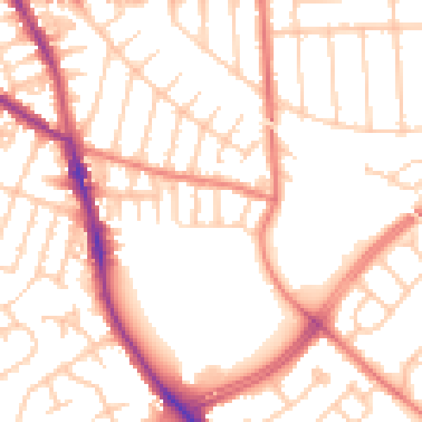
Daytime· 07:00 – 23:00
53.2dB

Night-time· 23:00 – 07:00
42.9dB