42 Sutherland Avenue, Leeds, LS8 1BZ
About 42 Sutherland Avenue
42 Sutherland Avenue is a semi-detached house in Leeds (LS8 1BZ). It has a recorded floor area of 171 m² (around 1841 sq ft), construction records dating it to 1930-1949 and council tax band C. The latest certificate (June 2022) shows a C (score 70). When first surveyed in June 2019 the rating was E, the property has climbed 2 bands since. Between certificates, window efficiency went from Poor to Good and lighting went from Very Poor to Very Good.
At 171 m² the property is well over the postcode median (101 m² across 15 EPCs), placing it in the larger end of the local stock. Its energy rating outperforms most of the postcode (better than 80% of similar EPCs). 2 planning records sit against the property, 1 approved, 0 refused. Past consents include an extension and a loft conversion, meaningful when judging how the property has evolved. Across 2020–2022, sale prices on this property compounded at 38% per year. On a £-per-square-foot basis, the last sale (£359/sq ft) was about 92% above the typical sold price in the postcode. Last sale on file: £661,560 in September 2022. That sale was during the post-pandemic price surge, when transactions cleared materially above pre-2020 trend.
Know exactly what you're buying at 42 Sutherland Avenue
Before you offer, see what the listing won't tell you, the true value, the red flags and the full history.
Valuation
against the asking price
Risks
planning & flood
Sold prices
similar homes nearby
Trends
the local market
Energy performance
42 Sutherland Avenue's carbon output runs well above what efficient homes in the postcode produce.
EPC Rating
Property Improvements
Changes detected from historical EPC data
Heating controls upgraded for better temperature management
Windows upgraded, improving insulation
More low energy lighting installed
Planning history
Planning history includes both a loft conversion and an extension — the classic family-home expansion.
- Aug 2020ExtensionFullIn report
Extension: Side of property
Variation of condition number 2 (approved plans) of planning permission 20/02976/FU to enable creation of side single storey side extension.
- Documents
- 5 docs on file
- Reference
- 20/05151/FU
- Jul 2020Loft ConversionFullIn report
Extension: Part single, part two storey · Rear of property
Alterations inlcluding gable roof extension and conversion of attic to habitable rooms; two storey part single storey rear extension
Extension- Documents
- 12 docs on file
- Reference
- 20/02976/FU
What's in 42 Sutherland Avenue, Leeds, LS8 1BZ's planning history?
Refusals, disputes and full decisions on this property and nearby, in the report.
Sales history & valuation
Latest sale on 42 Sutherland Avenue was the highest on Land Registry record across the postcode.
£700,000
Modelled from EPC, postcode comparables and a sale-price growth of 38.0% per year over 3 years.
£661,560
Growth on file: 38.0% per year over 3 years.
Sales timeline
27 September 2022Most recent
£661,560
+128.1%over 2 years5 March 2020
£290,000
Median price across the last 5 sales in LS8 1BZ: £391,000 (2024–2020).
Nearby sales in LS8 1BZ
Everything we know about 42 Sutherland Avenue, in one report
What it's really worth, what could be wrong, and the planning, sales and area data in full.
- Am I paying too much?
- Is something wrong with it?
- Is the agent's story true?
- Will it hold its value?

Versus other Sutherland Avenue homes
42 Sutherland Avenue outperforms the street on floor area by a wide margin.
Price per m²
£3,869
Street avg £2,717
Floor Area
171 m²
Street avg 114 m²
Habitable Rooms
7 rooms
Street avg 6 rooms
CO₂ Emissions
6.2 t/year
Street avg 5.2 t/year
Similar properties nearby
1 Avenue Victoria
LS8 1JE
1 Gledhow Avenue
LS8 1NU
1 Ayresome Terrace
LS8 1BJ
1 Denton Avenue
LS8 1LE
1 Borrough View
LS8 1LS
1 East Moor Avenue
LS8 1ER
1 Devonshire Mews, Devonshire Crescent
LS8 1AT
1 Gledhow Grange View
LS8 1PH
The neighbourhood at a glance
Crime
4/mo
Steady year-on-year across the wider district.
Nearest stop
0.2 km
Roman Avenue — bus stop.
Closest school
0.4 km
Talbot Primary School. 25 schools nearby.
Go deeper on the local area
The full report breaks down crime, transport links, schools and air quality in depth.
Road noise across the postcode
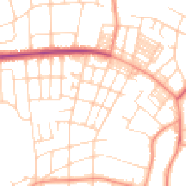
Daytime· 07:00 – 23:00
51.0dB

Night-time· 23:00 – 07:00
39.6dB