Woodside, Baas Lane, Broxbourne, EN10 7EL
About Woodside
Woodside is a detached house in Broxbourne (EN10 7EL). It has a recorded floor area of 524 m² (around 5640 sq ft), construction records dating it to 2007-2011 and council tax band H. The latest certificate (April 2025) shows a C (score 79), near the top of the C band. The rating has held steady at C across 2 certificates since September 2010. Between certificates, wall efficiency dropped from Very Good to Good and window efficiency dropped from Good to Average. The recommended improvements would push it to B (score 84).
Held since June 2000 — that's 26 years off the open market, well above the local norm. Only one transfer is on record with HM Land Registry, suggesting it has stayed in the same hands for a long time. At 524 m² the property is well over the postcode median (211 m² across 10 EPCs), placing it in the larger end of the local stock. Today's modelled estimate of £2,399,000 sits 515.1% above the 2000 sale of £390,000. On a £-per-square-foot basis, the last sale (£69/sq ft) was about 77.8% below the postcode norm. 3 planning records sit against the property, 2 approved, 0 refused.
Everything you need to know about Woodside
The true value, the hidden risks and the full sale history, in one report.
30-day money-back guarantee

The data behind every report


Energy performance
Woodside's carbon output runs well above what efficient homes in the postcode produce.
EPC Rating
Property Improvements
Changes detected from historical EPC data
Heating controls changed
Loft insulation upgraded to recommended levels
Floor insulation added or improved
Low energy lighting percentage decreased
Planning history
- Apr 2010ApplicationIn report
DETAILS OF SITE INVESTIGATION REPORT PURSUANT TO CONDITION 16 OF PLANNING PERMISSION 7/0304/07/F/HOD
- Reference
- 07/10/0151/DRC
- May 2007Demolition And RebuildFullIn report
DEMOLITION OF EXISTING DWELLING AND ERECTION OF A SEVEN BED DETACHED DWELLING
- Reference
- 7/0304/07/F/HOD
We flagged 1 thing worth checking at Woodside
Independent checks surfaced things a buyer would want to understand before offering. The report explains each one in full, with the underlying data and what to ask.
- Larger development activity nearby
30-day money-back guarantee
Sales history & valuation
Woodside's modelled value sits at over four times its earliest registered sale price (2000).
£2,399,000
Modelled from EPC, postcode comparables.
£390,000
Recorded with HM Land Registry.
Sales timeline
1 June 2000Most recent
£390,000
Median price across the last 5 sales in EN10 7EL: £1,250,000 (2022–2016).
Nearby sales in EN10 7EL
Versus other Baas Lane homes
Price per m² for Woodside lags the street by a wide margin.
Price per m²
£744
Street avg £4,099
Floor Area
524 m²
Street avg 267 m²
Habitable Rooms
11 rooms
Street avg 8 rooms
CO₂ Emissions
9.7 t/year
Street avg 6.7 t/year
Everything you need to know about Woodside
The true value, the hidden risks and the full sale history, in one report.
30-day money-back guarantee
The data behind every report
Similar properties nearby
1 Birch Farm Place
EN10 7FL
1 Carnaby Road
EN10 7EF
1 Beaumont Manor, Beaumont Road
EN10 7QJ
1 Baas Lane
EN10 7EL
1 Broxbournebury Mews
EN10 7JA
1 Baas Hill Close
EN10 7EU
1 Beaumont Villas, Beaumont Road
EN10 7QL
1 Badminton Place
EN10 7PA
The neighbourhood at a glance
Crime
3/mo
Steady year-on-year across the wider district.
Nearest stop
0.6 km
Grenville Avenue — bus stop.
Closest school
0.5 km
The Broxbourne School. 10 schools nearby.
Go deeper on the local area
The full report breaks down crime, transport links, schools and air quality in depth.
Road noise across the postcode
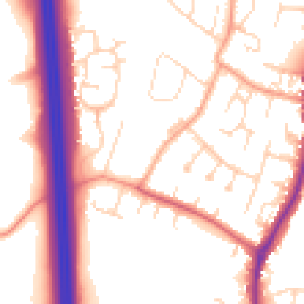
Daytime· 07:00 – 23:00
53.9dB

Night-time· 23:00 – 07:00
45.1dB