1 Carnaby Road, Broxbourne, EN10 7EF
About 1 Carnaby Road
1 Carnaby Road is a six-bedroom detached house in Broxbourne (EN10 7EF). It has a recorded floor area of 222 m² (around 2390 sq ft), construction records dating it to 1976-1982 and council tax band G. The latest certificate (September 2024) shows a D (score 59), a step below the typical UK home. When first surveyed in September 2014 the rating was E, the property has climbed 1 band since. Between certificates, wall efficiency went from Poor to Average, roof efficiency went from Poor to Good and hot-water efficiency went from Average to Good. The recommended improvements would push it to C (score 72). Other recorded features include outbuildings. Records show the property has been extended at some point in its history.
It hasn't traded since April 2010, a hold of 16 years that's notably long for the area. One planning record on file: an extension approved in 2003. Past consents include an extension, meaningful when judging how the property has evolved. Across 1998–2010, sale prices on this property compounded at 8.4% per year. Today's modelled estimate of £1,243,000 is 40.8% above the 2010 sale price. 6 bedrooms is on the larger side for this postcode, where 4 is the typical count.
What this property has
Inside
- Bedrooms6
- Bathrooms3
- Dining roomYes
- CloakroomYes
- EnsuiteYes
Outside
- Private gardenSouth-facing
- GarageDouble
- OutbuildingsYes
Building
- Heating systemGas
- Previously extendedYes
Everything you need to know about 1 Carnaby Road
The true value, the hidden risks and the full sale history, in one report.
30-day money-back guarantee

The data behind every report


Energy performance
1 Carnaby Road's carbon output runs well above what efficient homes in the postcode produce.
EPC Rating
Property Improvements
Changes detected from historical EPC data
Heating controls upgraded for better temperature management
Hot water efficiency improved
Wall insulation upgraded
Loft insulation upgraded to recommended levels
Planning history
1 Carnaby Road has an approved rear extension on the planning record.
- May 2003ExtensionFullIn report
Extension: Rear of property
TWO STOREY REAR EXTENSION
- Reference
- 7/0233/03/HF/HOD
We flagged 1 thing worth checking at 1 Carnaby Road
Independent checks surfaced things a buyer would want to understand before offering. The report explains each one in full, with the underlying data and what to ask.
- Larger development activity nearby
30-day money-back guarantee
Sales history & valuation
1 Carnaby Road has more than doubled in price since the earliest registered sale in 1998.
£1,243,000
Modelled from EPC, postcode comparables and a sale-price growth of 8.4% per year over 12 years.
£883,000
Growth on file: 8.4% per year over 12 years.
Sales timeline
22 April 2010Most recent
£883,000
+84.0%over 8 years5 July 2001
£479,950
+45.4%over 3 years27 February 1998
£330,000
Median price across the last 1 sales in EN10 7EF: £480,000 (1998–1998).
Nearby sales in EN10 7EF
Everything you need to know about 1 Carnaby Road
The true value, the hidden risks and the full sale history, in one report.
30-day money-back guarantee
The data behind every report
Similar properties nearby
1 Broxbournebury Mews
EN10 7JA
1 Baas Hill Close
EN10 7EU
1 Beaumont Manor, Beaumont Road
EN10 7QJ
1 Baas Lane
EN10 7EL
1 Alexis Row, High Road
EN10 7FJ
1 Badgers Croft
EN10 7ED
1 Borrell Close
EN10 7RD
1 Church View
EN10 7AB
The neighbourhood at a glance
Rail-style transport is unusually close for this postcode.
Crime
3/mo
Steady year-on-year across the wider district.
Nearest stop
0.5 km
Station Road — bus stop.
Closest school
0.7 km
Sheredes Primary School. 10 schools nearby.
Go deeper on the local area
The full report breaks down crime, transport links, schools and air quality in depth.
Road noise across the postcode
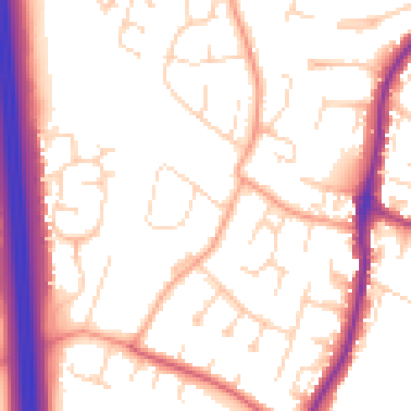
Daytime· 07:00 – 23:00
53.8dB

Night-time· 23:00 – 07:00
44.2dB