28 North Western Avenue, Watford, WD25 0AE
About 28 North Western Avenue
28 North Western Avenue is a three-bedroom detached house in Watford (WD25 0AE). It has a recorded floor area of 104 m² (around 1119 sq ft), construction records dating it to 1930-1949 and council tax band E. The latest certificate (April 2015) shows an E (score 48), well below the UK norm with real room to improve. The recommended improvements would lift it to C (score 78), a 2-band jump. The latest certificate is from April 2015, so improvements made since then won't be reflected. Other recorded features include outbuildings.
It lags the bulk of the postcode on energy efficiency (less efficient than 84% of similar EPCs). Across 2001–2015, sale prices on this property compounded at 6.8% per year. Today's modelled estimate of £627,000 is 22.9% above the 2015 sale price. On a £-per-square-foot basis, the last sale (£456/sq ft) was about 47.1% above the typical sold price in the postcode. On the market in December 2015 and unlisted since — roughly 11 years. 3 planning records sit against the property, 0 approved, 2 refused.
What this property has
Inside
- Bedrooms3
- Bathrooms2
- Dining roomYes
- EnsuiteYes
Outside
- Private gardenYes
- GarageYes
- OutbuildingsYes
Building
- Central heatingYes
Everything you need to know about 28 North Western Avenue
The true value, the hidden risks and the full sale history, in one report.
30-day money-back guarantee

The data behind every report


Energy performance
28 North Western Avenue's carbon output runs well above what efficient homes in the postcode produce.
EPC Expired
This certificate is over 10 years old and is no longer valid.Expired 07 Apr 2025
EPC Rating
Planning history
A subdivision application was refused at 28 North Western Avenue in 2021.
- Sept 2021SubdivisionFullIn report
(Part retrospective application) Combine the two separate areas (kitchen and dining room) into a single space. Removal of the kitchen and dining room roof, creating a flat roof that can be used as a balcony from the first floor. Changing all the existing windows and doors at the rear elevation with new doors.Creating two walls at the begining and the end of the balcony, which have both security and privacy function.
RetrospectiveExtension- Documents
- 9 docs on file
- Reference
- 21/01134/FULH
- Jul 2011ExtensionFullIn report
Extension: Single storey · Rear of property
Erection of a single storey rear extension to outbuilding
- Documents
- 25 docs on file
- Reference
- 11/00483/FULH
We flagged 1 thing worth checking at 28 North Western Avenue
Independent checks surfaced things a buyer would want to understand before offering. The report explains each one in full, with the underlying data and what to ask.
- A planning decision worth checking
30-day money-back guarantee
Sales history & valuation
28 North Western Avenue has more than doubled in price since the earliest registered sale in 2001.
£627,000
Modelled from EPC, postcode comparables and a sale-price growth of 6.8% per year over 14 years.
£510,000
Growth on file: 6.8% per year over 14 years.
Sales timeline
4 December 2015Most recent
£510,000
+155.1%over 14 years30 September 2001
£199,950
Median price across the last 5 sales in WD25 0AE: £535,000 (2024–2021).
Nearby sales in WD25 0AE
44 North Western Avenue, Watford, WD25 0AE
Sold Oct 2024
£535,00020 North Western Avenue, Watford, WD25 0AE
Sold Aug 2023
£278,00018 North Western Avenue, Watford, WD25 0AE
Sold Jun 2023
£525,00058 North Western Avenue, Watford, WD25 0AE
Sold Aug 2022
£680,00056 North Western Avenue, Watford, WD25 0AE
Sold Aug 2021
£555,000
Versus other North Western Avenue homes
CO₂ Emissions for 28 North Western Avenue lags the street by a wide margin.
Price per m²
£4,904
Street avg £4,279
Floor Area
104 m²
Street avg 105 m²
Habitable Rooms
5 rooms
Street avg 6 rooms
CO₂ Emissions
6.7 t/year
Street avg 4.0 t/year
Everything you need to know about 28 North Western Avenue
The true value, the hidden risks and the full sale history, in one report.
30-day money-back guarantee
The data behind every report
Similar properties nearby
1 All Saints Crescent
WD25 0LU
1 Bramble Close
WD25 0HF
1 Austin Villas, Woodside Road
WD25 0GD
1 Derwent Close
WD25 0NQ
1 Coopers Mews
WD25 0JD
1 Cypress Walk
WD25 0RY
1 Elderberry Way
WD25 0RW
1 Avon Close
WD25 0DN
The neighbourhood at a glance
Rail-style transport is unusually close for this postcode.
Crime
4/mo
Steady year-on-year across the wider district.
Nearest stop
0.2 km
Library — bus stop.
Closest school
0.5 km
Parkgate Infants' and Nursery School. 29 schools nearby.
Go deeper on the local area
The full report breaks down crime, transport links, schools and air quality in depth.
Road noise across the postcode
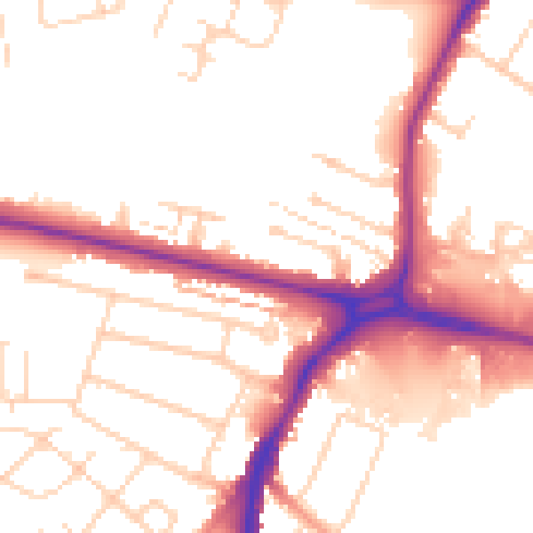
Daytime· 07:00 – 23:00
52.7dB

Night-time· 23:00 – 07:00
43.9dB