1 Brookfield Close, Horsham, RH12 1QQ
About 1 Brookfield Close
1 Brookfield Close is an end-of-terrace house in Horsham (RH12 1QQ). It has a recorded floor area of 85 m² (around 915 sq ft), construction records dating it to 2007-2011 and council tax band D. The latest certificate (July 2024) shows a C (score 78), near the top of the C band. Earlier certificates rated it B (May 2013); the latest reading is one band lower. Between certificates, wall efficiency dropped from Very Good to Good and window efficiency dropped from Very Good to Good. The recommended improvements would push it to B (score 90).
At 85 m² it's 23.2% larger than the typical home in the postcode (69 m² median across 15 EPCs). It lags the bulk of the postcode on energy efficiency (less efficient than 80% of similar EPCs).
Everything you need to know about 1 Brookfield Close
The true value, the hidden risks and the full sale history, in one report.
Pick your report · every report is £14.99
One time fee only - money back guarantee

The data behind every report


Energy performance
EPC Rating
Property Improvements
Changes detected from historical EPC data
Heating controls changed
Loft insulation upgraded to recommended levels
Get a survey for this property
Level 2 HomeBuyer Report
We've checked 10 risk factors against the available data for this property and believe a Level 2 HomeBuyer Report could be a suitable option for you.
From £595 · Includes VAT
Planning history
1 Brookfield Close has no planning applications on record.
But the area is active
1 notable application nearby — larger schemes and conversions that could reshape the street. The report maps them all.
Sales history & valuation
1 Brookfield Close has no Land Registry sales on file, suggesting it has stayed in the same hands since registration began.
£370,000
Modelled from EPC, postcode comparables.
No sales recorded with HM Land Registry
That can mean the property has never traded since the registry began publishing in 1995, was a new build that hasn't been registered yet, or is held in the same hands long-term.
Median price across the last 5 sales in RH12 1QQ: £285,000 (2025–2021).
Nearby sales in RH12 1QQ
Versus other Brookfield Close homes
1 Brookfield Close is notably below the street on epc rating.
EPC Rating
78 (C)
Street avg 80 (C)
Floor Area
85 m²
Street avg 94 m²
CO₂ Emissions
1.9 t/year
Street avg 1.9 t/year
Everything you need to know about 1 Brookfield Close
The true value, the hidden risks and the full sale history, in one report.
Pick your report · every report is £14.99
One time fee only - money back guarantee
The data behind every report
Similar properties nearby
1 Arunside, Blackbridge Lane
RH12 1SJ
1 Anchor Court, Talbot Lane
RH12 1ET
1 Brockhurst Close
RH12 1UY
1 Alder Copse
RH12 1LD
1 Cleves Mews
RH12 1QP
1 Barn Cottage, Talbot Lane
RH12 1ES
1 Bridge House, East Street
RH12 1AA
1 Brook Terrace, Talbot Lane
RH12 1ES
The neighbourhood at a glance
Crime
2/mo
Steady year-on-year across the wider district.
Nearest stop
0.1 km
Middleton Road — bus stop.
Closest school
0.1 km
Arunside School, Horsham. 13 schools nearby.
Go deeper on the local area
A Local Area report breaks down crime, transport links, schools and air quality in depth.
Road noise across the postcode
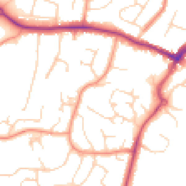
Daytime· 07:00 – 23:00
50.8dB

Night-time· 23:00 – 07:00
41.0dB