10 Groby Road, Manchester, M21 8AF
About 10 Groby Road
10 Groby Road is a four-bedroom semi-detached house in Manchester (M21 8AF). It has a recorded floor area of 130 m² (around 1399 sq ft), construction records dating it to 1900-1929 and council tax band D. The latest certificate (May 2013) shows an E (score 50), well below the UK norm with real room to improve. The rating has held steady at E across 2 certificates since April 2013. The recommended improvements would lift it to C (score 77), a 2-band jump. The latest certificate is from May 2013, so improvements made since then won't be reflected.
It hasn't traded since September 2007, a hold of 19 years that's notably long for the area. That sale landed at the peak of the pre-credit-crunch market, which is a useful reference point when interpreting the price. Today's modelled estimate of £625,000 sits 68.9% above the 2007 sale of £370,000. On a £-per-square-foot basis, the last sale (£264/sq ft) was about 19% above the typical sold price in the postcode. At 130 m² it's 20% smaller than the typical home in the postcode (163 m² median across 8 EPCs).
Know exactly what you're buying at 10 Groby Road
Before you offer, see what the listing won't tell you, the true value, the red flags and the full history.
Already flagged here
Valuation
against the asking price
Risks
planning & flood
Sold prices
similar homes nearby
Trends
the local market
What this property has
Inside
- Bedrooms4
Energy performance
10 Groby Road's carbon output runs well above what efficient homes in the postcode produce.
EPC Expired
This certificate is over 10 years old and is no longer valid.Expired 30 May 2023
EPC Rating
Property Improvements
Changes detected from historical EPC data
Heating controls upgraded for better temperature management
Planning history
10 Groby Road has no planning applications on record.
Notable planning nearby
3applications of note in the surrounding area
We flagged 1 thing worth checking at 10 Groby Road
Independent checks surfaced things a buyer would want to understand before offering. The report explains each one in full, with the underlying data and what to ask.
- Larger development activity nearby
30-day money-back guarantee
Sales history & valuation
The latest sale landed at the peak of the pre-credit-crunch market — a high-water reference point.
£625,000
Modelled from EPC, postcode comparables.
£370,000
Recorded with HM Land Registry.
Sales timeline
27 September 2007Most recent
£370,000
Median price across the last 5 sales in M21 8AF: £557,500 (2023–2017).
Everything we know about 10 Groby Road, in one report
What it's really worth, what could be wrong, and the planning, sales and area data in full.
What we flagged
- Larger development activity nearby

Versus other Groby Road homes
Years Held for 10 Groby Road runs comfortably ahead of the street norm.
Price per m²
£2,846
Street avg £3,401
Floor Area
130 m²
Street avg 157 m²
Habitable Rooms
5 rooms
Street avg 7 rooms
CO₂ Emissions
7.4 t/year
Street avg 7.7 t/year
Similar properties nearby
1 Ansdell Avenue
M21 8TP
1 Dawlish Road
M21 8XR
1 Clovelly Road
M21 8XU
1 Clifton Road
M21 8UX
1 Claude Road
M21 8BZ
1 Cleveleys Avenue
M21 8TS
1 Hartington Road
M21 8UZ
1 Limley Grove
M21 8UB
The neighbourhood at a glance
Rail-style transport is unusually close for this postcode.
Nearest stop
0.1 km
Groby Road — bus stop.
Closest school
0.4 km
Chorlton CofE Primary School. 40 schools nearby.
Go deeper on the local area
The full report breaks down crime, transport links, schools and air quality in depth.
Road noise across the postcode
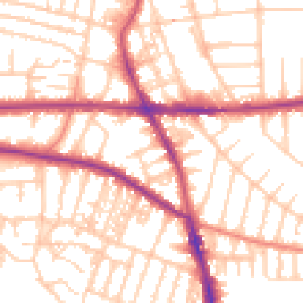
Daytime· 07:00 – 23:00
54.1dB

Night-time· 23:00 – 07:00
43.7dB