17 Sutherland Avenue, Leeds, LS8 1BY
About 17 Sutherland Avenue
17 Sutherland Avenue is a four-bedroom semi-detached house in Leeds (LS8 1BY). It has a recorded floor area of 130 m² (around 1399 sq ft), construction records dating it to 1900-1929 and council tax band C. The latest certificate (July 2019) shows a C (score 71). The recommended improvements would push it to B (score 85). Records show the property has been extended at some point in its history.
Across 2006–2019, sale prices on this property compounded at 4.1% per year. Today's modelled estimate of £606,000 sits 51.1% above the 2019 sale of £401,000. On a £-per-square-foot basis, the last sale (£287/sq ft) was about 18.7% above the typical sold price in the postcode. Its energy rating outperforms most of the postcode (better than 84% of similar EPCs). Sold November 2019 for £401,000.
Know exactly what you're buying at 17 Sutherland Avenue
Before you offer, see what the listing won't tell you, the true value, the red flags and the full history.
Valuation
against the asking price
Risks
planning & flood
Sold prices
similar homes nearby
Trends
the local market
What this property has
Inside
- Bedrooms4
- Bathrooms2
- Open-plan layoutYes
- EnsuiteYes
- StudyYes
Outside
- Private gardenYes
Building
- Central heatingYes
- Previously extendedYes
Energy performance
EPC Rating
Planning history
17 Sutherland Avenue has no planning applications on record.
The full report still covers planning activity across the surrounding area.
Sales history & valuation
17 Sutherland Avenue valuation sits well clear of the typical sold price in this postcode.
£606,000
Modelled from EPC, postcode comparables and a sale-price growth of 4.1% per year over 13 years.
£401,000
Growth on file: 4.1% per year over 13 years.
Sales timeline
8 November 2019Most recent
£401,000
+69.6%over 13 years24 August 2006
£236,500
Median price across the last 5 sales in LS8 1BY: £700,000 (2025–2022).
Nearby sales in LS8 1BY
Everything we know about 17 Sutherland Avenue, in one report
What it's really worth, what could be wrong, and the planning, sales and area data in full.
- Am I paying too much?
- Is something wrong with it?
- Is the agent's story true?
- Will it hold its value?

Versus other Sutherland Avenue homes
On epc rating, 17 Sutherland Avenue stands well clear of the street.
Price per m²
£3,085
Street avg £3,111
Floor Area
130 m²
Street avg 126 m²
Habitable Rooms
6 rooms
Street avg 6 rooms
CO₂ Emissions
4.6 t/year
Street avg 6.5 t/year
Similar properties nearby
1 Gledhow Avenue
LS8 1NU
1 Ayresome Terrace
LS8 1BJ
1 Borrough View
LS8 1LS
1 Devonshire Mews, Devonshire Crescent
LS8 1AT
1 Gledhow Grange View
LS8 1PH
1 East Moor Avenue
LS8 1ER
1 Chandos Mews
LS8 1HU
1 Avenue Victoria
LS8 1JE
The neighbourhood at a glance
Crime
4/mo
Steady year-on-year across the wider district.
Nearest stop
0.2 km
Roman Avenue — bus stop.
Closest school
0.4 km
Talbot Primary School. 26 schools nearby.
Go deeper on the local area
The full report breaks down crime, transport links, schools and air quality in depth.
Road noise across the postcode
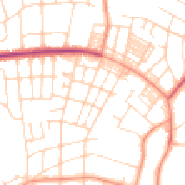
Daytime· 07:00 – 23:00
51.2dB

Night-time· 23:00 – 07:00
39.7dB