38 St Michaels Road, Leeds, LS6 3BG
About 38 St Michaels Road
38 St Michaels Road is an end-of-terrace house in Leeds (LS6 3BG). It has a recorded floor area of 212 m² (around 2282 sq ft), construction records dating it to 1900-1929 and council tax band D. The latest certificate (April 2016) shows a D (score 61), on the cusp of jumping into the C band. When first surveyed in November 2008 the rating was E, the property has climbed 1 band since. Between certificates, wall efficiency went from Very Poor to Good. The recommended improvements would push it to C (score 80). The latest certificate is from April 2016, so improvements made since then won't be reflected.
Across 1995–2022, sale prices on this property compounded at 7.1% per year. Today's modelled estimate of £396,000 is 24.6% below the 2022 sale of £525,000, a rare downward gap that often correlates with deferred maintenance or unfinished works. On a £-per-square-foot basis, the last sale (£230/sq ft) was about 101.8% above the typical sold price in the postcode. At 212 m² the property is well over the postcode median (123 m² across 48 EPCs), placing it in the larger end of the local stock. 2 planning records sit against the property, 1 approved, 1 refused. Past consents include HMO conversion, meaningful when judging how the property has evolved. Sold November 2022 for £525,000. That sale was during the post-pandemic price surge, when transactions cleared materially above pre-2020 trend.
Know exactly what you're buying at 38 St Michaels Road
Before you offer, see what the listing won't tell you, the true value, the red flags and the full history.
Already flagged here
Valuation
against the asking price
Risks
planning & flood
Sold prices
similar homes nearby
Trends
the local market
Energy performance
38 St Michaels Road's carbon output runs well above what efficient homes in the postcode produce.
EPC Expired
This certificate is over 10 years old and is no longer valid.Expired 19 Apr 2026
EPC Rating
Property Improvements
Changes detected from historical EPC data
Heating controls upgraded for better temperature management
Low energy lighting percentage decreased
Heating controls changed
More low energy lighting installed
Wall insulation improved
Low energy lighting percentage decreased
Planning history
A recent planning application at 38 St Michaels Road was refused — worth checking the council file.
- Jul 2023HMOAmendmentIn report
Certificate of Existing Lawful Development for Use of property as a large House in Multiple Occupation by 9 occupants (Sui Generis Use)
- Documents
- 2 docs on file
- Reference
- 23/03472/CLE
- Apr 2023RenovationFullIn report
Retrospective application for the removal of front and rear chimneys
Retrospective- Documents
- 6 docs on file
- Reference
- 23/01191/FU
We flagged 1 thing worth checking at 38 St Michaels Road
Independent checks surfaced things a buyer would want to understand before offering. The report explains each one in full, with the underlying data and what to ask.
- Signs of HMO activity in the area
30-day money-back guarantee
Sales history & valuation
38 St Michaels Road has more than quadrupled in price since its earliest registered sale in 1995.
£396,000
Modelled from EPC, postcode comparables and a sale-price growth of 7.1% per year over 27 years.
£525,000
Growth on file: 7.1% per year over 27 years.
Sales timeline
17 November 2022Most recent
£525,000
+548.1%over 27 years29 June 1995
£81,000
Median price across the last 5 sales in LS6 3BG: £440,125 (2023–2021).
Nearby sales in LS6 3BG
Everything we know about 38 St Michaels Road, in one report
What it's really worth, what could be wrong, and the planning, sales and area data in full.
What we flagged
- Signs of HMO activity in the area

Versus other St Michaels Road homes
On habitable rooms, 38 St Michaels Road stands well clear of the street.
Price per m²
£2,476
Street avg £1,529
Floor Area
212 m²
Street avg 160 m²
Habitable Rooms
10 rooms
Street avg 7 rooms
CO₂ Emissions
9.6 t/year
Street avg 7.6 t/year
Similar properties nearby
1 Batcliffe Drive
LS6 3QB
1 Ash Gardens
LS6 3LD
1 Dennistead Crescent
LS6 3PU
1 Derwentwater Terrace
LS6 3JL
1 Cardigan Road
LS6 3AE
1 Ash Crescent
LS6 3LE
1 Broomfield Terrace
LS6 3DQ
1 Foxcroft Close
LS6 3NT
The neighbourhood at a glance
Rail-style transport is unusually close for this postcode.
Crime
5/mo
Steady year-on-year across the wider district.
Nearest stop
0.1 km
Headingley Stadium — bus stop.
Closest school
0.4 km
Spring Bank Primary School. 37 schools nearby.
Go deeper on the local area
The full report breaks down crime, transport links, schools and air quality in depth.
Road noise across the postcode
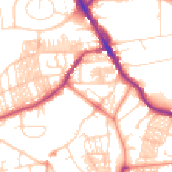
Daytime· 07:00 – 23:00
52.8dB

Night-time· 23:00 – 07:00
41.4dB