70 St Michaels Road, Leeds, LS6 3BG
About 70 St Michaels Road
70 St Michaels Road is a five-bedroom semi-detached house in Leeds (LS6 3BG). It has a recorded floor area of 114 m² (around 1228 sq ft), construction records dating it to before 1900 and council tax band D. The latest certificate (May 2011) shows an F (score 35), near the bottom of the EPC scale. The recommended improvements would push it to E (score 45). The latest certificate is from May 2011, so improvements made since then won't be reflected. Other recorded features include a basement. Period features are noted in the property record.
At 114 m² it's 18.5% smaller than the typical home in the postcode (140 m² median across 48 EPCs). On energy efficiency it sits in the bottom 10% of properties in this postcode — significant headroom for improvement. Across 2012–2021, sale prices on this property compounded at 5.4% per year. Today's modelled estimate of £541,000 is 35.3% above the 2021 sale price. On a £-per-square-foot basis, the last sale (£326/sq ft) was about 208% above the typical sold price in the postcode. 2 planning records sit against the property, 1 approved, 1 refused. Sold April 2021 for £400,000. That sale was during the post-pandemic price surge, when transactions cleared materially above pre-2020 trend.
Know exactly what you're buying at 70 St Michaels Road
Before you offer, see what the listing won't tell you, the true value, the red flags and the full history.
Already flagged here
Valuation
against the asking price
Risks
planning & flood
Sold prices
similar homes nearby
Trends
the local market
What this property has
Inside
- Bedrooms5
- Bathrooms2
- Open-plan layoutYes
- Utility roomYes
- CloakroomYes
- EnsuiteYes
- StudyYes
- BasementYes
Outside
- Private gardenYes
Building
- Period featuresYes
Energy performance
70 St Michaels Road sits at the bottom of the postcode for energy efficiency — meaningful headroom to improve.
EPC Expired
This certificate is over 10 years old and is no longer valid.Expired 26 May 2021
EPC Rating
Planning history
A tree works application was refused at 70 St Michaels Road in 2023.
- Oct 2025TreesIn report
Ground works and associated root severance to install root barrier (20m in length/ 3.5m deep)
- Agent
- Tamla Trees Ltd
- Documents
- 10 docs on file
- Reference
- 25/05764/TR
- Feb 2023Tree WorksTreesIn report
T5 Beech - Fell and treat stump with eco plugs. This vegetation is implicated as causing subsidence damage to 70 St. Michaels Road EXEMPT - HG2 Privet - Remove section of edge group and grind stumps to allow a minimum clearance of 3m from the front of the property. No work to remaining hedge in group. (Total 1.8m in length to remove)
- Documents
- 7 docs on file
- Reference
- 23/00359/TR
We flagged 1 thing worth checking at 70 St Michaels Road
Independent checks surfaced things a buyer would want to understand before offering. The report explains each one in full, with the underlying data and what to ask.
- Signs of HMO activity in the area
30-day money-back guarantee
Sales history & valuation
The latest sale landed in the post-pandemic price surge — useful context when reading the figure.
£541,000
Modelled from EPC, postcode comparables and a sale-price growth of 5.4% per year over 9 years.
£400,000
Growth on file: 5.4% per year over 9 years.
Sales timeline
11 April 2021Most recent
£400,000
+60.0%over 8 years30 April 2012
£250,000
Median price across the last 5 sales in LS6 3BG: £495,000 (2023–2021).
Nearby sales in LS6 3BG
Everything we know about 70 St Michaels Road, in one report
What it's really worth, what could be wrong, and the planning, sales and area data in full.
What we flagged
- Signs of HMO activity in the area

Versus other St Michaels Road homes
Price per m² for 70 St Michaels Road runs comfortably ahead of the street norm.
Price per m²
£3,505
Street avg £1,482
Floor Area
114 m²
Street avg 163 m²
Habitable Rooms
9 rooms
Street avg 7 rooms
CO₂ Emissions
12.0 t/year
Street avg 7.5 t/year
Similar properties nearby
1 Cardigan Road
LS6 3AE
1 Foxcroft Road
LS6 3NJ
1 Ash Crescent
LS6 3LE
1 Batcliffe Drive
LS6 3QB
1 Ash Gardens
LS6 3LD
1 Dennistead Crescent
LS6 3PU
1 Derwentwater Terrace
LS6 3JL
1 Foxcroft Green
LS6 3NR
The neighbourhood at a glance
Rail-style transport is unusually close for this postcode.
Crime
5/mo
Steady year-on-year across the wider district.
Nearest stop
0.1 km
Headingley Stadium — bus stop.
Closest school
0.4 km
Spring Bank Primary School. 37 schools nearby.
Go deeper on the local area
The full report breaks down crime, transport links, schools and air quality in depth.
Road noise across the postcode
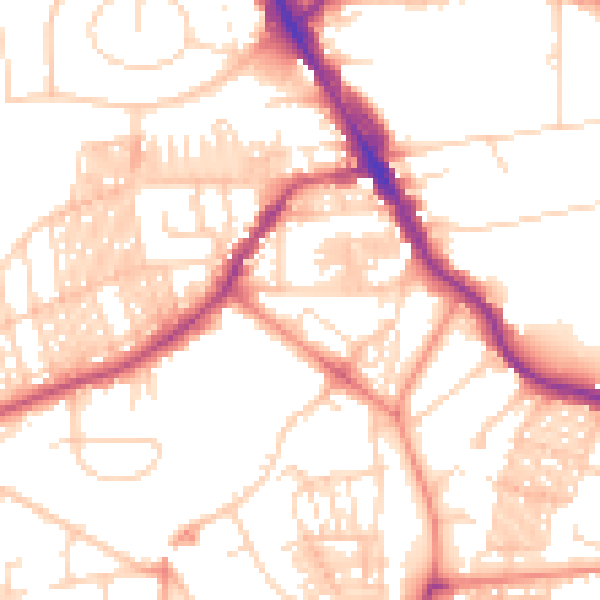
Daytime· 07:00 – 23:00
52.8dB

Night-time· 23:00 – 07:00
41.4dB