7 Wellington Road, Redbridge, London, E11 2AN
About 7 Wellington Road
7 Wellington Road is an end-of-terrace house in Redbridge, London, London (E11 2AN). It has a recorded floor area of 249 m² (around 2680 sq ft), construction records dating it to 1900-1929 and council tax band F. The latest certificate (October 2025) shows a D (score 56), a step below the typical UK home. The recommended improvements would push it to C (score 75). Main heating runs on electricity.
It hasn't traded since January 2005, a hold of 21 years that's notably long for the area. At 249 m² the property is well over the postcode median (57 m² across 11 EPCs), placing it in the larger end of the local stock. Today's modelled estimate of £1,379,000 sits 244.7% above the 2005 sale of £400,000. 10 planning records sit against the property, 6 approved, 4 refused. Past consents include HMO conversion, a loft conversion and tree works, meaningful when judging how the property has evolved.
Know exactly what you're buying at 7 Wellington Road
Before you offer, see what the listing won't tell you, the true value, the red flags and the full history.
Already flagged here
Valuation
against the asking price
Risks
planning & flood
Sold prices
similar homes nearby
Trends
the local market
Energy performance
EPC Rating
Planning history
Council records show a subdivision application — the property's legal arrangement has been altered.
- Jan 2022HMOFullIn report
Change of use from three flats (C3) to Large HMO for up to 13 people (Sui-generis). (summary)
- Council
- X BC Area 1 North West (AL), Neighbourhood CIL Area - West
- Documents
- 12 docs on file
- Reference
- 4094/21
- Aug 2020HMOFullIn report
Change of use from single dwelling house (C3) to a large HMO for up to 20 people (Sui-genesis) (Summary)
- Council
- X BC Area 1 North West (AL)
- Documents
- 16 docs on file
- Reference
- 1681/20
We flagged 1 thing worth checking at 7 Wellington Road
Independent checks surfaced things a buyer would want to understand before offering. The report explains each one in full, with the underlying data and what to ask.
- Signs of HMO activity in the area
30-day money-back guarantee
Sales history & valuation
7 Wellington Road's estimated value is more than triple its earliest registered sale price (2005).
£1,379,000
Modelled from EPC, postcode comparables.
£400,000
Recorded with HM Land Registry.
Sales timeline
28 January 2005Most recent
£400,000
Median price across the last 5 sales in E11 2AN: £310,000 (2024–2012).
Nearby sales in E11 2AN
Flat 3, 3 Wellington Road, London, E11 2AN
Sold Sept 2024
£315,0004e, Wellington Road, London, E11 2AN
Sold May 2021
£410,9992a, Wellington Road, Redbridge, London, E11 2AN
Sold Oct 2015
£310,000Flat 4, 3 Wellington Road, London, E11 2AN
Sold Apr 2013
£268,000Flat 1, 3 Wellington Road, London, E11 2AN
Sold Oct 2012
£165,500
Everything we know about 7 Wellington Road, in one report
What it's really worth, what could be wrong, and the planning, sales and area data in full.
What we flagged
- Signs of HMO activity in the area

Similar properties nearby
1 Burnham Crescent, Redbridge
E11 2DA
1 Elm Close, Redbridge
E11 2JE
1 Draycot Road, Redbridge
E11 2NU
1 Elm Hall Gardens, Redbridge
E11 2HX
1 Addison Road, Redbridge
E11 2RG
1 Cranbourne Avenue, Redbridge
E11 2BH
1 Colvin Gardens, Redbridge
E11 2DD
1 Dangan Road, Redbridge
E11 2RF
The neighbourhood at a glance
Rail-style transport is unusually close for this postcode.
Crime
5/mo
Rising year-on-year across the wider district.
Nearest stop
0.1 km
High Street / Hermon Hill — bus stop.
Closest school
0.1 km
Wanstead Church School. 45 schools nearby.
Go deeper on the local area
The full report breaks down crime, transport links, schools and air quality in depth.
Road noise across the postcode
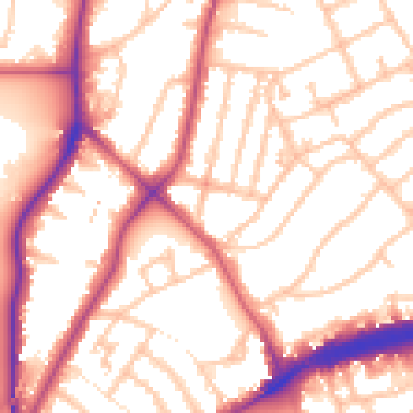
Daytime· 07:00 – 23:00
55.3dB

Night-time· 23:00 – 07:00
46.0dB