Flat 1, 3 Wellington Road, London, E11 2AN
About Flat 1
Flat 1 is a one-bedroom semi-detached house in London (E11 2AN). It has a recorded floor area of 51 m² (around 549 sq ft) and construction records dating it to 1900-1929. The latest certificate (October 2018) shows a C (score 69), just inside the C band. When first surveyed in November 2008 the rating was D, the property has climbed 1 band since. Between certificates, window efficiency went from Very Poor to Average and lighting went from Very Poor to Very Good; while wall efficiency dropped from Good to Very Poor.
Across 1997–2012, sale prices on this property compounded at 7.9% per year. Today's modelled estimate of £282,000 sits 70.4% above the 2012 sale of £165,500. On a £-per-square-foot basis, the last sale (£301/sq ft) was about 84.9% above the typical sold price in the postcode. Last changed hands 14 years ago, in October 2012. Across the public record there are 6 sales, relatively high churn for a single property. At 51 m² it's 20.3% smaller than the typical home in the postcode (64 m² median across 11 EPCs).
Know exactly what you're buying at Flat 1
Before you offer, see what the listing won't tell you, the true value, the red flags and the full history.
Already flagged here
Valuation
against the asking price
Risks
planning & flood
Sold prices
similar homes nearby
Trends
the local market
What this property has
Inside
- Bedrooms1
- Dining roomYes
Energy performance
EPC Rating
Property Improvements
Changes detected from historical EPC data
Heating controls upgraded for better temperature management
Single glazing replaced with double or better glazing
More low energy lighting installed
Planning history
Flat 1 has no planning applications on record.
Notable planning nearby
18applications of note in the surrounding area
We flagged 1 thing worth checking at Flat 1
Independent checks surfaced things a buyer would want to understand before offering. The report explains each one in full, with the underlying data and what to ask.
- Signs of HMO activity in the area
30-day money-back guarantee
Sales history & valuation
Sale price has grown by over 3x since 1997.
£282,000
Modelled from EPC, postcode comparables and a sale-price growth of 7.9% per year over 16 years.
£165,500
Growth on file: 7.9% per year over 16 years.
Sales timeline
4 October 2012Most recent
£165,500
27 April 2006
£165,000
+94.1%over 4 years7 June 2001
£85,000
+4.3%over 8 months5 October 2000
£81,500
+53.8%over 2 years30 January 1998
£53,000
+5.0%over 11 months28 February 1997
£50,500
Median price across the last 5 sales in E11 2AN: £315,000 (2024–2005).
Nearby sales in E11 2AN
Flat 3, 3 Wellington Road, London, E11 2AN
Sold Sept 2024
£315,0004e, Wellington Road, London, E11 2AN
Sold May 2021
£410,9992a, Wellington Road, Redbridge, London, E11 2AN
Sold Oct 2015
£310,000Flat 4, 3 Wellington Road, London, E11 2AN
Sold Apr 2013
£268,0007 Wellington Road, Redbridge, London, E11 2AN
Sold Jan 2005
£400,000
Everything we know about Flat 1, in one report
What it's really worth, what could be wrong, and the planning, sales and area data in full.
What we flagged
- Signs of HMO activity in the area

Versus other Wellington Road homes
Flat 1 is notably below the street on habitable rooms.
Price per m²
£3,245
Street avg £4,623
Floor Area
51 m²
Street avg 60 m²
Habitable Rooms
2 rooms
Street avg 3 rooms
CO₂ Emissions
2.1 t/year
Street avg 2.4 t/year
Similar properties nearby
35a, Flat 3, High Street Wanstead
E11 2AA
23a, Flat 2, High Street Wanstead, Redbridge
E11 2AA
23a, Flat 6, High Street Wanstead, Redbridge
E11 2AA
23a, Flat 8, High Street Wanstead, Redbridge
E11 2AA
23a, Flat 7, High Street Wanstead, Redbridge
E11 2AA
15 17, Flat 4, Blake Hall Road
E11 2QQ
23a, Flat 1, High Street Wanstead, Redbridge
E11 2AA
2 Cuckfield House, Flat 2, Wellington Road
E11 2AN
The neighbourhood at a glance
Rail-style transport is unusually close for this postcode.
Crime
5/mo
Rising year-on-year across the wider district.
Nearest stop
0.1 km
High Street / Hermon Hill — bus stop.
Closest school
0.1 km
Wanstead Church School. 45 schools nearby.
Go deeper on the local area
The full report breaks down crime, transport links, schools and air quality in depth.
Road noise across the postcode
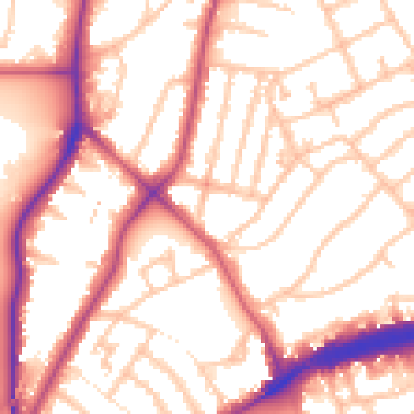
Daytime· 07:00 – 23:00
55.3dB

Night-time· 23:00 – 07:00
46.0dB