19 Brae Avenue, Bradford, BD2 4AY
About 19 Brae Avenue
19 Brae Avenue is a three-bedroom semi-detached house in Bradford (BD2 4AY). It has a recorded floor area of 60 m² (around 646 sq ft), construction records dating it to 1930-1949 and council tax band B. The latest certificate (March 2018) shows a D (score 67), on the cusp of jumping into the C band. The recommended improvements would lift it to B (score 83), a 2-band jump.
Held since June 2002 — that's 24 years off the open market, well above the local norm. Today's modelled estimate of £165,000 sits 247.4% above the 2002 sale of £47,500. On a £-per-square-foot basis, the last sale (£74/sq ft) was about 41.8% below the postcode norm. At 60 m² it's 23.1% smaller than the typical home in the postcode (78 m² median across 25 EPCs).
What this property has
Inside
- Bedrooms3
- Bathrooms1
Everything you need to know about 19 Brae Avenue
The true value, the hidden risks and the full sale history, in one report.
Pick your report · every report is £14.99
One time fee only - money back guarantee

The data behind every report


Energy performance
Recommended upgrades on file would lift this property by multiple EPC bands.
EPC Rating
Get a survey for this property
Level 2 HomeBuyer Report
We've checked 10 risk factors against the available data for this property and believe a Level 2 HomeBuyer Report could be a suitable option for you.
From £495 · Includes VAT
Planning history
19 Brae Avenue has no planning applications on record.
But the area is active
2 notable applications nearby — larger schemes and conversions that could reshape the street. The report maps them all.
Sales history & valuation
19 Brae Avenue's estimated value is more than triple its earliest registered sale price (2002).
£165,000
Modelled from EPC, postcode comparables.
£47,500
Recorded with HM Land Registry.
Sales timeline
13 June 2002Most recent
£47,500
Median price across the last 5 sales in BD2 4AY: £147,200 (2023–2020).
Versus other Brae Avenue homes
On years held, 19 Brae Avenue stands well clear of the street.
Price per m²
£792
Street avg £1,476
Floor Area
60 m²
Street avg 82 m²
Habitable Rooms
4 rooms
Street avg 5 rooms
CO₂ Emissions
2.9 t/year
Street avg 4.2 t/year
Everything you need to know about 19 Brae Avenue
The true value, the hidden risks and the full sale history, in one report.
Pick your report · every report is £14.99
One time fee only - money back guarantee
The data behind every report
Similar properties nearby
1 Grove House Drive
BD2 4DS
1 Boundary Place
BD2 4PA
1 Brae Avenue
BD2 4AY
1 Ashbourne Close
BD2 4DY
1 Derwent Road
BD2 4HR
1 Ennerdale Drive
BD2 4JD
1 Ashbourne Haven
BD2 4DN
1 Ashbourne Rise
BD2 4DJ
The neighbourhood at a glance
Crime
3/mo
Steady year-on-year across the wider district.
Nearest stop
0.1 km
Ashbourne Crescent — bus stop.
Closest school
0.6 km
Grove House Primary School. 54 schools nearby.
Go deeper on the local area
A Local Area report breaks down crime, transport links, schools and air quality in depth.
Road noise across the postcode
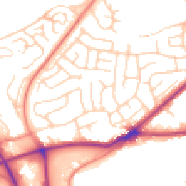
Daytime· 07:00 – 23:00
52.7dB

Night-time· 23:00 – 07:00
42.2dB