10 All Saints Crescent, Watford, WD25 0LU
About 10 All Saints Crescent
10 All Saints Crescent is a detached house in Watford (WD25 0LU). It has a recorded floor area of 81 m² (around 872 sq ft), construction records dating it to 1983-1990 and council tax band E. The latest certificate (April 2021) shows a D (score 68), on the cusp of jumping into the C band. The recommended improvements would lift it to B (score 83), a 2-band jump.
Across 2021–2021, sale prices on this property compounded at -8.9% per year. Today's modelled estimate of £644,000 is 27.9% above the 2021 sale price. On a £-per-square-foot basis, the last sale (£577/sq ft) was about 89.1% above the typical sold price in the postcode. Sold May 2021 for £503,500. That sale was during the post-pandemic price surge, when transactions cleared materially above pre-2020 trend.
Everything you need to know about 10 All Saints Crescent
The true value, the hidden risks and the full sale history, in one report.
30-day money-back guarantee

The data behind every report


Energy performance
Recommended upgrades on file would lift this property by multiple EPC bands.
EPC Rating
Planning history
10 All Saints Crescent has no planning applications on record.
Notable planning nearby
2applications of note in the surrounding area
Sales history & valuation
10 All Saints Crescent changed hands twice within eighteen months — unusual for the area.
£644,000
Modelled from EPC, postcode comparables and a sale-price growth of -8.9% per year over 1 year.
£503,500
Growth on file: -8.9% per year over 1 year.
Sales timeline
27 May 2021Most recent
£503,500
-8.9%10 April 2021
£552,500
Median price across the last 5 sales in WD25 0LU: £512,500 (2024–2019).
Nearby sales in WD25 0LU
3 All Saints Crescent, Watford, WD25 0LU
Sold Feb 2024
£505,0009 All Saints Crescent, Watford, WD25 0LU
Sold Oct 2022
£560,50025 All Saints Crescent, Watford, WD25 0LU
Sold Mar 2022
£272,0007 All Saints Crescent, Watford, WD25 0LU
Sold Aug 2019
£512,50015 All Saints Crescent, Watford, WD25 0LU
Sold Apr 2019
£525,000
Versus other All Saints Crescent homes
On floor area, 10 All Saints Crescent runs well behind the street norm.
Price per m²
£6,216
Street avg £4,992
Floor Area
81 m²
Street avg 93 m²
Habitable Rooms
4 rooms
Street avg 5 rooms
CO₂ Emissions
3.1 t/year
Street avg 4.1 t/year
Everything you need to know about 10 All Saints Crescent
The true value, the hidden risks and the full sale history, in one report.
30-day money-back guarantee
The data behind every report
Similar properties nearby
The neighbourhood at a glance
Crime
4/mo
Steady year-on-year across the wider district.
Nearest stop
0.1 km
Three Horseshoes PH West — bus stop.
Closest school
0.2 km
St Catherine of Siena Catholic Primary School. 20 schools nearby.
Go deeper on the local area
The full report breaks down crime, transport links, schools and air quality in depth.
Road noise across the postcode
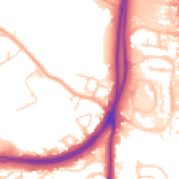
Daytime· 07:00 – 23:00
54.8dB

Night-time· 23:00 – 07:00
47.9dB