1 East Drive, Watford, WD25 0AH
About 1 East Drive
1 East Drive is a semi-detached house in Watford (WD25 0AH). It has a recorded floor area of 94 m² (around 1012 sq ft), construction records dating it to 1930-1949 and council tax band D. The latest certificate (January 2020) shows a D (score 68), on the cusp of jumping into the C band. The recommended improvements would lift it to B (score 87), a 2-band jump.
At 94 m² it's 22.1% larger than the typical home in the postcode (77 m² median across 31 EPCs). Across 1999–2021, sale prices on this property compounded at 7.6% per year. On a £-per-square-foot basis, the last sale (£490/sq ft) was about 98.4% above the typical sold price in the postcode. Sold March 2021 for £496,000. That sale was during the post-pandemic price surge, when transactions cleared materially above pre-2020 trend. One historical planning record sits against the property in 2006.
Everything you need to know about 1 East Drive
The true value, the hidden risks and the full sale history, in one report.
30-day money-back guarantee

The data behind every report


Energy performance
Recommended upgrades on file would lift this property by multiple EPC bands.
EPC Rating
Planning history
- Jul 2006PorchFullIn report
Extension: Part single, part two storey · Side of property
Erection of part two storey/part single storey side extension and front porch
Extension- Documents
- 22 docs on file
- Reference
- 06/00671/FUL
What's in 1 East Drive, Watford, WD25 0AH's planning history?
Refusals, disputes and full decisions on this property and nearby, in the report.
Sales history & valuation
Price for 1 East Drive has grown more than fourfold since the 1999 starting point.
£538,000
Modelled from EPC, postcode comparables and a sale-price growth of 7.6% per year over 22 years.
£496,000
Growth on file: 7.6% per year over 22 years.
Sales timeline
4 March 2021Most recent
£496,000
-0.8%22 December 2020
£500,000
+387.8%over 21 years29 July 1999
£102,500
Median price across the last 5 sales in WD25 0AH: £425,000 (2024–2021).
Versus other East Drive homes
Habitable Rooms for 1 East Drive runs comfortably ahead of the street norm.
Price per m²
£5,277
Street avg £4,333
Floor Area
94 m²
Street avg 79 m²
Habitable Rooms
6 rooms
Street avg 4 rooms
CO₂ Emissions
3.4 t/year
Street avg 3.6 t/year
Everything you need to know about 1 East Drive
The true value, the hidden risks and the full sale history, in one report.
30-day money-back guarantee
The data behind every report
Similar properties nearby
The neighbourhood at a glance
Crime
4/mo
Steady year-on-year across the wider district.
Nearest stop
0.4 km
Library — bus stop.
Closest school
0.4 km
Cherry Tree Primary School. 29 schools nearby.
Go deeper on the local area
The full report breaks down crime, transport links, schools and air quality in depth.
Road noise across the postcode
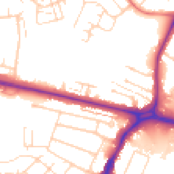
Daytime· 07:00 – 23:00
52.3dB

Night-time· 23:00 – 07:00
43.5dB