280 Leggatts Rise, Watford, WD25 0BL
About 280 Leggatts Rise
280 Leggatts Rise is a three-bedroom semi-detached house in Watford (WD25 0BL). It has a recorded floor area of 100 m² (around 1076 sq ft), construction records dating it to 1950-1966 and council tax band C. The latest certificate (June 2023) shows a C (score 71). The recommended improvements would push it to B (score 85).
Across 1995–2023, sale prices on this property compounded at 7.1% per year. On a £-per-square-foot basis, the last sale (£476/sq ft) was about 67.9% above the typical sold price in the postcode. Last sale on file: £512,235 in October 2023.
What this property has
Inside
- Bedrooms3
- Bathrooms1
- Utility roomYes
- CloakroomYes
Outside
- Private gardenRear
- ParkingOff street
Everything you need to know about 280 Leggatts Rise
The true value, the hidden risks and the full sale history, in one report.
30-day money-back guarantee

The data behind every report


Energy performance
EPC Rating
Planning history
280 Leggatts Rise has no planning applications on record.
Notable planning nearby
2applications of note in the surrounding area
Sales history & valuation
280 Leggatts Rise has more than quadrupled in price since its earliest registered sale in 1995.
£534,000
Modelled from EPC, postcode comparables and a sale-price growth of 7.1% per year over 28 years.
£512,235
Growth on file: 7.1% per year over 28 years.
Sales timeline
25 October 2023Most recent
£512,235
+104.9%over 15 years30 April 2008
£250,000
+233.6%over 12 years30 August 1995
£74,950
Median price across the last 5 sales in WD25 0BL: £440,000 (2025–2020).
Nearby sales in WD25 0BL
Versus other Leggatts Rise homes
On price per m², 280 Leggatts Rise stands well clear of the street.
Price per m²
£5,122
Street avg £3,765
Floor Area
100 m²
Street avg 95 m²
Habitable Rooms
4 rooms
Street avg 5 rooms
CO₂ Emissions
3.4 t/year
Street avg 3.9 t/year
Everything you need to know about 280 Leggatts Rise
The true value, the hidden risks and the full sale history, in one report.
30-day money-back guarantee
The data behind every report
Similar properties nearby
1 Bramble Close
WD25 0HF
1 Austin Villas, Woodside Road
WD25 0GD
1 Derwent Close
WD25 0NQ
1 All Saints Crescent
WD25 0LU
1 Coopers Mews
WD25 0JD
1 Avon Close
WD25 0DN
1 Aspen Park Drive
WD25 0RS
1 Cypress Walk
WD25 0RY
The neighbourhood at a glance
Crime
4/mo
Steady year-on-year across the wider district.
Nearest stop
0.2 km
Maytree Crescent — bus stop.
Closest school
0.4 km
Cherry Tree Primary School. 27 schools nearby.
Go deeper on the local area
The full report breaks down crime, transport links, schools and air quality in depth.
Road noise across the postcode
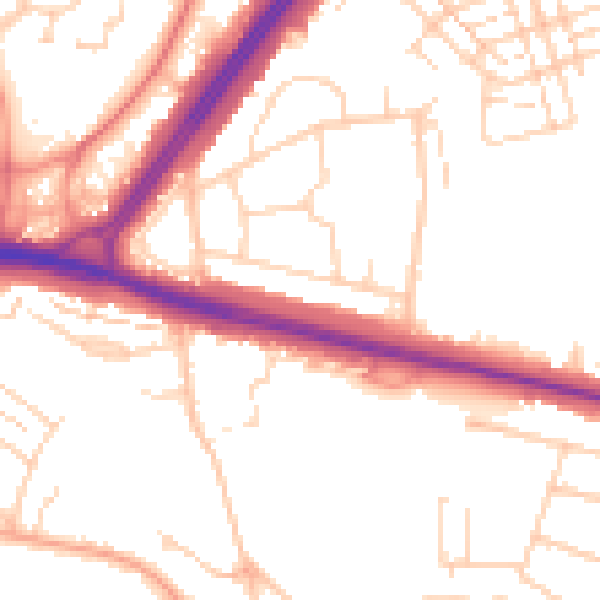
Daytime· 07:00 – 23:00
52.1dB

Night-time· 23:00 – 07:00
42.9dB