232 Leggatts Rise, Watford, WD25 0BL
About 232 Leggatts Rise
232 Leggatts Rise is a three-bedroom mid-terrace house in Watford (WD25 0BL). It has a recorded floor area of 93 m² (around 1001 sq ft), construction records dating it to 1950-1966 and council tax band C. The latest certificate (October 2016) shows a D (score 56), a step below the typical UK home. The recommended improvements would lift it to B (score 86), a 2-band jump.
Across 1998–2022, sale prices on this property compounded at 6.8% per year. On a £-per-square-foot basis, the last sale (£465/sq ft) was about 82.5% above the typical sold price in the postcode. Sold December 2022 for £465,000. That sale was during the post-pandemic price surge, when transactions cleared materially above pre-2020 trend.
What this property has
Inside
- Bedrooms3
- Bathrooms1
Outside
- ParkingOff road
Building
- Heating systemGas
Everything you need to know about 232 Leggatts Rise
The true value, the hidden risks and the full sale history, in one report.
30-day money-back guarantee

The data behind every report


Energy performance
Recommended upgrades on file would lift this property by multiple EPC bands.
EPC Rating
Planning history
232 Leggatts Rise has no planning applications on record.
Notable planning nearby
2applications of note in the surrounding area
Sales history & valuation
Price for 232 Leggatts Rise has grown more than fourfold since the 1998 starting point.
£460,000
Modelled from EPC, postcode comparables and a sale-price growth of 6.8% per year over 24 years.
£465,000
Growth on file: 6.8% per year over 24 years.
Sales timeline
19 December 2022Most recent
£465,000
+21.4%over 5 years29 June 2017
£383,000
+301.0%over 18 years12 November 1998
£95,500
Median price across the last 5 sales in WD25 0BL: £440,000 (2025–2020).
Nearby sales in WD25 0BL
Versus other Leggatts Rise homes
EPC Rating for 232 Leggatts Rise lags the street by a wide margin.
Price per m²
£5,000
Street avg £3,777
Floor Area
93 m²
Street avg 95 m²
Habitable Rooms
4 rooms
Street avg 5 rooms
CO₂ Emissions
5.1 t/year
Street avg 3.8 t/year
Everything you need to know about 232 Leggatts Rise
The true value, the hidden risks and the full sale history, in one report.
30-day money-back guarantee
The data behind every report
Similar properties nearby
1 Derwent Close
WD25 0NQ
1 Austin Villas, Woodside Road
WD25 0GD
1 Bramble Close
WD25 0HF
1 All Saints Crescent
WD25 0LU
1 Alder Walk
WD25 0RT
1 Cedar Wood Drive
WD25 0RR
1 Aspen Park Drive
WD25 0RS
1 Avon Close
WD25 0DN
The neighbourhood at a glance
Crime
4/mo
Steady year-on-year across the wider district.
Nearest stop
0.2 km
Maytree Crescent — bus stop.
Closest school
0.4 km
Cherry Tree Primary School. 27 schools nearby.
Go deeper on the local area
The full report breaks down crime, transport links, schools and air quality in depth.
Road noise across the postcode
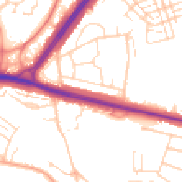
Daytime· 07:00 – 23:00
52.1dB

Night-time· 23:00 – 07:00
42.9dB