17 Clarence Road, Bromley, London, SE9 4SJ
About 17 Clarence Road
17 Clarence Road is a three-bedroom semi-detached house in Bromley, London, London (SE9 4SJ). It has a recorded floor area of 112 m² (around 1206 sq ft), construction records dating it to 1900-1929 and council tax band E. The latest certificate (March 2019) shows a D (score 63), on the cusp of jumping into the C band. When first surveyed in November 2008 the rating was E, the property has climbed 1 band since. Between certificates, lighting went from Very Poor to Very Good; while roof efficiency dropped from Good to Very Poor. The recommended improvements would push it to C (score 80). Records show the property has been extended at some point in its history.
One planning record on file: an extension approved in 2017. Past consents include an extension, meaningful when judging how the property has evolved. Across 2005–2020, sale prices on this property compounded at 5.8% per year. Today's modelled estimate of £611,000 is 23.4% above the 2020 sale price. On a £-per-square-foot basis, the last sale (£411/sq ft) was about 87.2% above the typical sold price in the postcode. Sold January 2020 for £495,000.
What this property has
Inside
- Bedrooms3
- Bathrooms2
Outside
- Private gardenYes
- ParkingOff street
Building
- Previously extendedYes
Everything you need to know about 17 Clarence Road
The true value, the hidden risks and the full sale history, in one report.
30-day money-back guarantee

The data behind every report


Energy performance
EPC Rating
Property Improvements
Changes detected from historical EPC data
Heating controls upgraded for better temperature management
More low energy lighting installed
Planning history
17 Clarence Road has an approved single-storey rear extension on the planning record.
- Jun 2017ExtensionOutlineIn report
Extension: Single storey · Rear of property
Single storey rear extension, extending beyond the rear wall of the original house by 4m, for which the maximum height would be 2.9m, and for which the height of the eaves would be 2.7m. (42 Day Notification for Householder Permitted Development Prior Approval)
- Documents
- 6 docs on file
- Reference
- 17/01817/HHPA
We flagged 2 things worth checking at 17 Clarence Road
Independent checks surfaced things a buyer would want to understand before offering. The report explains each one in full, with the underlying data and what to ask.
- Signs of HMO activity in the area
- Larger development activity nearby
30-day money-back guarantee
Sales history & valuation
Sale price has at least doubled since 2005.
£611,000
Modelled from EPC, postcode comparables and a sale-price growth of 5.8% per year over 15 years.
£495,000
Growth on file: 5.8% per year over 15 years.
Sales timeline
2 January 2020Most recent
£495,000
+126.5%over 14 years19 May 2005
£218,500
Median price across the last 5 sales in SE9 4SJ: £400,000 (2021–2014).
Nearby sales in SE9 4SJ
15 Clarence Road, Bromley, London, SE9 4SJ
Sold Jun 2021
£533,00011 Clarence Road, Bromley, London, SE9 4SJ
Sold Jul 2018
£600,0005 Clarence Road, Bromley, London, SE9 4SJ
Sold Jun 2014
£250,0007 Clarence Road, Bromley, London, SE9 4SJ
Sold Sept 2012
£315,00021 Clarence Road, Bromley, London, SE9 4SJ
Sold Jun 2009
£270,000
Versus other Clarence Road homes
17 Clarence Road is notably below the street on habitable rooms.
Price per m²
£4,420
Street avg £3,499
Floor Area
112 m²
Street avg 100 m²
Habitable Rooms
4 rooms
Street avg 5 rooms
CO₂ Emissions
4.6 t/year
Street avg 4.7 t/year
Everything you need to know about 17 Clarence Road
The true value, the hidden risks and the full sale history, in one report.
30-day money-back guarantee
The data behind every report
Similar properties nearby
1 Blanchard Close, Bromley
SE9 4TZ
1 Dittisham Road, Bromley
SE9 4BJ
1 Bentfield Gardens, Lewisham
SE9 4PN
1 Beaconsfield Road, Bromley
SE9 4DJ
1 Avondale Road, Bromley
SE9 4SN
1 Duddington Close, Bromley
SE9 4JD
1 Cattistock Road, Bromley
SE9 4AW
1 Carters Hill Close, Bromley
SE9 4RS
The neighbourhood at a glance
Rail-style transport is unusually close for this postcode.
Crime
6/mo
Rising year-on-year across the wider district.
Nearest stop
0.1 km
Mottingham Road / Court Road — bus stop.
Closest school
0.7 km
St Vincent's Catholic Primary School. 35 schools nearby.
Go deeper on the local area
The full report breaks down crime, transport links, schools and air quality in depth.
Road noise across the postcode
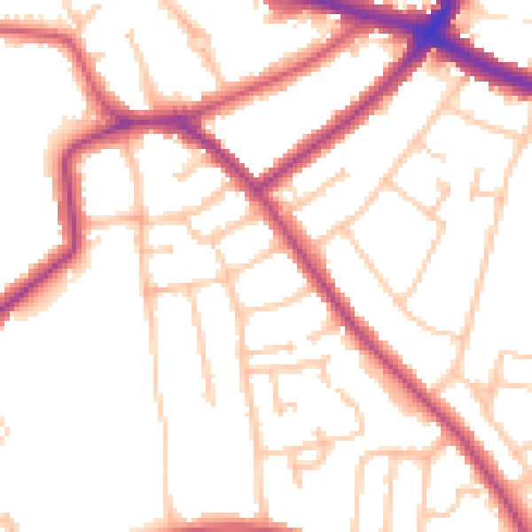
Daytime· 07:00 – 23:00
51.8dB

Night-time· 23:00 – 07:00
42.1dB