1 Cattistock Road, Bromley, London, SE9 4AW
About 1 Cattistock Road
1 Cattistock Road is a four-bedroom end-of-terrace house in Bromley, London, London (SE9 4AW). It has a recorded floor area of 64 m² (around 689 sq ft), construction records dating it to 1930-1949 and council tax band C. The latest certificate (June 2014) shows a D (score 62), on the cusp of jumping into the C band. When first surveyed in January 2012 the rating was E, the property has climbed 1 band since. Between certificates, roof efficiency went from Average to Good, window efficiency went from Average to Good and hot-water efficiency went from Poor to Good. The recommended improvements would lift it to B (score 84), a 2-band jump. The latest certificate is from June 2014, so improvements made since then won't be reflected.
Today's modelled estimate of £397,000 sits 103.6% above the 2012 sale of £195,000. On a £-per-square-foot basis, the last sale (£283/sq ft) was about 28% above the typical sold price in the postcode. 4 planning records sit against the property, 1 approved, 1 refused. Past consents include an extension, meaningful when judging how the property has evolved. 14 years since the last transfer (August 2012).
What this property has
Inside
- Bedrooms4
Everything you need to know about 1 Cattistock Road
The true value, the hidden risks and the full sale history, in one report.
30-day money-back guarantee

The data behind every report


Energy performance
Recommended upgrades on file would lift this property by multiple EPC bands.
EPC Expired
This certificate is over 10 years old and is no longer valid.Expired 24 Jun 2024
EPC Rating
Property Improvements
Changes detected from historical EPC data
Heating controls upgraded for better temperature management
Hot water system upgraded
Window efficiency improved
Roof insulation improved
More low energy lighting installed
Planning history
Council records show a subdivision application — the property's legal arrangement has been altered.
- Jan 2023Change of UseOutlineIn report
Change of use from residential dwelling to an Ofsted Registered Children's Home LAWFUL DEVELOPMENT CERTIFICATE (PROPOSED)
- Agent
- OwnLife Residential
- Documents
- 44 docs on file
- Reference
- 22/01367/PLUD
- Oct 2018SubdivisionFullIn report
conversion of end of terrace property with existing two storey side extension to two self-contained flats, to include elevational alterations
Change of Use- Documents
- 16 docs on file
- Reference
- 18/03344/FULL1
We flagged 2 things worth checking at 1 Cattistock Road
Independent checks surfaced things a buyer would want to understand before offering. The report explains each one in full, with the underlying data and what to ask.
- Signs of HMO activity in the area
- Larger development activity nearby
30-day money-back guarantee
Sales history & valuation
1 Cattistock Road valuation sits well clear of the typical sold price in this postcode.
£397,000
Modelled from EPC, postcode comparables.
£195,000
Recorded with HM Land Registry.
Sales timeline
23 August 2012Most recent
£195,000
Median price across the last 5 sales in SE9 4AW: £345,000 (2024–2021).
Nearby sales in SE9 4AW
9 Cattistock Road, Bromley, London, SE9 4AW
Sold Aug 2024
£325,00057 Cattistock Road, Bromley, London, SE9 4AW
Sold Feb 2024
£345,00059 Cattistock Road, Bromley, London, SE9 4AW
Sold Mar 2022
£400,00043 Cattistock Road, Bromley, London, SE9 4AW
Sold Jun 2021
£375,00019 Cattistock Road, Bromley, London, SE9 4AW
Sold May 2021
£300,000
Versus other Cattistock Road homes
Floor Area for 1 Cattistock Road lags the street by a wide margin.
Price per m²
£3,047
Street avg £4,018
Floor Area
64 m²
Street avg 76 m²
Habitable Rooms
3 rooms
Street avg 4 rooms
CO₂ Emissions
3.1 t/year
Street avg 3.2 t/year
Everything you need to know about 1 Cattistock Road
The true value, the hidden risks and the full sale history, in one report.
30-day money-back guarantee
The data behind every report
Similar properties nearby
1 Dittisham Road, Bromley
SE9 4BJ
1 Bentfield Gardens, Lewisham
SE9 4PN
1 Beaconsfield Road, Bromley
SE9 4DJ
1 Blanchard Close, Bromley
SE9 4TZ
1 Avondale Road, Bromley
SE9 4SN
1 Duddington Close, Bromley
SE9 4JD
1 Carters Hill Close, Bromley
SE9 4RS
1 Elmhurst Road, Bromley
SE9 4DW
The neighbourhood at a glance
Rail-style transport is unusually close for this postcode.
Crime
6/mo
Rising year-on-year across the wider district.
Nearest stop
0.2 km
St Keverne Road — bus stop.
Closest school
0.3 km
Elmstead Wood Primary School. 32 schools nearby.
Go deeper on the local area
The full report breaks down crime, transport links, schools and air quality in depth.
Road noise across the postcode
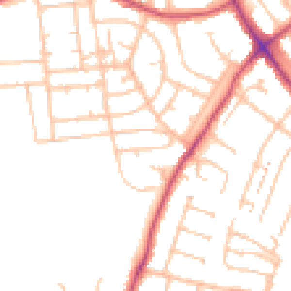
Daytime· 07:00 – 23:00
49.2dB

Night-time· 23:00 – 07:00
38.7dB