19 Cattistock Road, Bromley, London, SE9 4AW
About 19 Cattistock Road
19 Cattistock Road is a mid-terrace house in Bromley, London, London (SE9 4AW). It has a recorded floor area of 107 m² (around 1152 sq ft), construction records dating it to 1967-1975 and council tax band C. The latest certificate (March 2021) shows a D (score 60), on the cusp of jumping into the C band. The recommended improvements would push it to C (score 78).
At 107 m² the property is well over the postcode median (67 m² across 23 EPCs), placing it in the larger end of the local stock. Across 2003–2021, sale prices on this property compounded at 4% per year. Today's modelled estimate of £394,000 is 31.3% above the 2021 sale price. Most recent transfer: May 2021 at £300,000. That sale was during the post-pandemic price surge, when transactions cleared materially above pre-2020 trend.
Everything you need to know about 19 Cattistock Road
The true value, the hidden risks and the full sale history, in one report.
30-day money-back guarantee

The data behind every report


Energy performance
EPC Rating
Planning history
19 Cattistock Road has no planning applications on record.
Notable planning nearby
16applications of note in the surrounding area
We flagged 2 things worth checking at 19 Cattistock Road
Independent checks surfaced things a buyer would want to understand before offering. The report explains each one in full, with the underlying data and what to ask.
- Signs of HMO activity in the area
- Larger development activity nearby
30-day money-back guarantee
Sales history & valuation
19 Cattistock Road has more than doubled in price since the earliest registered sale in 2003.
£394,000
Modelled from EPC, postcode comparables and a sale-price growth of 4.0% per year over 18 years.
£300,000
Growth on file: 4.0% per year over 18 years.
Sales timeline
27 May 2021Most recent
£300,000
+106.9%over 18 years16 January 2003
£145,000
Median price across the last 5 sales in SE9 4AW: £375,000 (2024–2021).
Nearby sales in SE9 4AW
9 Cattistock Road, Bromley, London, SE9 4AW
Sold Aug 2024
£325,00057 Cattistock Road, Bromley, London, SE9 4AW
Sold Feb 2024
£345,00059 Cattistock Road, Bromley, London, SE9 4AW
Sold Mar 2022
£400,00043 Cattistock Road, Bromley, London, SE9 4AW
Sold Jun 2021
£375,00015 Cattistock Road, Bromley, London, SE9 4AW
Sold Mar 2021
£395,000
Versus other Cattistock Road homes
Floor Area for 19 Cattistock Road runs comfortably ahead of the street norm.
Price per m²
£2,804
Street avg £4,040
Floor Area
107 m²
Street avg 74 m²
Habitable Rooms
5 rooms
Street avg 4 rooms
CO₂ Emissions
4.4 t/year
Street avg 3.1 t/year
Everything you need to know about 19 Cattistock Road
The true value, the hidden risks and the full sale history, in one report.
30-day money-back guarantee
The data behind every report
Similar properties nearby
1 Bentfield Gardens, Lewisham
SE9 4PN
1 Cattistock Road, Bromley
SE9 4AW
1 Dittisham Road, Bromley
SE9 4BJ
1 Duddington Close, Bromley
SE9 4JD
1 Carters Hill Close, Bromley
SE9 4RS
1 Clarence Road, Bromley
SE9 4SJ
1 Blanchard Close, Bromley
SE9 4TZ
1 Aldersgrove Avenue, Lewisham
SE9 4PW
The neighbourhood at a glance
Rail-style transport is unusually close for this postcode.
Crime
6/mo
Rising year-on-year across the wider district.
Nearest stop
0.2 km
St Keverne Road — bus stop.
Closest school
0.3 km
Elmstead Wood Primary School. 32 schools nearby.
Go deeper on the local area
The full report breaks down crime, transport links, schools and air quality in depth.
Road noise across the postcode
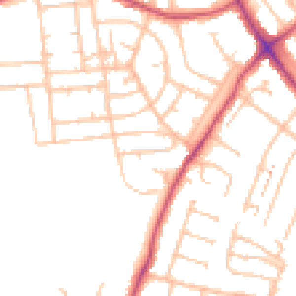
Daytime· 07:00 – 23:00
49.2dB

Night-time· 23:00 – 07:00
38.7dB