1 Thornden, Cowfold, Horsham, RH13 8AG
About 1 Thornden
1 Thornden is a three-bedroom detached house in Cowfold, Horsham, Horsham (RH13 8AG). It has a recorded floor area of 109 m² (around 1173 sq ft), construction records dating it to 1900-1929 and council tax band F. The latest certificate (September 2013) shows an E (score 47), well below the UK norm with real room to improve. The recommended improvements would lift it to B (score 81), a 3-band jump. Main heating runs on oil. The latest certificate is from September 2013, so improvements made since then won't be reflected.
One planning record on file: an extension approved in 2018. Past consents include an extension and an annexe, meaningful when judging how the property has evolved. Last sold in February 2015, so it's been off the market for around 11 years. Across 2001–2015, sale prices on this property compounded at 4.4% per year. Today's modelled estimate of £593,000 is 41.2% above the 2015 sale price.
What this property has
Inside
- Bedrooms3
Everything you need to know about 1 Thornden
The true value, the hidden risks and the full sale history, in one report.
Pick your report · every report is £14.99
One time fee only - money back guarantee

The data behind every report


Energy performance
1 Thornden's carbon output runs well above what efficient homes in the postcode produce.
EPC Expired
This certificate is over 10 years old and is no longer valid.Expired 10 Sept 2023
EPC Rating
Get a survey for this property
Level 3 Building Survey
Because the property was built before 1919 and has no mains gas supply, we believe a Level 3 building survey should be considered.
From £1,085 · Includes VAT
Planning history
1 application on record at 1 Thornden, Cowfold, Horsham, RH13 8AG
- Mar 2018AnnexFullOutcome in report
Extension: Part single, part two storey
Erection of single storey rear extension and two storey side/rear extension to create an annex.
Extension- Documents
- 19 docs on file
- Reference
- DC/17/2701
Unlock 1 Thornden, Cowfold, Horsham, RH13 8AG's full planning history
You're seeing the shape of it. The report has the substance.
- Every decision — granted, refused or withdrawn (1 on record)
- All 1 application on this property in full, plus 9 notable nearby
- The 19 documents, officer reports & conditions
- What the pattern means for extending or converting here
One time fee only - money back guarantee
Sales history & valuation
1 Thornden valuation sits well clear of the typical sold price in this postcode.
£593,000
Modelled from EPC, postcode comparables and a sale-price growth of 4.4% per year over 13 years.
£420,000
Growth on file: 4.4% per year over 13 years.
Sales timeline
13 February 2015Most recent
£420,000
+40.5%over 12 years24 September 2002
£299,000
+26.4%over 1 year30 August 2001
£236,500
Median price across the last 5 sales in RH13 8AG: £560,000 (2025–2021).
Nearby sales in RH13 8AG
35 Thornden, Cowfold, Horsham, RH13 8AG
Sold Mar 2025
£560,00037 Thornden, Cowfold, Horsham, RH13 8AG
Sold Feb 2025
£532,50033 Thornden, Cowfold, Horsham, RH13 8AG
Sold Aug 2023
£550,00011 Thornden, Cowfold, Horsham, RH13 8AG
Sold Jun 2021
£675,00031 Thornden, Cowfold, Horsham, RH13 8AG
Sold Jan 2021
£560,000
Versus other Thornden homes
1 Thornden is notably below the street on epc rating.
Price per m²
£3,853
Street avg £5,674
Floor Area
109 m²
Street avg 126 m²
Habitable Rooms
5 rooms
Street avg 5 rooms
CO₂ Emissions
7.6 t/year
Street avg 6.4 t/year
Everything you need to know about 1 Thornden
The true value, the hidden risks and the full sale history, in one report.
Pick your report · every report is £14.99
One time fee only - money back guarantee
The data behind every report
Similar properties nearby
1 Butchers Row, West Grinstead
RH13 8NF
1 Barrack Cottages, Brighton Road, Shermanbury
RH13 8HQ
1 Champions Gate Cottages, Cowfold Road, West Grinstead
RH13 8LZ
1 Bowshotts Cottages, Cowfold Road, West Grinstead
RH13 8LY
1 Buckwood Cottages, Worthing Road, West Grinstead
RH13 8GH
1 Alley Groves, Cowfold
RH13 8BN
1 Baileys Cottages, Brooks Green Road, Coolham
RH13 8GR
1 Church Gate, Red Lane, Shipley
RH13 8PH
The neighbourhood at a glance
Daytime road noise here sits well below conversation level — a quiet pocket of the postcode.
Crime
3/mo
Steady year-on-year across the wider district.
Nearest stop
0.4 km
Brook Farm — bus stop.
Closest school
0.3 km
St Peter's CofE (Aided) Primary School. 1 school nearby.
Go deeper on the local area
A Local Area report breaks down crime, transport links, schools and air quality in depth.
Road noise across the postcode
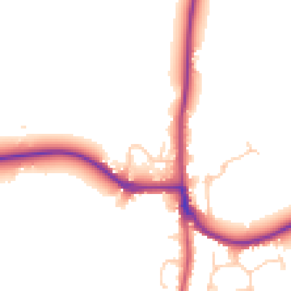
Daytime· 07:00 – 23:00
49.6dB
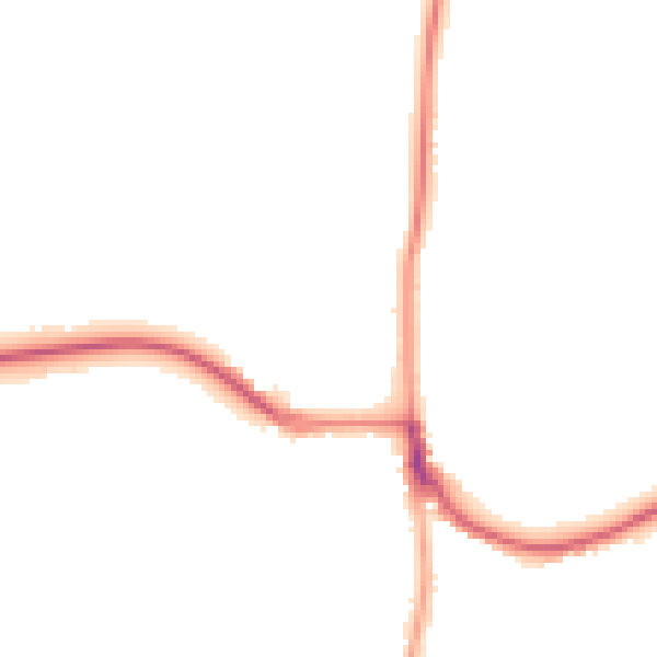
Night-time· 23:00 – 07:00
43.4dB