12 Broadwood Close, Horsham, RH12 4JX
About 12 Broadwood Close
12 Broadwood Close is a three-bedroom semi-detached house in Horsham (RH12 4JX). It has a recorded floor area of 98 m² (around 1055 sq ft), construction records dating it to 1967-1975 and council tax band D. The latest certificate (April 2013) shows a D (score 59), a step below the typical UK home. The recommended improvements would push it to C (score 79). The latest certificate is from April 2013, so improvements made since then won't be reflected.
Today's modelled estimate of £440,000 is 16.6% above the 2016 sale price. On a £-per-square-foot basis, the last sale (£358/sq ft) was about 53.7% above the typical sold price in the postcode. On the market in December 2016 and unlisted since — roughly 9 years.
What this property has
Inside
- Bedrooms3
- Dining roomYes
Outside
- GarageYes
Everything you need to know about 12 Broadwood Close
The true value, the hidden risks and the full sale history, in one report.
Pick your report · every report is £14.99
One time fee only - money back guarantee

The data behind every report


Energy performance
12 Broadwood Close's EPC is over a decade old — improvements since won't be reflected.
EPC Expired
This certificate is over 10 years old and is no longer valid.Expired 10 Apr 2023
EPC Rating
Get a survey for this property
Level 2 HomeBuyer Report
We've checked 10 risk factors against the available data for this property and believe a Level 2 HomeBuyer Report could be a suitable option for you.
From £695 · Includes VAT
Planning history
12 Broadwood Close has no planning applications on record.
But the area is active
6 notable applications nearby — larger schemes and conversions that could reshape the street. The report maps them all.
Sales history & valuation
12 Broadwood Close valuation sits well clear of the typical sold price in this postcode.
£440,000
Modelled from EPC, postcode comparables.
£377,500
Recorded with HM Land Registry.
Sales timeline
16 December 2016Most recent
£377,500
Median price across the last 5 sales in RH12 4JX: £320,000 (2024–2012).
Nearby sales in RH12 4JX
Versus other Broadwood Close homes
12 Broadwood Close is notably below the street on epc rating.
Price per m²
£3,852
Street avg £3,667
Floor Area
98 m²
Street avg 103 m²
Habitable Rooms
6 rooms
Street avg 5 rooms
CO₂ Emissions
4.6 t/year
Street avg 3.4 t/year
Everything you need to know about 12 Broadwood Close
The true value, the hidden risks and the full sale history, in one report.
Pick your report · every report is £14.99
One time fee only - money back guarantee
The data behind every report
Similar properties nearby
1 Ashurst Close
RH12 4JN
1 Bostock Avenue
RH12 4EY
1 Ash Cottages, East Street, Rusper
RH12 4RB
1 Church Cottages, High Street, Rusper
RH12 4PX
1 Brockwell Cottage, Faygate Lane, Faygate
RH12 4SH
1 Birch Court, Faygate
RH12 4AE
1 Bramber Close
RH12 4LY
1 Cherry Tree Walk
RH12 4UJ
The neighbourhood at a glance
Rail-style transport is unusually close for this postcode.
Crime
2/mo
Steady year-on-year across the wider district.
Nearest stop
0.1 km
Farhalls Crescent — bus stop.
Closest school
0.4 km
Oakfields Primary School, Horsham. 16 schools nearby.
Go deeper on the local area
A Local Area report breaks down crime, transport links, schools and air quality in depth.
Road noise across the postcode
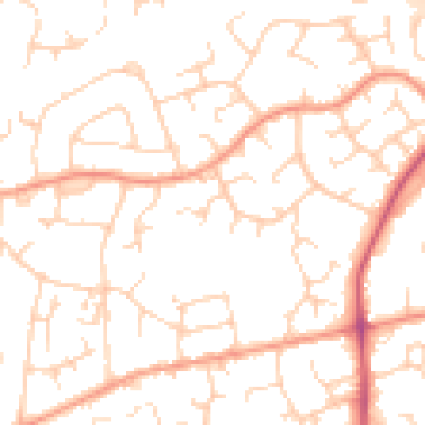
Daytime· 07:00 – 23:00
50.3dB

Night-time· 23:00 – 07:00
39.6dB