1 Ashurst Close, Horsham, RH12 4JN
About 1 Ashurst Close
1 Ashurst Close is a three-bedroom semi-detached house in Horsham (RH12 4JN). It has a recorded floor area of 73 m² (around 786 sq ft), construction records dating it to 1976-1982 and council tax band D. The latest certificate (June 2022) shows a D (score 68), on the cusp of jumping into the C band. The recommended improvements would lift it to B (score 84), a 2-band jump.
Today's modelled estimate of £430,000 is 10.3% above the 2022 sale price. On a £-per-square-foot basis, the last sale (£496/sq ft) was about 17.7% above the typical sold price in the postcode. Sold December 2022 for £390,000. That sale was during the post-pandemic price surge, when transactions cleared materially above pre-2020 trend.
What this property has
Inside
- Bedrooms3
- Bathrooms1
Outside
- Private gardenYes
- GarageDetached
Everything you need to know about 1 Ashurst Close
The true value, the hidden risks and the full sale history, in one report.
Pick your report · every report is £14.99
One time fee only - money back guarantee

The data behind every report


Energy performance
Recommended upgrades on file would lift this property by multiple EPC bands.
EPC Rating
Get a survey for this property
Level 2 HomeBuyer Report
We've checked 10 risk factors against the available data for this property and believe a Level 2 HomeBuyer Report could be a suitable option for you.
From £695 · Includes VAT
Planning history
1 Ashurst Close has no planning applications on record.
But the area is active
6 notable applications nearby — larger schemes and conversions that could reshape the street. The report maps them all.
Sales history & valuation
The latest sale landed in the post-pandemic price surge — useful context when reading the figure.
£430,000
Modelled from EPC, postcode comparables.
£390,000
Recorded with HM Land Registry.
Sales timeline
5 December 2022Most recent
£390,000
Median price across the last 5 sales in RH12 4JN: £400,000 (2024–2018).
Nearby sales in RH12 4JN
Versus other Ashurst Close homes
CO₂ Emissions for 1 Ashurst Close runs comfortably ahead of the street norm.
Price per m²
£5,342
Street avg £4,838
Floor Area
73 m²
Street avg 74 m²
Habitable Rooms
5 rooms
Street avg 4 rooms
CO₂ Emissions
2.6 t/year
Street avg 3.4 t/year
Everything you need to know about 1 Ashurst Close
The true value, the hidden risks and the full sale history, in one report.
Pick your report · every report is £14.99
One time fee only - money back guarantee
The data behind every report
Similar properties nearby
1 Bostock Avenue
RH12 4EY
1 Ash Cottages, East Street, Rusper
RH12 4RB
1 Church Cottages, High Street, Rusper
RH12 4PX
1 Brockwell Cottage, Faygate Lane, Faygate
RH12 4SH
1 Birch Court, Faygate
RH12 4AE
1 Bramber Close
RH12 4LY
1 Cherry Tree Walk
RH12 4UJ
1 Beech Road
RH12 4NR
The neighbourhood at a glance
Rail-style transport is unusually close for this postcode.
Crime
2/mo
Steady year-on-year across the wider district.
Nearest stop
0.2 km
Greenfields Way — bus stop.
Closest school
0.3 km
St Robert Southwell Catholic Primary School, Horsham. 15 schools nearby.
Go deeper on the local area
A Local Area report breaks down crime, transport links, schools and air quality in depth.
Road noise across the postcode
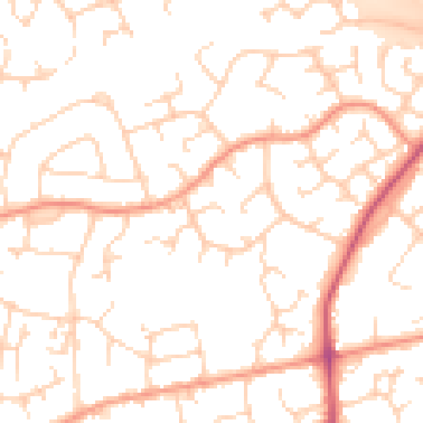
Daytime· 07:00 – 23:00
50.7dB

Night-time· 23:00 – 07:00
40.1dB