10 Edwards Close, Broadbridge Heath, Horsham, RH12 3PL
About 10 Edwards Close
10 Edwards Close is a semi-detached house in Broadbridge Heath, Horsham, Horsham (RH12 3PL). It has a recorded floor area of 98 m² (around 1055 sq ft) and council tax band D. The latest certificate (December 2014) returns a high B (score 85), putting the home a stone's throw from an A rating. The recommended improvements would push it to A (score 106). The latest certificate is from December 2014, so improvements made since then won't be reflected.
11 years since the last transfer (March 2015). Today's modelled estimate of £432,000 is 21.7% above the 2015 sale price.
Everything you need to know about 10 Edwards Close
The true value, the hidden risks and the full sale history, in one report.
Pick your report · every report is £14.99
One time fee only - money back guarantee

The data behind every report


Energy performance
10 Edwards Close's carbon output is low for the local stock.
EPC Expired
This certificate is over 10 years old and is no longer valid.Expired 03 Dec 2024
EPC Rating
Get a survey for this property
Level 2 HomeBuyer Report
We've checked 10 risk factors against the available data for this property and believe a Level 2 HomeBuyer Report could be a suitable option for you.
From £695 · Includes VAT
Planning history
10 Edwards Close has no planning applications on record.
But the area is active
10 notable applications nearby — larger schemes and conversions that could reshape the street. The report maps them all.
Sales history & valuation
£432,000
Modelled from EPC, postcode comparables.
£355,000
Recorded with HM Land Registry.
Sales timeline
27 March 2015Most recent
£355,000
Median price across the last 5 sales in RH12 3PL: £465,000 (2025–2022).
Nearby sales in RH12 3PL
12 Edwards Close, Broadbridge Heath, Horsham, RH12 3PL
Sold Aug 2025
£470,00024 Edwards Close, Broadbridge Heath, Horsham, RH12 3PL
Sold Nov 2024
£450,00015 Edwards Close, Broadbridge Heath, Horsham, RH12 3PL
Sold Jun 2023
£560,0006 Edwards Close, Broadbridge Heath, Horsham, RH12 3PL
Sold Nov 2022
£455,00021 Edwards Close, Broadbridge Heath, Horsham, RH12 3PL
Sold Oct 2022
£465,000
Versus other Edwards Close homes
On years held, 10 Edwards Close stands well clear of the street.
Price per m²
£3,622
Street avg £3,797
Floor Area
98 m²
Street avg 102 m²
CO₂ Emissions
1.4 t/year
Street avg 1.2 t/year
Years Held
11 years
Street avg 8 years
Everything you need to know about 10 Edwards Close
The true value, the hidden risks and the full sale history, in one report.
Pick your report · every report is £14.99
One time fee only - money back guarantee
The data behind every report
Similar properties nearby
1 Brown Close, Broadbridge Heath
RH12 3UR
1 Adams Close, Broadbridge Heath
RH12 3UT
1 Billingshurst Road, Broadbridge Heath
RH12 3LB
1 Carter Drive, Broadbridge Heath
RH12 3GZ
1 Barnsfold Cottages, Barnsfold Lane, Rudgwick
RH12 3BN
1 Arundene Cottage, Loxwood Road, Rudgwick
RH12 3BT
1 Caffyn Place, Broadbridge Heath
RH12 3XH
1 Buck Way, Broadbridge Heath
RH12 3UH
The neighbourhood at a glance
Crime
2/mo
Steady year-on-year across the wider district.
Nearest stop
0.3 km
Newbridge Nurseries — bus stop.
Closest school
0.8 km
Shelley Primary School. 8 schools nearby.
Go deeper on the local area
A Local Area report breaks down crime, transport links, schools and air quality in depth.
Road noise across the postcode
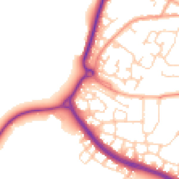
Daytime· 07:00 – 23:00
51.7dB

Night-time· 23:00 – 07:00
43.0dB