19 Harding Lane, Broadbridge Heath, Horsham, RH12 3GS
About 19 Harding Lane
19 Harding Lane is a four-bedroom end-of-terrace house in Broadbridge Heath, Horsham, Horsham (RH12 3GS). It has a recorded floor area of 140 m² (around 1507 sq ft), construction records dating it to 2012 onwards and council tax band E. The latest certificate (August 2024) shows a C (score 80), near the top of the C band. Earlier certificates rated it B (May 2014); the latest reading is one band lower. Between certificates, window efficiency dropped from Very Good to Good. The recommended improvements would push it to B (score 89). Other recorded features include a basement.
It changed hands recently, sold June 2025 for £495,000. It lags the bulk of the postcode on energy efficiency (less efficient than 72% of similar EPCs). Across 2014–2025, sale prices on this property compounded at 2.1% per year.
What this property has
Inside
- Bedrooms4
- Bathrooms3
- Open-plan layoutYes
- EnsuiteYes
- BasementYes
Outside
- Private gardenRear
- GarageDouble
Everything you need to know about 19 Harding Lane
The true value, the hidden risks and the full sale history, in one report.
Pick your report · every report is £14.99
One time fee only - money back guarantee

The data behind every report


Energy performance
EPC Rating
Get a survey for this property
Level 2 HomeBuyer Report
We've checked 10 risk factors against the available data for this property and believe a Level 2 HomeBuyer Report could be a suitable option for you.
From £795 · Includes VAT
Planning history
19 Harding Lane has no planning applications on record.
But the area is active
10 notable applications nearby — larger schemes and conversions that could reshape the street. The report maps them all.
Sales history & valuation
£502,000
Modelled from EPC, postcode comparables and a sale-price growth of 2.1% per year over 11 years.
£495,000
Growth on file: 2.1% per year over 11 years.
Sales timeline
23 June 2025Most recent
£495,000
+25.6%over 11 years17 June 2014
£394,000
Median price across the last 5 sales in RH12 3GS: £480,000 (2025–2022).
Nearby sales in RH12 3GS
14 Harding Lane, Broadbridge Heath, Horsham, RH12 3GS
Sold Apr 2025
£480,0006 Harding Lane, Broadbridge Heath, Horsham, RH12 3GS
Sold Dec 2024
£668,50018 Harding Lane, Broadbridge Heath, Horsham, RH12 3GS
Sold Sept 2024
£477,50020 Harding Lane, Broadbridge Heath, Horsham, RH12 3GS
Sold Jan 2023
£430,0007 Harding Lane, Broadbridge Heath, Horsham, RH12 3GS
Sold Jun 2022
£640,000
Versus other Harding Lane homes
On years held, 19 Harding Lane runs well behind the street norm.
Price per m²
£3,536
Street avg £3,649
Floor Area
140 m²
Street avg 121 m²
Habitable Rooms
5 rooms
Street avg 5 rooms
CO₂ Emissions
2.6 t/year
Street avg 1.9 t/year
Everything you need to know about 19 Harding Lane
The true value, the hidden risks and the full sale history, in one report.
Pick your report · every report is £14.99
One time fee only - money back guarantee
The data behind every report
Similar properties nearby
1 Buckhurst Cottages, Church Street, Rudgwick
RH12 3EZ
1 Chantler Lane, Broadbridge Heath
RH12 3TW
1 Bell Road, Warnham
RH12 3QJ
1 Benlands Cottages, Northlands Road, Warnham
RH12 3SQ
1 Buck Way, Broadbridge Heath
RH12 3UH
1 Arundene Cottage, Loxwood Road, Rudgwick
RH12 3BT
1 Brookhurst Field, Foxholes, Rudgwick
RH12 3DQ
1 Barley Mews, Rudgwick
RH12 3XL
The neighbourhood at a glance
Crime
2/mo
Steady year-on-year across the wider district.
Nearest stop
0.0 km
Harding Lane — bus stop.
Closest school
0.8 km
Shelley Primary School. 8 schools nearby.
Go deeper on the local area
A Local Area report breaks down crime, transport links, schools and air quality in depth.
Road noise across the postcode
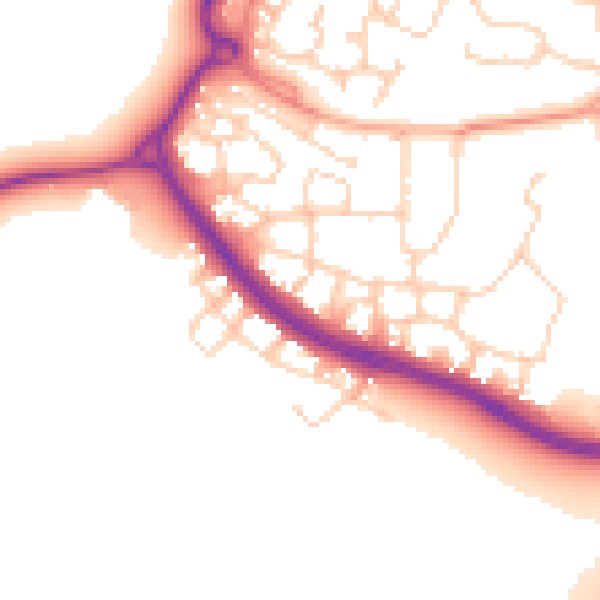
Daytime· 07:00 – 23:00
50.8dB

Night-time· 23:00 – 07:00
42.8dB