19 Stockton Road, Manchester, M21 9FB
About 19 Stockton Road
19 Stockton Road is a four-bedroom semi-detached house in Manchester (M21 9FB). It has a recorded floor area of 178 m² (around 1916 sq ft), construction records dating it to before 1900 and council tax band D. The latest certificate (February 2020) shows an E (score 39), well below the UK norm with real room to improve. The recommended improvements would lift it to C (score 75), a 2-band jump.
At 178 m² the property is well over the postcode median (49 m² across 35 EPCs), placing it in the larger end of the local stock. It lags the bulk of the postcode on energy efficiency (less efficient than 83% of similar EPCs). One planning record on file: an extension approved in 2021. Past consents include an extension and partial demolition, meaningful when judging how the property has evolved. Today's modelled estimate of £735,000 is 41.3% above the 2020 sale price. Most recent transfer: December 2020 at £520,000.
Know exactly what you're buying at 19 Stockton Road
Before you offer, see what the listing won't tell you, the true value, the red flags and the full history.
Already flagged here
Valuation
against the asking price
Risks
planning & flood
Sold prices
similar homes nearby
Trends
the local market
What this property has
Inside
- Bedrooms4
- Bathrooms2
Energy performance
19 Stockton Road's carbon output runs well above what efficient homes in the postcode produce.
EPC Rating
Planning history
Planning history includes recorded demolition works, indicating a major rebuild phase at this address.
- Nov 2021DemolitionFullIn report
Partial demolition of rear garage together with re-roofing and creation of external decking area to number 19 Stockton Road with associated elevational alterations
Extension- Documents
- 6 docs on file
- Reference
- 131153/FO/2021
We flagged 1 thing worth checking at 19 Stockton Road
Independent checks surfaced things a buyer would want to understand before offering. The report explains each one in full, with the underlying data and what to ask.
- Larger development activity nearby
30-day money-back guarantee
Sales history & valuation
The latest sale landed in the post-pandemic price surge — useful context when reading the figure.
£735,000
Modelled from EPC, postcode comparables.
£520,000
Recorded with HM Land Registry.
Sales timeline
4 December 2020Most recent
£520,000
Median price across the last 5 sales in M21 9FB: £680,000 (2023–2018).
Nearby sales in M21 9FB
Everything we know about 19 Stockton Road, in one report
What it's really worth, what could be wrong, and the planning, sales and area data in full.
What we flagged
- Larger development activity nearby

Versus other Stockton Road homes
19 Stockton Road is notably below the street on epc rating.
Price per m²
£2,921
Street avg £3,535
Floor Area
178 m²
Street avg 179 m²
Habitable Rooms
7 rooms
Street avg 7 rooms
CO₂ Emissions
11.0 t/year
Street avg 4.7 t/year
Similar properties nearby
The neighbourhood at a glance
Rail-style transport is unusually close for this postcode.
Nearest stop
0.2 km
Chorlton Green — bus stop.
Closest school
0.2 km
Chorlton CofE Primary School. 40 schools nearby.
Go deeper on the local area
The full report breaks down crime, transport links, schools and air quality in depth.
Road noise across the postcode
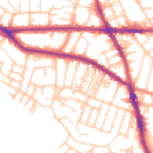
Daytime· 07:00 – 23:00
54.7dB

Night-time· 23:00 – 07:00
44.9dB