8 Beechwood Avenue, Manchester, M21 8UA
About 8 Beechwood Avenue
8 Beechwood Avenue is a mid-terrace house in Manchester (M21 8UA). It has a recorded floor area of 78 m² (around 844 sq ft), construction records dating it to before 1900 and council tax band C. The latest certificate (May 2010) shows an E (score 42), well below the UK norm with real room to improve. The recommended improvements would push it to D (score 59). The latest certificate is from May 2010, so improvements made since then won't be reflected.
Across 1996–2013, sale prices on this property compounded at 8.9% per year. Today's modelled estimate of £414,000 sits 59.2% above the 2013 sale of £260,000. On a £-per-square-foot basis, the last sale (£308/sq ft) was about 57.4% above the typical sold price in the postcode. Last changed hands 12 years ago, in December 2013. Across the public record there are 4 sales, relatively high churn for a single property. At 78 m² it's 21.6% smaller than the typical home in the postcode (100 m² median across 21 EPCs). It lags the bulk of the postcode on energy efficiency (less efficient than 71% of similar EPCs).
Know exactly what you're buying at 8 Beechwood Avenue
Before you offer, see what the listing won't tell you, the true value, the red flags and the full history.
Already flagged here
Valuation
against the asking price
Risks
planning & flood
Sold prices
similar homes nearby
Trends
the local market
Energy performance
8 Beechwood Avenue's carbon output runs well above what efficient homes in the postcode produce.
EPC Expired
This certificate is over 10 years old and is no longer valid.Expired 20 May 2020
EPC Rating
Planning history
8 Beechwood Avenue has no planning applications on record.
Notable planning nearby
3applications of note in the surrounding area
We flagged 1 thing worth checking at 8 Beechwood Avenue
Independent checks surfaced things a buyer would want to understand before offering. The report explains each one in full, with the underlying data and what to ask.
- Larger development activity nearby
30-day money-back guarantee
Sales history & valuation
Price for 8 Beechwood Avenue has grown more than fourfold since the 1996 starting point.
£414,000
Modelled from EPC, postcode comparables and a sale-price growth of 8.9% per year over 17 years.
£260,000
Growth on file: 8.9% per year over 17 years.
Sales timeline
10 December 2013Most recent
£260,000
+15.6%over 3 years12 November 2010
£225,000
+73.1%over 8 years5 November 2002
£129,950
+116.8%over 6 years19 September 1996
£59,950
Median price across the last 5 sales in M21 8UA: £446,000 (2025–2020).
Nearby sales in M21 8UA
12 Beechwood Avenue, Manchester, M21 8UA
Sold Jul 2025
£480,00013 Beechwood Avenue, Manchester, M21 8UA
Sold Aug 2024
£530,0009 Beechwood Avenue, Manchester, M21 8UA
Sold Jul 2023
£425,0003 Beechwood Avenue, Manchester, M21 8UA
Sold Nov 2022
£446,0002 Beechwood Avenue, Manchester, M21 8UA
Sold Nov 2020
£405,000
Everything we know about 8 Beechwood Avenue, in one report
What it's really worth, what could be wrong, and the planning, sales and area data in full.
What we flagged
- Larger development activity nearby

Versus other Beechwood Avenue homes
Habitable Rooms for 8 Beechwood Avenue lags the street by a wide margin.
Price per m²
£3,318
Street avg £3,257
Floor Area
78 m²
Street avg 102 m²
Habitable Rooms
3 rooms
Street avg 5 rooms
CO₂ Emissions
6.4 t/year
Street avg 5.0 t/year
Similar properties nearby
1 Harkerside Close
M21 8XQ
1 Brownhills Court, Sandy Lane
M21 8TE
1 Brookfield Avenue
M21 8TX
1 Fairhaven Avenue
M21 8TW
1 Beechwood Avenue
M21 8UA
1 Cundiff Road
M21 8FS
1 Lytham Avenue
M21 8TF
1 Limley Grove
M21 8UB
The neighbourhood at a glance
Rail-style transport is unusually close for this postcode.
Nearest stop
0.2 km
Nell Lane — bus stop.
Closest school
0.3 km
Chorlton High School. 42 schools nearby.
Go deeper on the local area
The full report breaks down crime, transport links, schools and air quality in depth.
Road noise across the postcode
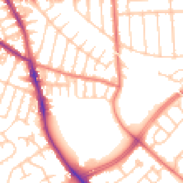
Daytime· 07:00 – 23:00
53.2dB

Night-time· 23:00 – 07:00
42.9dB