12 Groby Road, Manchester, M21 8AF
About 12 Groby Road
12 Groby Road is a semi-detached house in Manchester (M21 8AF). It has a recorded floor area of 124 m² (around 1335 sq ft), construction records dating it to before 1900 and council tax band D. The latest certificate (May 2013) shows an E (score 50), well below the UK norm with real room to improve. The recommended improvements would lift it to C (score 74), a 2-band jump. The latest certificate is from May 2013, so improvements made since then won't be reflected.
Today's modelled estimate of £609,000 sits 62.4% above the 2013 sale of £375,000. On a £-per-square-foot basis, the last sale (£281/sq ft) was about 26.5% above the typical sold price in the postcode. One planning record on file: an extension approved in 2014. Past consents include an extension, meaningful when judging how the property has evolved. Last sold in October 2013, so it's been off the market for around 13 years. At 124 m² it's 23.7% smaller than the typical home in the postcode (163 m² median across 8 EPCs).
Know exactly what you're buying at 12 Groby Road
Before you offer, see what the listing won't tell you, the true value, the red flags and the full history.
Already flagged here
Valuation
against the asking price
Risks
planning & flood
Sold prices
similar homes nearby
Trends
the local market
Energy performance
12 Groby Road's carbon output runs well above what efficient homes in the postcode produce.
EPC Expired
This certificate is over 10 years old and is no longer valid.Expired 09 May 2023
EPC Rating
Planning history
12 Groby Road has an approved single-storey rear extension on the planning record.
- Mar 2014ExtensionFullIn report
Extension: Single storey · Rear of property
Erection of single-storey rear extension to form additional living accommodation
- Agent
- KBR Building Consultancy
- Documents
- 4 docs on file
- Reference
- 104924/FH/2014/S1
We flagged 1 thing worth checking at 12 Groby Road
Independent checks surfaced things a buyer would want to understand before offering. The report explains each one in full, with the underlying data and what to ask.
- Larger development activity nearby
30-day money-back guarantee
Sales history & valuation
12 Groby Road valuation sits well clear of the typical sold price in this postcode.
£609,000
Modelled from EPC, postcode comparables.
£375,000
Recorded with HM Land Registry.
Sales timeline
22 October 2013Most recent
£375,000
Median price across the last 5 sales in M21 8AF: £557,500 (2023–2017).
Everything we know about 12 Groby Road, in one report
What it's really worth, what could be wrong, and the planning, sales and area data in full.
What we flagged
- Larger development activity nearby

Versus other Groby Road homes
12 Groby Road is notably below the street on floor area.
Price per m²
£3,024
Street avg £3,376
Floor Area
124 m²
Street avg 158 m²
Habitable Rooms
7 rooms
Street avg 7 rooms
CO₂ Emissions
6.2 t/year
Street avg 7.9 t/year
Similar properties nearby
The neighbourhood at a glance
Rail-style transport is unusually close for this postcode.
Nearest stop
0.1 km
Groby Road — bus stop.
Closest school
0.4 km
Chorlton CofE Primary School. 40 schools nearby.
Go deeper on the local area
The full report breaks down crime, transport links, schools and air quality in depth.
Road noise across the postcode
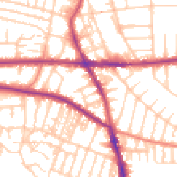
Daytime· 07:00 – 23:00
54.1dB

Night-time· 23:00 – 07:00
43.7dB