29 Highfields, Nettleham, Lincoln, LN2 2ST
About 29 Highfields
29 Highfields is a four-bedroom detached house in Nettleham, Lincoln, Lincoln (LN2 2ST). It has a recorded floor area of 90 m² (around 971 sq ft), construction records dating it to 1967-1975 and council tax band C. The latest certificate (July 2009) shows an E (score 50), well below the UK norm with real room to improve. The recommended improvements would lift it to C (score 71), a 2-band jump. The latest certificate is from July 2009, so improvements made since then won't be reflected. The home occupies a cul-de-sac position.
On energy efficiency it sits in the bottom 10% of properties in this postcode — significant headroom for improvement. Last changed hands 9 years ago, in July 2017. Across 2004–2017, sale prices on this property compounded at 2.1% per year. Today's modelled estimate of £277,000 is 31.9% above the 2017 sale price.
What this property has
Inside
- Bedrooms4
- Bathrooms1
- Dining roomYes
Outside
- Private gardenYes
- GarageSingle
- Cul-de-sacYes
Everything you need to know about 29 Highfields
The true value, the hidden risks and the full sale history, in one report.
Pick your report · every report is £14.99
One time fee only - money back guarantee

The data behind every report


Energy performance
29 Highfields sits at the bottom of the postcode for energy efficiency — meaningful headroom to improve.
EPC Expired
This certificate is over 10 years old and is no longer valid.Expired 06 Jul 2019
EPC Rating
Get a survey for this property
Level 2 HomeBuyer Report
We've checked 10 risk factors against the available data for this property and believe a Level 2 HomeBuyer Report could be a suitable option for you.
From £545 · Includes VAT
Planning history
29 Highfields has no planning applications on record.
But the area is active
3 notable applications nearby — larger schemes and conversions that could reshape the street. The report maps them all.
Sales history & valuation
29 Highfields valuation sits well clear of the typical sold price in this postcode.
£277,000
Modelled from EPC, postcode comparables and a sale-price growth of 2.1% per year over 13 years.
£210,000
Growth on file: 2.1% per year over 13 years.
Sales timeline
6 July 2017Most recent
£210,000
+23.5%over 7 years28 September 2009
£170,000
+6.3%over 5 years16 April 2004
£160,000
Median price across the last 5 sales in LN2 2ST: £294,950 (2024–2021).
Nearby sales in LN2 2ST
25 Highfields, Nettleham, Lincoln, LN2 2ST
Sold Feb 2024
£325,0003 Highfields, Nettleham, Lincoln, LN2 2ST
Sold Dec 2022
£299,9506 Highfields, Nettleham, Lincoln, LN2 2ST
Sold Oct 2022
£294,9505 Highfields, Nettleham, Lincoln, LN2 2ST
Sold Sept 2022
£290,00019 Highfields, Nettleham, Lincoln, LN2 2ST
Sold Jan 2020
£190,000
Versus other Highfields homes
29 Highfields is notably below the street on epc rating.
Price per m²
£2,328
Street avg £2,937
Floor Area
90 m²
Street avg 92 m²
Habitable Rooms
5 rooms
Street avg 5 rooms
CO₂ Emissions
5.9 t/year
Street avg 4.1 t/year
Everything you need to know about 29 Highfields
The true value, the hidden risks and the full sale history, in one report.
Pick your report · every report is £14.99
One time fee only - money back guarantee
The data behind every report
Similar properties nearby
1 Broad Dale Close, Sudbrooke
LN2 2FD
1 Beresford Drive, Sudbrooke
LN2 2YH
1 Ambrose Court, Nettleham
LN2 2EJ
1 Beech Close, Sudbrooke
LN2 2QW
1 Brattleby Crescent
LN2 2EB
1 Baker Drive, Nettleham
LN2 2FR
1 Aima Court, Nettleham
LN2 2XW
1 Burwell Close
LN2 2JB
The neighbourhood at a glance
Daytime road noise here sits well below conversation level — a quiet pocket of the postcode.
Crime
3/mo
Steady year-on-year across the wider district.
Nearest stop
0.1 km
Kerrison View — bus stop.
Closest school
0.6 km
The Nettleham Church of England Voluntary Aided Junior School. 3 schools nearby.
Go deeper on the local area
A Local Area report breaks down crime, transport links, schools and air quality in depth.
Road noise across the postcode
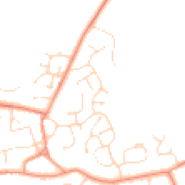
Daytime· 07:00 – 23:00
46.3dB

Night-time· 23:00 – 07:00
37.5dB