8 St Edwards Drive, Sudbrooke, Lincoln, LN2 2QR
About 8 St Edwards Drive
8 St Edwards Drive is a three-bedroom detached house in Sudbrooke, Lincoln, Lincoln (LN2 2QR). It has a recorded floor area of 101 m² (around 1087 sq ft), construction records dating it to 1967-1975 and council tax band D. The latest certificate (July 2018) shows an F (score 22), near the bottom of the EPC scale. The recommended improvements would lift it to C (score 73), a 3-band jump. Main heating runs on electricity. Other recorded features include a conservatory. Our model identifies extension potential, subject to local planning policy.
At 101 m² it's 16.5% smaller than the typical home in the postcode (121 m² median across 33 EPCs). On energy efficiency it sits in the bottom 10% of properties in this postcode — significant headroom for improvement. One planning record on file: an extension approved in 2024. Past consents include an extension, meaningful when judging how the property has evolved. Today's modelled estimate of £330,000 is 34.7% above the 2018 sale price. On a £-per-square-foot basis, the last sale (£225/sq ft) was about 20.8% above the typical sold price in the postcode. Last sale on file: £245,000 in November 2018.
What this property has
Inside
- Bedrooms3
- Bathrooms2
- ConservatoryYes
Outside
- Private gardenRear
Building
- Central heatingYes
- Extension potentialPossible
Everything you need to know about 8 St Edwards Drive
The true value, the hidden risks and the full sale history, in one report.
Pick your report · every report is £14.99
One time fee only - money back guarantee

The data behind every report


Energy performance
8 St Edwards Drive sits at the bottom of the postcode for energy efficiency — meaningful headroom to improve.
EPC Rating
Get a survey for this property
Level 2 HomeBuyer Report
We've checked 10 risk factors against the available data for this property and believe a Level 2 HomeBuyer Report could be a suitable option for you.
From £595 · Includes VAT
Planning history
8 St Edwards Drive has an approved single-storey rear extension on the planning record.
1 application on record at 8 St Edwards Drive, Sudbrooke, Lincoln, LN2 2QR
- Feb 2024ExtensionFullOutcome in report
Extension: Single storey · Rear of property
Planning application for a replacement single storey rear extension.
- Reference
- 147772
Unlock 8 St Edwards Drive, Sudbrooke, Lincoln, LN2 2QR's full planning history
You're seeing the shape of it. The report has the substance.
- Every decision — granted, refused or withdrawn (1 on record)
- All 1 application on this property in full, plus 3 notable nearby
- What the pattern means for extending or converting here
One time fee only - money back guarantee
Sales history & valuation
8 St Edwards Drive valuation sits well clear of the typical sold price in this postcode.
£330,000
Modelled from EPC, postcode comparables.
£245,000
Recorded with HM Land Registry.
Sales timeline
30 November 2018Most recent
£245,000
Median price across the last 5 sales in LN2 2QR: £360,000 (2024–2022).
Nearby sales in LN2 2QR
52 St Edwards Drive, Sudbrooke, Lincoln, LN2 2QR
Sold Aug 2024
£435,00023 St Edwards Drive, Sudbrooke, Lincoln, LN2 2QR
Sold May 2024
£350,00011 St Edwards Drive, Sudbrooke, Lincoln, LN2 2QR
Sold Feb 2024
£270,00046 St Edwards Drive, Sudbrooke, Lincoln, LN2 2QR
Sold Dec 2022
£360,00033 St Edwards Drive, Sudbrooke, Lincoln, LN2 2QR
Sold Aug 2022
£360,000
Versus other St Edwards Drive homes
On epc rating, 8 St Edwards Drive runs well behind the street norm.
Price per m²
£2,426
Street avg £2,243
Floor Area
101 m²
Street avg 125 m²
Habitable Rooms
4 rooms
Street avg 6 rooms
CO₂ Emissions
15.0 t/year
Street avg 5.4 t/year
Everything you need to know about 8 St Edwards Drive
The true value, the hidden risks and the full sale history, in one report.
Pick your report · every report is £14.99
One time fee only - money back guarantee
The data behind every report
Similar properties nearby
1 Beech Close, Sudbrooke
LN2 2QW
1 Ambrose Court, Nettleham
LN2 2EJ
1 Brattleby Crescent
LN2 2EB
1 Broad Dale Close, Sudbrooke
LN2 2FD
1 Beresford Drive, Sudbrooke
LN2 2YH
1 Baker Drive, Nettleham
LN2 2FR
1 Aima Court, Nettleham
LN2 2XW
1 Burwell Close
LN2 2JB
The neighbourhood at a glance
Crime
3/mo
Steady year-on-year across the wider district.
Nearest stop
0.2 km
Windsor Close — bus stop.
Closest school
1.7 km
Ellison Boulters Church of England Primary School. 4 schools nearby.
Go deeper on the local area
A Local Area report breaks down crime, transport links, schools and air quality in depth.
Road noise across the postcode
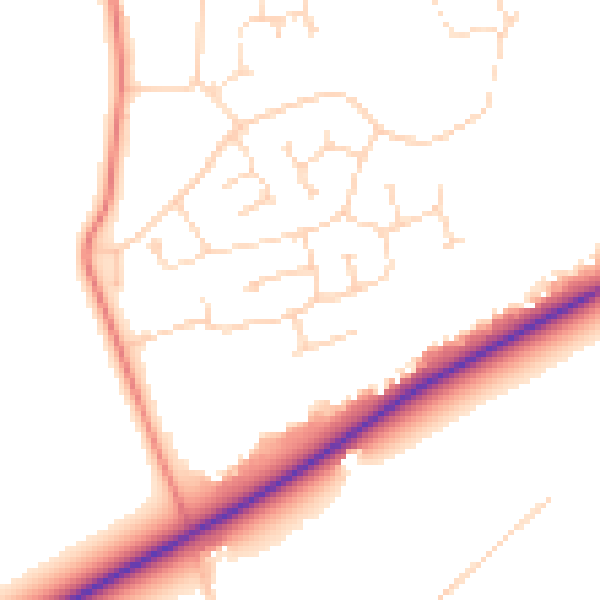
Daytime· 07:00 – 23:00
50.6dB

Night-time· 23:00 – 07:00
40.7dB