46 St Edwards Drive, Sudbrooke, Lincoln, LN2 2QR
About 46 St Edwards Drive
46 St Edwards Drive is a four-bedroom detached house in Sudbrooke, Lincoln, Lincoln (LN2 2QR). It has a recorded floor area of 140 m² (around 1507 sq ft), construction records dating it to 1967-1975 and council tax band D. Tenure is freehold. The latest certificate (April 2022) shows a D (score 60), on the cusp of jumping into the C band. The recommended improvements would push it to C (score 75). Other recorded features include a conservatory and attached land beyond the plot.
At 140 m² it's 21.7% larger than the typical home in the postcode (115 m² median across 33 EPCs). Across 2006–2022, sale prices on this property compounded at 2.8% per year. On a £-per-square-foot basis, the last sale (£239/sq ft) was about 27.2% above the typical sold price in the postcode. Last sale on file: £360,000 in December 2022. That sale was during the post-pandemic price surge, when transactions cleared materially above pre-2020 trend.
What this property has
Inside
- Bedrooms4
- Bathrooms2
- Dining roomYes
- ConservatoryYes
Outside
- GarageIntegral
- LandYes
Building
- TenureFreehold
- Heating systemGas
Everything you need to know about 46 St Edwards Drive
The true value, the hidden risks and the full sale history, in one report.
Pick your report · every report is £14.99
One time fee only - money back guarantee

The data behind every report


Energy performance
46 St Edwards Drive's carbon output runs well above what efficient homes in the postcode produce.
EPC Rating
Get a survey for this property
Level 3 Building Survey
Because the property has been extended more than once, we believe a Level 3 building survey should be considered.
From £955 · Includes VAT
Planning history
46 St Edwards Drive has no planning applications on record.
But the area is active
3 notable applications nearby — larger schemes and conversions that could reshape the street. The report maps them all.
Sales history & valuation
The latest sale landed in the post-pandemic price surge — useful context when reading the figure.
£374,000
Modelled from EPC, postcode comparables and a sale-price growth of 2.8% per year over 16 years.
£360,000
Growth on file: 2.8% per year over 16 years.
Sales timeline
5 December 2022Most recent
£360,000
+56.5%over 16 years6 July 2006
£230,000
Median price across the last 5 sales in LN2 2QR: £360,000 (2024–2022).
Nearby sales in LN2 2QR
52 St Edwards Drive, Sudbrooke, Lincoln, LN2 2QR
Sold Aug 2024
£435,00023 St Edwards Drive, Sudbrooke, Lincoln, LN2 2QR
Sold May 2024
£350,00011 St Edwards Drive, Sudbrooke, Lincoln, LN2 2QR
Sold Feb 2024
£270,00033 St Edwards Drive, Sudbrooke, Lincoln, LN2 2QR
Sold Aug 2022
£360,00054 St Edwards Drive, Sudbrooke, Lincoln, LN2 2QR
Sold Jul 2022
£445,000
Versus other St Edwards Drive homes
46 St Edwards Drive is notably below the street on years held.
Price per m²
£2,571
Street avg £2,238
Floor Area
140 m²
Street avg 124 m²
Habitable Rooms
5 rooms
Street avg 5 rooms
CO₂ Emissions
6.7 t/year
Street avg 5.6 t/year
Everything you need to know about 46 St Edwards Drive
The true value, the hidden risks and the full sale history, in one report.
Pick your report · every report is £14.99
One time fee only - money back guarantee
The data behind every report
Similar properties nearby
1 Broad Dale Close, Sudbrooke
LN2 2FD
1 Beresford Drive, Sudbrooke
LN2 2YH
1 Beech Close, Sudbrooke
LN2 2QW
1 Ambrose Court, Nettleham
LN2 2EJ
1 Brattleby Crescent
LN2 2EB
1 Blossoms Ranch, Grange De Lings
LN2 2LY
1 Baker Drive, Nettleham
LN2 2FR
1 Abbots Way, Scothern
LN2 2FA
The neighbourhood at a glance
Crime
3/mo
Steady year-on-year across the wider district.
Nearest stop
0.2 km
Windsor Close — bus stop.
Closest school
1.7 km
Ellison Boulters Church of England Primary School. 4 schools nearby.
Go deeper on the local area
A Local Area report breaks down crime, transport links, schools and air quality in depth.
Road noise across the postcode
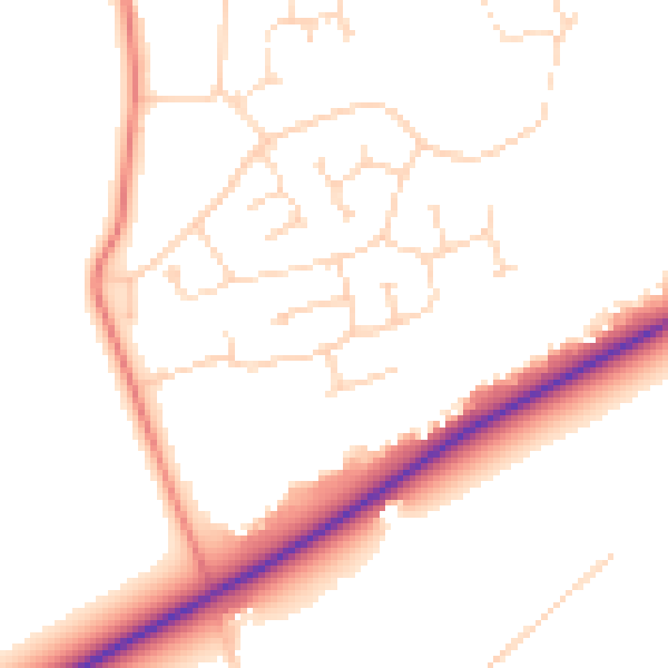
Daytime· 07:00 – 23:00
50.6dB

Night-time· 23:00 – 07:00
40.7dB