10 Balfour Avenue, Woking, GU22 9NJ
About 10 Balfour Avenue
10 Balfour Avenue is a three-bedroom semi-detached house in Woking (GU22 9NJ). It has a recorded floor area of 86 m² (around 926 sq ft), construction records dating it to 1930-1949 and council tax band C. The latest certificate (March 2011) shows a D (score 64), on the cusp of jumping into the C band. The recommended improvements would push it to C (score 70). The latest certificate is from March 2011, so improvements made since then won't be reflected.
10 years since the last transfer (July 2016). Across the public record there are 5 sales, relatively high churn for a single property. One planning record on file: an extension approved in 2005. Past consents include an extension, meaningful when judging how the property has evolved. At 86 m² it's 19.5% larger than the typical home in the postcode (72 m² median across 12 EPCs). Across 1997–2016, sale prices on this property compounded at 7.3% per year. Today's modelled estimate of £465,000 is 29.2% above the 2016 sale price. On a £-per-square-foot basis, the last sale (£389/sq ft) was about 22.7% above the typical sold price in the postcode.
What this property has
Inside
- Bedrooms3
- CloakroomYes
Outside
- GarageYes
Everything you need to know about 10 Balfour Avenue
The true value, the hidden risks and the full sale history, in one report.
Pick your report · every report is £14.99
One time fee only - money back guarantee

The data behind every report


Energy performance
10 Balfour Avenue's EPC is over a decade old — improvements since won't be reflected.
EPC Expired
This certificate is over 10 years old and is no longer valid.Expired 26 Mar 2021
EPC Rating
Get a survey for this property
Level 2 HomeBuyer Report
We've checked 10 risk factors against the available data for this property and believe a Level 2 HomeBuyer Report could be a suitable option for you.
From £695 · Includes VAT
Planning history
10 Balfour Avenue has an approved extension on the planning record.
1 application on record at 10 Balfour Avenue, Woking, GU22 9NJ
- May 2005ExtensionFullOutcome in report
Erection of pitched roof and roof lights on existing sun lounge and increase in depth by 1m.
- Council
- Not Available, if this is a comment please see the Documents Tab
- Documents
- 12 docs on file
- Reference
- PLAN/2005/0382
Unlock 10 Balfour Avenue, Woking, GU22 9NJ's full planning history
You're seeing the shape of it. The report has the substance.
- Every decision — granted, refused or withdrawn (1 on record)
- All 1 application on this property in full, plus 1 notable nearby
- The 12 documents, officer reports & conditions
- What the pattern means for extending or converting here
One time fee only - money back guarantee
Sales history & valuation
Sale price has grown by over 3x since 1997.
£465,000
Modelled from EPC, postcode comparables and a sale-price growth of 7.3% per year over 19 years.
£360,000
Growth on file: 7.3% per year over 19 years.
Sales timeline
31 July 2016Most recent
£360,000
+53.2%over 5 years23 June 2011
£235,000
+38.3%over 8 years3 September 2002
£169,950
+22.3%over 2 years13 April 2000
£139,000
+46.4%over 2 years25 September 1997
£94,950
Median price across the last 5 sales in GU22 9NJ: £335,000 (2023–2016).
Nearby sales in GU22 9NJ
Versus other Balfour Avenue homes
On floor area, 10 Balfour Avenue stands well clear of the street.
Price per m²
£4,184
Street avg £3,958
Floor Area
86 m²
Street avg 73 m²
Habitable Rooms
5 rooms
Street avg 5 rooms
CO₂ Emissions
3.3 t/year
Street avg 3.0 t/year
Everything you need to know about 10 Balfour Avenue
The true value, the hidden risks and the full sale history, in one report.
Pick your report · every report is £14.99
One time fee only - money back guarantee
The data behind every report
Similar properties nearby
1 Balfour Avenue
GU22 9NJ
1 Gloster Road
GU22 9EU
1 Gables Close, Kingfield
GU22 9EB
1 Crowder Cottages, Kingfield Road
GU22 9EQ
1 Bonsey Lane
GU22 9PT
1 Beaconsfield Road
GU22 9ED
1 Church Cottages, Church Street, Old Woking
GU22 9JF
1 Bonsey Close
GU22 9PS
The neighbourhood at a glance
Daytime road noise here sits well below conversation level — a quiet pocket of the postcode.
Crime
8/mo
Steady year-on-year across the wider district.
Nearest stop
0.2 km
Westfield Common — bus stop.
Closest school
0.6 km
Westfield Primary School. 11 schools nearby.
Go deeper on the local area
A Local Area report breaks down crime, transport links, schools and air quality in depth.
Road noise across the postcode
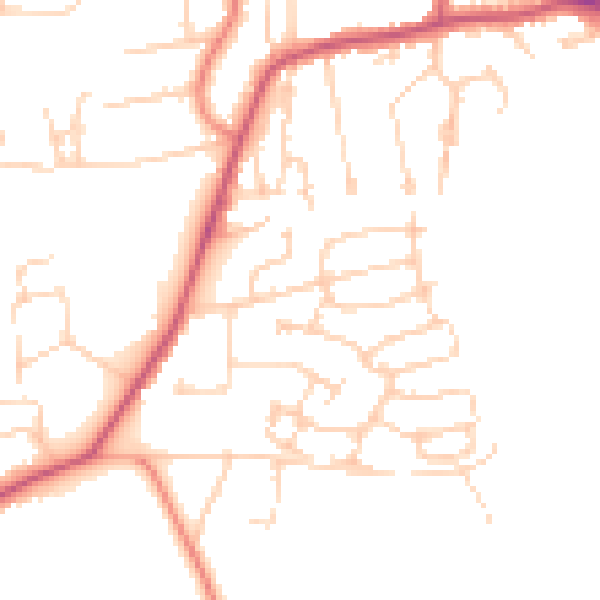
Daytime· 07:00 – 23:00
48.3dB

Night-time· 23:00 – 07:00
39.4dB