29 Cassiobury Road, Waltham Forest, London, E17 7JD
About 29 Cassiobury Road
29 Cassiobury Road is a four-bedroom end-of-terrace house in Waltham Forest, London, London (E17 7JD). It has a recorded floor area of 87 m² (around 936 sq ft), construction records dating it to 1900-1929 and council tax band C. The latest certificate (February 2021) shows a D (score 55), a step below the typical UK home. The recommended improvements would push it to C (score 80).
A recent sale: £1,007,500 in May 2025. 2 planning records sit against the property, 2 approved, 0 refused. Past consents include an extension and a loft conversion, meaningful when judging how the property has evolved. Across 2021–2025, sale prices on this property compounded at 12.8% per year. On a £-per-square-foot basis, the last sale (£1,076/sq ft) was about 281.5% above the typical sold price in the postcode.
Know exactly what you're buying at 29 Cassiobury Road
Before you offer, see what the listing won't tell you, the true value, the red flags and the full history.
Already flagged here
Valuation
against the asking price
Risks
planning & flood
Sold prices
similar homes nearby
Trends
the local market
What this property has
Inside
- Bedrooms4
- Bathrooms2
- EnsuiteYes
- StudyYes
Outside
- GarageYes
Building
- RefurbishedYes
Energy performance
EPC Rating
Planning history
- Sept 2021ExtensionFullIn report
Extension: Part single, part two storey · Side and rear of property
Construction of a two storey side extension at ground and first floor levels and single storey rear and side infill extension at ground floor level. Construction of refuse/recycling store and bicycle storey to front garden area.
- Documents
- 5 docs on file
- Reference
- 211878
- Aug 2021Loft ConversionOutlineIn report
Lawful Development Certificate (Proposed) - Construction of dormer roof extension to main rear roof and extension above two storey rear projection together with installation of two roof-lights to front roof.
Extension- Documents
- 5 docs on file
- Reference
- 211877
We flagged 3 things worth checking at 29 Cassiobury Road
Independent checks surfaced things a buyer would want to understand before offering. The report explains each one in full, with the underlying data and what to ask.
- Signs of HMO activity in the area
- Larger development activity nearby
- Environmental risk flagged
30-day money-back guarantee
Sales history & valuation
Latest sale on 29 Cassiobury Road was the highest on Land Registry record across the postcode.
£1,068,000
Modelled from EPC, postcode comparables and a sale-price growth of 12.8% per year over 4 years.
£1,007,500
Growth on file: 12.8% per year over 4 years.
Sales timeline
28 May 2025Most recent
£1,007,500
+64.6%over 4 years6 April 2021
£612,000
Median price across the last 5 sales in E17 7JD: £693,000 (2024–2017).
Nearby sales in E17 7JD
41 Cassiobury Road, Waltham Forest, London, E17 7JD
Sold Nov 2024
£632,50015 Cassiobury Road, Waltham Forest, London, E17 7JD
Sold May 2024
£693,00049 Cassiobury Road, Waltham Forest, London, E17 7JD
Sold Jul 2022
£870,00039 Cassiobury Road, Waltham Forest, London, E17 7JD
Sold Dec 2021
£765,00013 Cassiobury Road, Waltham Forest, London, E17 7JD
Sold Nov 2017
£495,000
Everything we know about 29 Cassiobury Road, in one report
What it's really worth, what could be wrong, and the planning, sales and area data in full.
What we flagged
- Signs of HMO activity in the area
- Larger development activity nearby
- Environmental risk flagged

Versus other Cassiobury Road homes
On price per m², 29 Cassiobury Road stands well clear of the street.
Price per m²
£11,580
Street avg £5,292
Floor Area
87 m²
Street avg 89 m²
Habitable Rooms
4 rooms
Street avg 5 rooms
CO₂ Emissions
4.6 t/year
Street avg 3.5 t/year
Similar properties nearby
1 Morland Road, Waltham Forest
E17 7JA
1 Maude Road, Waltham Forest
E17 7DF
1 Hazelwood Road, Waltham Forest
E17 7AJ
1 Arkley Road, Waltham Forest
E17 7PD
1 Cleveland Park Avenue, Waltham Forest
E17 7BP
1 Exeter Road, Waltham Forest
E17 7QJ
1 Manby Walk, Waltham Forest
E17 7FL
1 Bude Close, Waltham Forest
E17 7NY
The neighbourhood at a glance
Rail-style transport is unusually close for this postcode.
Crime
12/mo
Rising year-on-year across the wider district.
Nearest stop
0.3 km
Rensburg Road — bus stop.
Closest school
0.2 km
Coppermill Primary School. 75 schools nearby.
Go deeper on the local area
The full report breaks down crime, transport links, schools and air quality in depth.
Road noise across the postcode
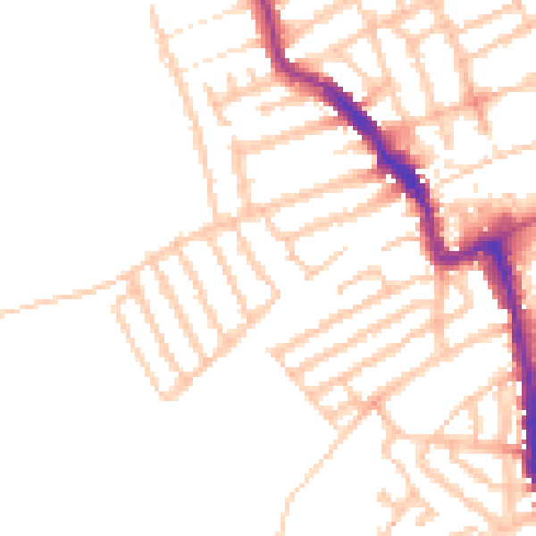
Daytime· 07:00 – 23:00
49.9dB

Night-time· 23:00 – 07:00
40.1dB