32 Fairlop Road, Waltham Forest, London, E11 1BN
About 32 Fairlop Road
32 Fairlop Road is a six-bedroom semi-detached house in Waltham Forest, London, London (E11 1BN). It has a recorded floor area of 255 m² (around 2745 sq ft), construction records dating it to 1930-1949 and council tax band F. The latest certificate (January 2023) shows a C (score 69), just inside the C band. When first surveyed in July 2012 the rating was D, the property has climbed 1 band since. Between certificates, roof efficiency went from Very Poor to Average, window efficiency went from Average to Good and lighting went from Good to Very Good; while wall efficiency dropped from Good to Very Poor. The recommended improvements would push it to B (score 83). Other recorded features include outbuildings.
Held since May 2002 — that's 24 years off the open market, well above the local norm. At 255 m² the property is well over the postcode median (79 m² across 18 EPCs), placing it in the larger end of the local stock. 6 bedrooms is on the larger side for this postcode, where 4 is the typical count. Today's modelled estimate of £1,154,000 sits 436.7% above the 2002 sale of £215,000. On a £-per-square-foot basis, the last sale (£78/sq ft) was about 68.2% below the postcode norm.
Know exactly what you're buying at 32 Fairlop Road
Before you offer, see what the listing won't tell you, the true value, the red flags and the full history.
Already flagged here
Valuation
against the asking price
Risks
planning & flood
Sold prices
similar homes nearby
Trends
the local market
What this property has
Inside
- Bedrooms6
- Bathrooms5
- EnsuiteYes
- FireplaceYes
Outside
- Private gardenYes
- ParkingOff street
- OutbuildingsYes
Energy performance
32 Fairlop Road's carbon output runs well above what efficient homes in the postcode produce.
EPC Rating
Property Improvements
Changes detected from historical EPC data
Heating controls upgraded for better temperature management
Window efficiency improved
Loft insulation upgraded to recommended levels
More low energy lighting installed
Planning history
32 Fairlop Road has no planning applications on record.
Notable planning nearby
14applications of note in the surrounding area
We flagged 2 things worth checking at 32 Fairlop Road
Independent checks surfaced things a buyer would want to understand before offering. The report explains each one in full, with the underlying data and what to ask.
- Signs of HMO activity in the area
- Larger development activity nearby
30-day money-back guarantee
Sales history & valuation
32 Fairlop Road's modelled value sits at over four times its earliest registered sale price (2002).
£1,154,000
Modelled from EPC, postcode comparables.
£215,000
Recorded with HM Land Registry.
Sales timeline
9 May 2002Most recent
£215,000
Median price across the last 5 sales in E11 1BN: £466,000 (2024–2019).
Nearby sales in E11 1BN
Flat 2, 36 Fairlop Road, London, E11 1BN
Sold Aug 2024
£537,00050 Fairlop Road, Waltham Forest, London, E11 1BN
Sold Jan 2022
£893,22530a, Fairlop Road, Waltham Forest, London, E11 1BN
Sold Mar 2021
£380,00036 Fairlop Road, Waltham Forest, London, E11 1BN
Sold Apr 2019
£34,750Flat 5, 36 Fairlop Road, London, E11 1BN
Sold Nov 2014
£249,995
Everything we know about 32 Fairlop Road, in one report
What it's really worth, what could be wrong, and the planning, sales and area data in full.
What we flagged
- Signs of HMO activity in the area
- Larger development activity nearby

Versus other Fairlop Road homes
32 Fairlop Road is notably below the street on price per m².
Price per m²
£843
Street avg £2,638
Floor Area
255 m²
Street avg 176 m²
Habitable Rooms
8 rooms
Street avg 7 rooms
CO₂ Emissions
7.3 t/year
Street avg 7.7 t/year
Similar properties nearby
1 Forest Drive East, Waltham Forest
E11 1JX
1 Ellesmere Close, Redbridge
E11 1PT
1 Ivy Cottage, The Forest, Waltham Forest
E11 1PJ
1 Deepdene Close, Redbridge
E11 1PG
1 Hollybush Close, Redbridge
E11 1PZ
1 Hawbridge Road, Waltham Forest
E11 1DH
1 Eagle Lane, Redbridge
E11 1PF
1 Clare Road, Waltham Forest
E11 1JU
The neighbourhood at a glance
Rail-style transport is unusually close for this postcode.
Crime
5/mo
Rising year-on-year across the wider district.
Nearest stop
0.0 km
Clarendon Road (E11) — bus stop.
Closest school
0.4 km
Gwyn Jones Primary School. 58 schools nearby.
Go deeper on the local area
The full report breaks down crime, transport links, schools and air quality in depth.
Road noise across the postcode
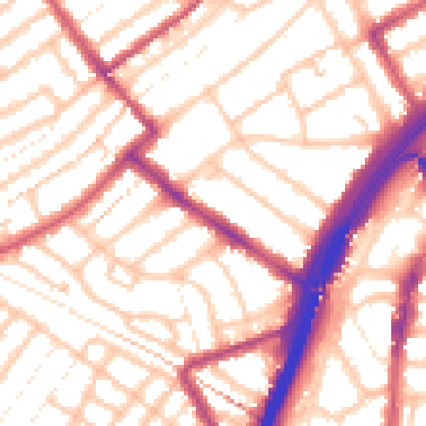
Daytime· 07:00 – 23:00
54.8dB

Night-time· 23:00 – 07:00
44.4dB