2a, Queens Road, Waltham Forest, London, E11 1BB
About 2a
2a is a three-bedroom end-of-terrace house in Waltham Forest, London, London (E11 1BB). It has a recorded floor area of 86 m² (around 926 sq ft), construction records dating it to 1950-1966 and council tax band C. The latest certificate (December 2018) shows a D (score 68), on the cusp of jumping into the C band. The rating has held steady at D across 2 certificates since March 2014. Between certificates, wall efficiency went from Poor to Average and roof efficiency went from Very Poor to Good. The recommended improvements would lift it to B (score 81), a 2-band jump.
One planning record on file: a garage conversion approved in 2004. Past consents include a garage conversion, meaningful when judging how the property has evolved. At 86 m² it's 19.4% larger than the typical home in the postcode (72 m² median across 41 EPCs). Across 1997–2024, sale prices on this property compounded at 8.1% per year. Today's modelled estimate of £690,000 is 10.4% above the 2024 sale price. On a £-per-square-foot basis, the last sale (£675/sq ft) was about 158.5% above the typical sold price in the postcode. Sold October 2024 for £625,000.
Know exactly what you're buying at 2a
Before you offer, see what the listing won't tell you, the true value, the red flags and the full history.
Already flagged here
Valuation
against the asking price
Risks
planning & flood
Sold prices
similar homes nearby
Trends
the local market
What this property has
Inside
- Bedrooms3
- Bathrooms2
Energy performance
Recommended upgrades on file would lift this property by multiple EPC bands.
EPC Rating
Property Improvements
Changes detected from historical EPC data
Heating controls upgraded for better temperature management
Cavity wall insulation installed
Roof insulation improved
Planning history
- Jun 2004Garage ConversionFullIn report
Conversion of garage into habitable room as shown on drawing number(s)2004/0691 received on 15/04/04.
- Council
- LEYTONSTONE
- Documents
- 1 doc on file
- Reference
- 040926
We flagged 2 things worth checking at 2a
Independent checks surfaced things a buyer would want to understand before offering. The report explains each one in full, with the underlying data and what to ask.
- Signs of HMO activity in the area
- Larger development activity nearby
30-day money-back guarantee
Sales history & valuation
2a has more than quadrupled in price since its earliest registered sale in 1997.
£690,000
Modelled from EPC, postcode comparables and a sale-price growth of 8.1% per year over 27 years.
£625,000
Growth on file: 8.1% per year over 27 years.
Sales timeline
17 October 2024Most recent
£625,000
+13.6%over 3 years20 June 2021
£550,000
+619.0%over 23 years14 September 1997
£76,500
Median price across the last 5 sales in E11 1BB: £770,000 (2025–2022).
Nearby sales in E11 1BB
48 Queens Road, Waltham Forest, London, E11 1BB
Sold Mar 2025
£10,00012 Queens Road, Waltham Forest, London, E11 1BB
Sold Oct 2024
£1,700,00074 Queens Road, Waltham Forest, London, E11 1BB
Sold Jan 2024
£900,000Flat B, 20 Queens Road, London, E11 1BB
Sold Dec 2022
£438,00078 Queens Road, Waltham Forest, London, E11 1BB
Sold Sept 2022
£770,000
Everything we know about 2a, in one report
What it's really worth, what could be wrong, and the planning, sales and area data in full.
What we flagged
- Signs of HMO activity in the area
- Larger development activity nearby

Versus other Queens Road homes
On co₂ emissions, 2a stands well clear of the street.
Price per m²
£7,267
Street avg £4,083
Floor Area
86 m²
Street avg 144 m²
Habitable Rooms
5 rooms
Street avg 6 rooms
CO₂ Emissions
2.8 t/year
Street avg 6.0 t/year
Similar properties nearby
1 Integer Gardens, Forest Road, Waltham Forest
E11 1LJ
1 Hawbridge Road, Waltham Forest
E11 1DH
1 Ivy Cottage, The Forest, Waltham Forest
E11 1PJ
1 Ellesmere Close, Redbridge
E11 1PT
1 Falcon Way, Redbridge
E11 1SX
1 Deepdene Close, Redbridge
E11 1PG
1 Hollybush Close, Redbridge
E11 1PZ
1 Forest Drive West, Waltham Forest
E11 1JZ
The neighbourhood at a glance
Rail-style transport is unusually close for this postcode.
Crime
5/mo
Rising year-on-year across the wider district.
Nearest stop
0.2 km
Clarendon Road (E11) — bus stop.
Closest school
0.4 km
Gwyn Jones Primary School. 57 schools nearby.
Go deeper on the local area
The full report breaks down crime, transport links, schools and air quality in depth.
Road noise across the postcode
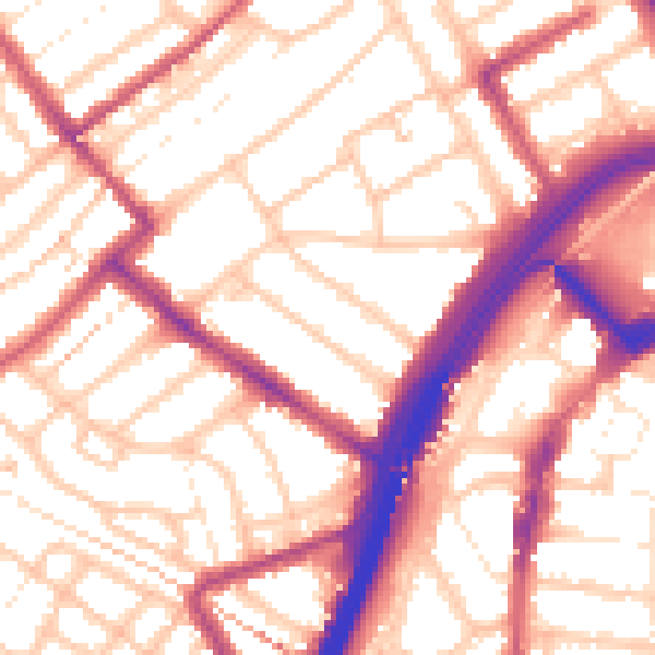
Daytime· 07:00 – 23:00
55.5dB

Night-time· 23:00 – 07:00
45.3dB