1 Forest Drive West, Waltham Forest, London, E11 1JZ
About 1 Forest Drive West
1 Forest Drive West is a one-bedroom property in Waltham Forest, London, London (E11 1JZ). It has council tax band F.
Held since September 2003 — that's 23 years off the open market, well above the local norm. 4 planning records sit against the property, 2 approved, 2 refused. Past consents include an extension, meaningful when judging how the property has evolved. Across 2001–2003, sale prices on this property compounded at 21.7% per year.
Know exactly what you're buying at 1 Forest Drive West
Before you offer, see what the listing won't tell you, the true value, the red flags and the full history.
Already flagged here
Valuation
against the asking price
Risks
planning & flood
Sold prices
similar homes nearby
Trends
the local market
What this property has
Inside
- Bedrooms1
Energy performance
No EPC on record
This property doesn't have an Energy Performance Certificate yet. An EPC is required to sell or let — and unlocks our automated valuation.
Planning history
Council records show a subdivision application — the property's legal arrangement has been altered.
- Feb 2019SubdivisionAmendmentIn report
Lawful Development Certificate (Existing) - Retention of 4 x 1 bedroomself-contained flats.
- Council
- CHINGFORD
Retrospective- Documents
- 8 docs on file
- Reference
- 184297
- Apr 2007FullIn report
Change of use from storage/garage to cafe/takeaway and installation ofnew windows as shown on drawing no. T3 received on the 22nd Devember 2006.
- Council
- **
New Windows- Documents
- 4 docs on file
- Reference
- 061594
We flagged 2 things worth checking at 1 Forest Drive West
Independent checks surfaced things a buyer would want to understand before offering. The report explains each one in full, with the underlying data and what to ask.
- Signs of HMO activity in the area
- Larger development activity nearby
30-day money-back guarantee
Sales history & valuation
£400,000
Growth on file: 21.7% per year over 3 years.
Sales timeline
1 September 2003Most recent
£400,000
+66.7%over 2 years25 January 2001
£240,000
Median price across the last 5 sales in E11 1JZ: £551,000 (2024–2024).
Nearby sales in E11 1JZ
69 Forest Drive West, Waltham Forest, London, E11 1JZ
Sold Nov 2024
£957,00043 Forest Drive West, Waltham Forest, London, E11 1JZ
Sold Nov 2024
£1,250,000Lower Flat, 101 Forest Drive West, London, E11 1JZ
Sold Nov 2024
£551,00019a, Forest Drive West, London, E11 1JZ
Sold Oct 2024
£341,00015d, Forest Drive West, London, E11 1JZ
Sold Aug 2024
£315,000
Everything we know about 1 Forest Drive West, in one report
What it's really worth, what could be wrong, and the planning, sales and area data in full.
What we flagged
- Signs of HMO activity in the area
- Larger development activity nearby

Similar properties nearby
1 Forest Road, Waltham Forest
E11 1JT
1 Connor Close, Waltham Forest
E11 1BP
1 Integer Gardens, Forest Road, Waltham Forest
E11 1LJ
1 Falcon Way, Redbridge
E11 1SX
1 Kingsley Grange, The Rise, Redbridge
E11 1QB
1 Chelmsford Road, Waltham Forest
E11 1BT
1 Chadwick Road, Waltham Forest
E11 1NE
1 Clarendon Road, Waltham Forest
E11 1BZ
The neighbourhood at a glance
Rail-style transport is unusually close for this postcode.
Crime
5/mo
Rising year-on-year across the wider district.
Nearest stop
0.2 km
Bulwer Road (E11) — bus stop.
Closest school
0.5 km
Gwyn Jones Primary School. 60 schools nearby.
Go deeper on the local area
The full report breaks down crime, transport links, schools and air quality in depth.
Road noise across the postcode
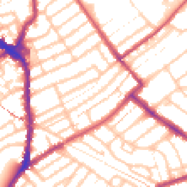
Daytime· 07:00 – 23:00
53.8dB

Night-time· 23:00 – 07:00
43.1dB