10 St Leonards Road, Horfield, Bristol, BS7 8SH
About 10 St Leonards Road
10 St Leonards Road is a two-bedroom mid-terrace house in Horfield, Bristol, Bristol (BS7 8SH). It has a recorded floor area of 98 m² (around 1055 sq ft), construction records dating it to before 1900 and council tax band C. The latest certificate (May 2016) shows a D (score 57), a step below the typical UK home. The rating has held steady at D across 2 certificates since March 2012. Between certificates, roof efficiency went from Average to Good; while window efficiency dropped from Poor to Very Poor. The recommended improvements would lift it to B (score 81), a 2-band jump. The latest certificate is from May 2016, so improvements made since then won't be reflected. Period features are noted in the property record. Our model identifies extension potential, subject to local planning policy.
Across 2000–2012, sale prices on this property compounded at 7.8% per year. Today's modelled estimate of £493,000 sits 86% above the 2012 sale of £265,000. On the market in October 2012 and unlisted since — roughly 14 years.
What this property has
Inside
- Bedrooms2
- Bathrooms1
- Open-plan layoutYes
- Dining roomYes
Building
- Period featuresYes
- RefurbishedYes
- Extension potentialPossible
Everything you need to know about 10 St Leonards Road
The true value, the hidden risks and the full sale history, in one report.
Pick your report · every report is £14.99
One time fee only - money back guarantee

The data behind every report


Energy performance
Recommended upgrades on file would lift this property by multiple EPC bands.
EPC Expired
This certificate is over 10 years old and is no longer valid.Expired 25 May 2026
EPC Rating
Property Improvements
Changes detected from historical EPC data
Roof insulation improved
Get a survey for this property
Level 3 Building Survey
Because the property was built before 1919 and has been extended more than once, we believe a Level 3 building survey should be considered.
From £1,020 · Includes VAT
Planning history
10 St Leonards Road has no planning applications on record.
But the area is active
37 notable applications nearby — larger schemes and conversions that could reshape the street. The report maps them all.
Sales history & valuation
10 St Leonards Road has more than doubled in price since the earliest registered sale in 2000.
£493,000
Modelled from EPC, postcode comparables and a sale-price growth of 7.8% per year over 12 years.
£265,000
Growth on file: 7.8% per year over 12 years.
Sales timeline
1 October 2012Most recent
£265,000
+11.6%over 6 years24 July 2006
£237,500
+126.2%over 6 years31 May 2000
£105,000
Median price across the last 5 sales in BS7 8SH: £500,000 (2025–2022).
Nearby sales in BS7 8SH
17 St Leonards Road, Horfield, Bristol, BS7 8SH
Sold Jul 2025
£500,00011 St Leonards Road, Horfield, Bristol, BS7 8SH
Sold Dec 2024
£568,0004 St Leonards Road, Horfield, Bristol, BS7 8SH
Sold Jun 2023
£545,00011a, St Leonards Road, Horfield, Bristol, BS7 8SH
Sold Jun 2022
£492,0009 St Leonards Road, Horfield, Bristol, BS7 8SH
Sold Jun 2022
£500,000
Versus other St Leonards Road homes
On habitable rooms, 10 St Leonards Road runs well behind the street norm.
Price per m²
£2,704
Street avg £3,884
Floor Area
98 m²
Street avg 99 m²
Habitable Rooms
3 rooms
Street avg 5 rooms
CO₂ Emissions
4.9 t/year
Street avg 4.2 t/year
Everything you need to know about 10 St Leonards Road
The true value, the hidden risks and the full sale history, in one report.
Pick your report · every report is £14.99
One time fee only - money back guarantee
The data behind every report
Similar properties nearby
1 Arundel Road
BS7 8HA
1 Berkeley Avenue, Bishopston
BS7 8HH
1 Beloe Mews
BS7 8AN
1 Beech Road
BS7 8RP
1 Beloe Road
BS7 8RB
1 Ash Road
BS7 8RN
1 3, Gloucester Road, Bishopston
BS7 8AA
1 Arundel Court, Berkeley Road, Bishopston
BS7 8HE
The neighbourhood at a glance
Reported crime in the wider district is trending notably upward year-on-year.
Crime
6/mo
Rising year-on-year across the wider district.
Nearest stop
0.2 km
Church Road — bus stop.
Closest school
0.5 km
Ashley Down Primary School. 41 schools nearby.
Go deeper on the local area
A Local Area report breaks down crime, transport links, schools and air quality in depth.
Road noise across the postcode
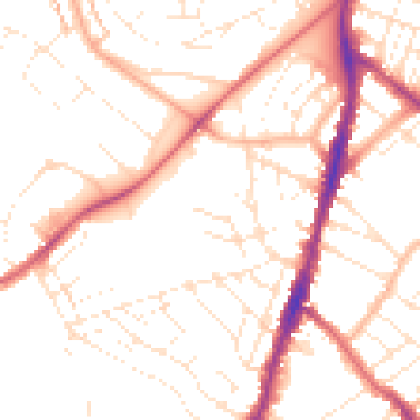
Daytime· 07:00 – 23:00
50.9dB

Night-time· 23:00 – 07:00
40.7dB