4b, Broomhall Avenue, Wakefield, WF1 2BB
About 4b
4b is a detached house in Wakefield (WF1 2BB). It has a recorded floor area of 237 m² (around 2551 sq ft), construction records dating it to 1996-2002 and council tax band F. The latest certificate (December 2025) shows a D (score 61), on the cusp of jumping into the C band. Earlier certificates rated it C (August 2009); the latest reading is one band lower. Between certificates, lighting went from Poor to Very Good; while wall efficiency dropped from Good to Poor and roof efficiency dropped from Good to Average. The recommended improvements would push it to C (score 74).
It hasn't traded since November 1996, a hold of 30 years that's notably long for the area. Only one transfer is on record with HM Land Registry, suggesting it has stayed in the same hands for a long time. At 237 m² the property is well over the postcode median (154 m² across 11 EPCs), placing it in the larger end of the local stock. Today's modelled estimate of £658,000 sits 402.5% above the 1996 sale of £130,950. On a £-per-square-foot basis, the last sale (£51/sq ft) was about 78.1% below the postcode norm. 8 planning records sit against the property, 3 approved, 2 refused. Past consents include tree works, meaningful when judging how the property has evolved.
Everything you need to know about 4b
The true value, the hidden risks and the full sale history, in one report.
Pick your report · from £14.99
One time fee only - money back guarantee

The data behind every report







Energy performance
4b's carbon output runs well above what efficient homes in the postcode produce.
EPC Rating
Certificate validity
Valid until 5 December 2035
Property Improvements
Changes detected from historical EPC data
Heating controls changed
Hot water system changed
Heating controls upgraded for better temperature management
Hot water system upgraded
Windows upgraded, improving insulation
Cavity wall insulation installed
Loft insulation upgraded to recommended levels
Floor insulation added or improved
More low energy lighting installed
More low energy lighting installed

Get a survey for this property
Level 3 Building Survey
Because the property has been extended more than once, we believe a Level 3 building survey should be considered.
From £1,155 · Includes VAT
Planning history
8 applications on record at 4b, Broomhall Avenue, Wakefield, WF1 2BB
- Jul 2001Tree WorksTreesOutcome in report
Felling of 1no lime tree
- Reference
- 01/99/58358/A
- More recent applications — locked
- Tree WorksAug 2024Decision
- Tree WorksNov 2022Decision
+ 5 more applications in the report
Unlock 4b, Broomhall Avenue, Wakefield, WF1 2BB's full planning history
You're seeing the shape of it. The report has the substance.
- Every decision — granted, refused or withdrawn (8 on record)
- All 8 applications on this property in full, plus 2 notable nearby
- The 36 documents, officer reports & conditions
- What the pattern means for extending or converting here
One time fee only - money back guarantee
Sales history & valuation
4b's modelled value sits at over four times its earliest registered sale price (1996).
£658,000
Modelled from EPC, postcode comparables.
£130,950
Recorded with HM Land Registry.
Sales timeline
27 November 1996Most recent
£130,950
Median price across the last 5 sales in WF1 2BB: £480,000 (2025–2021).
Nearby sales in WF1 2BB
Versus other Broomhall Avenue homes
Price per m² for 4b lags the street by a wide margin.
Price per m²
£553
Street avg £2,975
Floor Area
237 m²
Street avg 158 m²
Habitable Rooms
8 rooms
Street avg 7 rooms
CO₂ Emissions
8.0 t/year
Street avg 6.3 t/year
Everything you need to know about 4b
The true value, the hidden risks and the full sale history, in one report.
Pick your report · from £14.99
One time fee only - money back guarantee
The data behind every report
Similar properties nearby
1 Broomhall Avenue
WF1 2BB
1 Cathedral Close
WF1 2DP
1 Broomhall Crescent
WF1 2AY
1 Duke Way
WF1 2ER
1 Belvedere Court
WF1 2JN
1 Bramble Court, Outwood
WF1 2UH
1 Bradford Road
WF1 2RF
1 Chapel Fold, Leeds Road
WF1 2JB
The neighbourhood at a glance
Crime
585/mo
Falling year-on-year across the wider district.
Nearest stop
0.1 km
Bradford Road Bowling Ave — bus stop.
Closest school
0.5 km
Wrenthorpe Academy. 23 schools nearby.
Go deeper on the local area
A Local Area report breaks down crime, transport links, schools and air quality in depth.
Road noise across the postcode
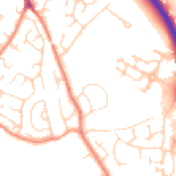
Daytime· 07:00 – 23:00
50.4dB

Night-time· 23:00 – 07:00
39.3dB