14 Alder Walk, Watford, WD25 0RT
About 14 Alder Walk
14 Alder Walk is a two-bedroom mid-terrace house in Watford (WD25 0RT). It has a recorded floor area of 59 m² (around 635 sq ft), construction records dating it to 1983-1990 and council tax band D. The latest certificate (March 2020) shows a C (score 73). The rating has held steady at C across 2 certificates since January 2010. Between certificates, hot-water efficiency dropped from Very Good to Good and main heating dropped from Very Good to Good. The recommended improvements would push it to B (score 90).
It hasn't traded since June 2010, a hold of 16 years that's notably long for the area. Today's modelled estimate of £417,000 sits 77.4% above the 2010 sale of £235,000.
What this property has
Inside
- Bedrooms2
- Bathrooms2
- EnsuiteYes
Outside
- Private gardenRear
- GarageYes
Everything you need to know about 14 Alder Walk
The true value, the hidden risks and the full sale history, in one report.
30-day money-back guarantee

The data behind every report


Energy performance
EPC Rating
Property Improvements
Changes detected from historical EPC data
Heating controls changed
Hot water efficiency decreased
Windows upgraded, improving insulation
Planning history
14 Alder Walk has no planning applications on record.
Notable planning nearby
2applications of note in the surrounding area
Sales history & valuation
14 Alder Walk valuation sits well clear of the typical sold price in this postcode.
£417,000
Modelled from EPC, postcode comparables.
£235,000
Recorded with HM Land Registry.
Sales timeline
29 June 2010Most recent
£235,000
Median price across the last 5 sales in WD25 0RT: £420,000 (2025–2021).
Versus other Alder Walk homes
On price per m², 14 Alder Walk runs well behind the street norm.
Price per m²
£3,983
Street avg £5,507
Floor Area
59 m²
Street avg 68 m²
Habitable Rooms
3 rooms
Street avg 4 rooms
CO₂ Emissions
2.0 t/year
Street avg 2.5 t/year
Everything you need to know about 14 Alder Walk
The true value, the hidden risks and the full sale history, in one report.
30-day money-back guarantee
The data behind every report
Similar properties nearby
1 Cedar Wood Drive
WD25 0RR
1 Alder Walk
WD25 0RT
1 Aspen Park Drive
WD25 0RS
1 Avon Close
WD25 0DN
1 Derwent Close
WD25 0NQ
1 Austin Villas, Woodside Road
WD25 0GD
1 Bramble Close
WD25 0HF
1 All Saints Crescent
WD25 0LU
The neighbourhood at a glance
Crime
4/mo
Steady year-on-year across the wider district.
Nearest stop
0.2 km
Kingswood Road — bus stop.
Closest school
0.6 km
Kingsway Junior School. 27 schools nearby.
Go deeper on the local area
The full report breaks down crime, transport links, schools and air quality in depth.
Road noise across the postcode
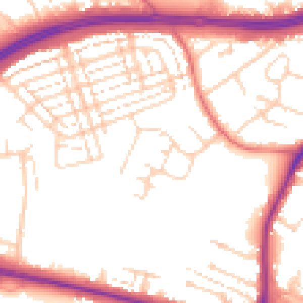
Daytime· 07:00 – 23:00
53.5dB

Night-time· 23:00 – 07:00
44.9dB