47 Briar Road, Watford, WD25 0HW
About 47 Briar Road
47 Briar Road is a semi-detached house in Watford (WD25 0HW). It has a recorded floor area of 133 m² (around 1432 sq ft), construction records dating it to 1930-1949 and council tax band D. The latest certificate (September 2017) shows a D (score 67), on the cusp of jumping into the C band. The recommended improvements would lift it to B (score 81), a 2-band jump.
At 133 m² the property is well over the postcode median (83 m² across 13 EPCs), placing it in the larger end of the local stock. Across 2005–2018, sale prices on this property compounded at 7.5% per year. Today's modelled estimate of £639,000 is 16.2% above the 2018 sale price. On a £-per-square-foot basis, the last sale (£384/sq ft) was about 33.2% above the typical sold price in the postcode. Last sold in January 2018, so it's been off the market for around 8 years. One historical planning record sits against the property in 2014.
Everything you need to know about 47 Briar Road
The true value, the hidden risks and the full sale history, in one report.
30-day money-back guarantee

The data behind every report


Energy performance
Recommended upgrades on file would lift this property by multiple EPC bands.
EPC Rating
Planning history
- Nov 2014PorchFullIn report
Extension: Single storey
Demolish existing garage and erect a single storey rear and side extension incorporating the rebuilding of the garage, with the addition of a single storey front porch.
Extension- Documents
- 15 docs on file
- Reference
- 14/00884/FULH
What's in 47 Briar Road, Watford, WD25 0HW's planning history?
Refusals, disputes and full decisions on this property and nearby, in the report.
Sales history & valuation
Latest sale on 47 Briar Road was the highest on Land Registry record across the postcode.
£639,000
Modelled from EPC, postcode comparables and a sale-price growth of 7.5% per year over 12 years.
£550,000
Growth on file: 7.5% per year over 12 years.
Sales timeline
12 January 2018Most recent
£550,000
+139.1%over 12 years9 December 2005
£230,000
Median price across the last 5 sales in WD25 0HW: £505,000 (2025–2019).
Versus other Briar Road homes
47 Briar Road outperforms the street on floor area by a wide margin.
Price per m²
£4,135
Street avg £3,891
Floor Area
133 m²
Street avg 96 m²
Habitable Rooms
6 rooms
Street avg 5 rooms
CO₂ Emissions
4.8 t/year
Street avg 4.5 t/year
Everything you need to know about 47 Briar Road
The true value, the hidden risks and the full sale history, in one report.
30-day money-back guarantee
The data behind every report
Similar properties nearby
The neighbourhood at a glance
Crime
4/mo
Steady year-on-year across the wider district.
Nearest stop
0.1 km
Kingswood Road — bus stop.
Closest school
0.6 km
Kingsway Junior School. 27 schools nearby.
Go deeper on the local area
The full report breaks down crime, transport links, schools and air quality in depth.
Road noise across the postcode
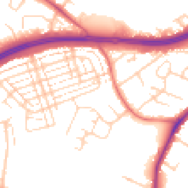
Daytime· 07:00 – 23:00
52.8dB

Night-time· 23:00 – 07:00
44.4dB