29 Severn Way, Watford, WD25 0DJ
About 29 Severn Way
29 Severn Way is a three-bedroom end-of-terrace house in Watford (WD25 0DJ). It has a recorded floor area of 112 m² (around 1206 sq ft), construction records dating it to 1950-1966 and council tax band D. The latest certificate (March 2021) shows a D (score 67), on the cusp of jumping into the C band. The recommended improvements would lift it to B (score 85), a 2-band jump. Other recorded features include outbuildings.
At 112 m² the property is well over the postcode median (79 m² across 7 EPCs), placing it in the larger end of the local stock. Across 1996–2022, sale prices on this property compounded at 7.6% per year. On a £-per-square-foot basis, the last sale (£427/sq ft) was about 37.9% above the typical sold price in the postcode. Sold December 2022 for £515,000. That sale was during the post-pandemic price surge, when transactions cleared materially above pre-2020 trend.
What this property has
Inside
- Bedrooms3
- Bathrooms1
- Open-plan layoutYes
- Dining roomYes
- CloakroomYes
- StudyYes
Outside
- GarageYes
- OutbuildingsYes
Building
- RefurbishedYes
Everything you need to know about 29 Severn Way
The true value, the hidden risks and the full sale history, in one report.
30-day money-back guarantee

The data behind every report


Energy performance
Recommended upgrades on file would lift this property by multiple EPC bands.
EPC Rating
Planning history
29 Severn Way has no planning applications on record.
Notable planning nearby
2applications of note in the surrounding area
Sales history & valuation
Price for 29 Severn Way has grown more than fourfold since the 1996 starting point.
£548,000
Modelled from EPC, postcode comparables and a sale-price growth of 7.6% per year over 27 years.
£515,000
Growth on file: 7.6% per year over 27 years.
Sales timeline
7 December 2022Most recent
£515,000
+66.1%over 14 years17 July 2008
£310,000
+321.8%over 12 years2 May 1996
£73,500
Median price across the last 5 sales in WD25 0DJ: £287,000 (2025–2019).
Versus other Severn Way homes
Floor Area for 29 Severn Way runs comfortably ahead of the street norm.
Price per m²
£4,598
Street avg £4,675
Floor Area
112 m²
Street avg 85 m²
Habitable Rooms
5 rooms
Street avg 4 rooms
CO₂ Emissions
4.3 t/year
Street avg 3.7 t/year
Everything you need to know about 29 Severn Way
The true value, the hidden risks and the full sale history, in one report.
30-day money-back guarantee
The data behind every report
Similar properties nearby
1 Bramble Close
WD25 0HF
1 Austin Villas, Woodside Road
WD25 0GD
1 Derwent Close
WD25 0NQ
1 All Saints Crescent
WD25 0LU
1 Coopers Mews
WD25 0JD
1 Avon Close
WD25 0DN
1 Aspen Park Drive
WD25 0RS
1 Cypress Walk
WD25 0RY
The neighbourhood at a glance
Rail-style transport is unusually close for this postcode.
Crime
4/mo
Steady year-on-year across the wider district.
Nearest stop
0.1 km
St Albans Road — bus stop.
Closest school
0.7 km
The Grove Academy. 24 schools nearby.
Go deeper on the local area
The full report breaks down crime, transport links, schools and air quality in depth.
Road noise across the postcode
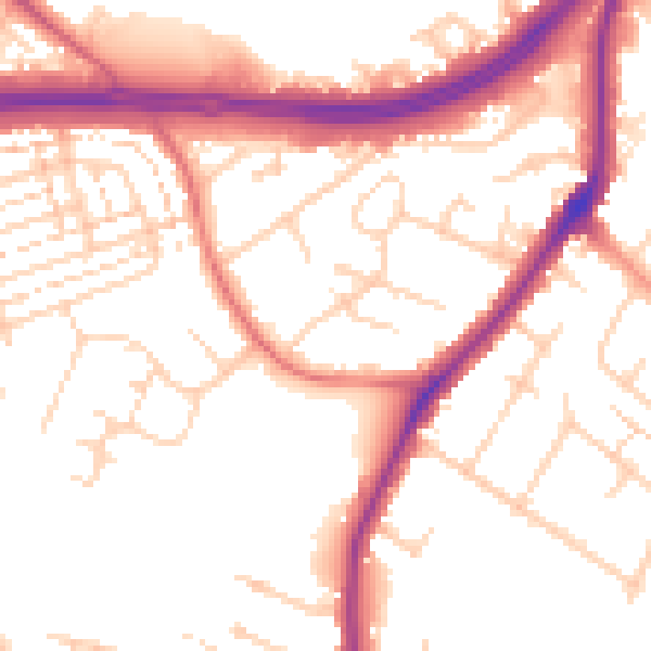
Daytime· 07:00 – 23:00
53.3dB

Night-time· 23:00 – 07:00
45.1dB