45 Brushrise, Watford, WD24 6SZ
About 45 Brushrise
45 Brushrise is a two-bedroom mid-terrace house in Watford (WD24 6SZ). It has a recorded floor area of 61 m² (around 657 sq ft), construction records dating it to 1967-1975 and council tax band B. At 61 m² this is the 18th smallest of 26 units on EPC record in the building, where floor areas span 46–100 m². The building's EPC ratings span F to B across 26 units on file. Other recorded features include a balcony. The latest certificate (June 2022) shows a C (score 69), just inside the C band.
Today's modelled estimate of £260,000 is 23.2% above the 2022 sale price. On a £-per-square-foot basis, the last sale (£321/sq ft) was about 22.2% above the typical sold price in the postcode. Most recent transfer: December 2022 at £211,000. That sale was during the post-pandemic price surge, when transactions cleared materially above pre-2020 trend.
What this property has
Inside
- Bedrooms2
- Bathrooms1
- Dining roomYes
Outside
- Communal gardenYes
- ParkingOff street
- BalconyYes
Building
- Central heatingYes
Everything you need to know about 45 Brushrise
The true value, the hidden risks and the full sale history, in one report.
30-day money-back guarantee

The data behind every report


Energy performance
EPC Rating
Planning history
45 Brushrise has no planning applications on record.
Notable planning nearby
4applications of note in the surrounding area
We flagged 1 thing worth checking at 45 Brushrise
Independent checks surfaced things a buyer would want to understand before offering. The report explains each one in full, with the underlying data and what to ask.
- Signs of HMO activity in the area
30-day money-back guarantee
Sales history & valuation
The latest sale landed in the post-pandemic price surge — useful context when reading the figure.
£260,000
Modelled from EPC, postcode comparables.
£211,000
Recorded with HM Land Registry.
Sales timeline
2 December 2022Most recent
£211,000
Median price across the last 5 sales in WD24 6SZ: £277,500 (2021–2019).
Versus other Brushrise homes
Years Held for 45 Brushrise lags the street by a wide margin.
Price per m²
£3,459
Street avg £3,873
Floor Area
61 m²
Street avg 55 m²
Habitable Rooms
3 rooms
Street avg 3 rooms
CO₂ Emissions
2.5 t/year
Street avg 2.1 t/year
Everything you need to know about 45 Brushrise
The true value, the hidden risks and the full sale history, in one report.
30-day money-back guarantee
The data behind every report
Similar properties nearby
The neighbourhood at a glance
Reported crime in the wider district is trending notably upward year-on-year.
Crime
4/mo
Rising year-on-year across the wider district.
Nearest stop
0.3 km
Brett Place — bus stop.
Closest school
0.1 km
Cherry Tree Primary School. 32 schools nearby.
Go deeper on the local area
The full report breaks down crime, transport links, schools and air quality in depth.
Road noise across the postcode
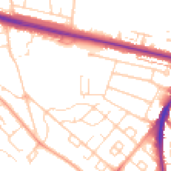
Daytime· 07:00 – 23:00
51.4dB

Night-time· 23:00 – 07:00
41.5dB