98b, Berry Avenue, Watford, WD24 6RY
About 98b
98b is a two-bedroom semi-detached house in Watford (WD24 6RY). It has a recorded floor area of 55 m² (around 592 sq ft), construction records dating it to 1930-1949 and council tax band C. Tenure is freehold. The latest certificate (May 2022) shows a D (score 67), on the cusp of jumping into the C band. The rating has held steady at D across 2 certificates since May 2012. The recommended improvements would push it to C (score 74).
Across 1996–2023, sale prices on this property compounded at 6.1% per year. Today's modelled estimate of £298,000 is 22.1% above the 2023 sale price. On a £-per-square-foot basis, the last sale (£412/sq ft) was about 60.7% above the typical sold price in the postcode. At 55 m² it's 24.3% smaller than the typical home in the postcode (73 m² median across 36 EPCs). Last sale on file: £244,000 in July 2023.
What this property has
Inside
- Bedrooms2
- Bathrooms1
Outside
- Private gardenYes
- DrivewayYes
Building
- TenureFreehold
- RefurbishedYes
Everything you need to know about 98b
The true value, the hidden risks and the full sale history, in one report.
30-day money-back guarantee

The data behind every report


Energy performance
EPC Rating
Planning history
98b has no planning applications on record.
Notable planning nearby
4applications of note in the surrounding area
We flagged 1 thing worth checking at 98b
Independent checks surfaced things a buyer would want to understand before offering. The report explains each one in full, with the underlying data and what to ask.
- Signs of HMO activity in the area
30-day money-back guarantee
Sales history & valuation
Price for 98b has grown more than fourfold since the 1996 starting point.
£298,000
Modelled from EPC, postcode comparables and a sale-price growth of 6.1% per year over 27 years.
£244,000
Growth on file: 6.1% per year over 27 years.
Sales timeline
6 July 2023Most recent
£244,000
+16.2%over 4 years10 June 2019
£210,000
+328.6%over 23 years29 March 1996
£49,000
Median price across the last 5 sales in WD24 6RY: £472,000 (2024–2022).
Versus other Berry Avenue homes
98b is notably below the street on years held.
Price per m²
£4,436
Street avg £3,610
Floor Area
55 m²
Street avg 44 m²
Habitable Rooms
3 rooms
Street avg 2 rooms
CO₂ Emissions
2.4 t/year
Street avg 2.2 t/year
Everything you need to know about 98b
The true value, the hidden risks and the full sale history, in one report.
30-day money-back guarantee
The data behind every report
Similar properties nearby
The neighbourhood at a glance
Rail-style transport is unusually close for this postcode.
Crime
4/mo
Rising year-on-year across the wider district.
Nearest stop
0.3 km
Library — bus stop.
Closest school
0.3 km
Cherry Tree Primary School. 29 schools nearby.
Go deeper on the local area
The full report breaks down crime, transport links, schools and air quality in depth.
Road noise across the postcode
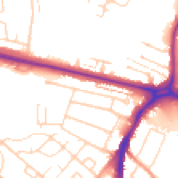
Daytime· 07:00 – 23:00
51.9dB

Night-time· 23:00 – 07:00
42.9dB