113a, St Albans Road, Watford, WD17 1RD
About 113a
113a is a semi-detached house in Watford (WD17 1RD). It has a recorded floor area of 52 m² (around 560 sq ft), construction records dating it to before 1900 and council tax band C. The latest certificate (April 2024) shows a C (score 71). When first surveyed in August 2011 the rating was E, the property has climbed 2 bands since. Between certificates, wall efficiency went from Very Poor to Good, window efficiency went from Poor to Good and lighting went from Good to Very Good; while hot-water efficiency dropped from Good to Poor and main heating dropped from Good to Very Poor. Main heating runs on electricity. At 52 m² this is the 17th smallest of 42 units on EPC record in the building, where floor areas span 36–122 m². The building's EPC ratings span E to B across 42 units on file.
Today's modelled estimate of £254,000 is 63.7% below the 2023 sale of £700,000, running counter to the wider postcode trend, which makes the EPC and condition history especially worth a look. On a £-per-square-foot basis, the last sale (£1,251/sq ft) was about 252.8% above the typical sold price in the postcode. Sold May 2023 for £700,000.
Everything you need to know about 113a
The true value, the hidden risks and the full sale history, in one report.
30-day money-back guarantee

The data behind every report


Energy performance
EPC Rating
Property Improvements
Changes detected from historical EPC data
Heating controls upgraded for better temperature management
Windows upgraded, improving insulation
More low energy lighting installed
Window efficiency improved
Wall insulation improved
Loft insulation upgraded to recommended levels
Heating system changed
Changed to a more efficient fuel source
Heating controls changed
Hot water system changed
Cavity wall insulation installed
Planning history
113a has no planning applications on record.
Notable planning nearby
7applications of note in the surrounding area
We flagged 2 things worth checking at 113a
Independent checks surfaced things a buyer would want to understand before offering. The report explains each one in full, with the underlying data and what to ask.
- Signs of HMO activity in the area
- Larger development activity nearby
30-day money-back guarantee
Sales history & valuation
£254,000
Modelled from EPC, postcode comparables.
£700,000
Recorded with HM Land Registry.
Sales timeline
11 May 2023Most recent
£700,000
Median price across the last 5 sales in WD17 1RD: £350,000 (2024–2020).
Nearby sales in WD17 1RD
121a, St Albans Road, Watford, WD17 1RD
Sold Mar 2024
£350,000109c, St Albans Road, Watford, WD17 1RD
Sold Nov 2023
£290,000109a, St Albans Road, Watford, WD17 1RD
Sold Nov 2023
£320,000101 St Albans Road, Watford, WD17 1RD
Sold Feb 2020
£365,000Flat, 107 St Albans Road, Watford, WD17 1RD
Sold Dec 2016
£330,000
Versus other St Albans Road homes
113a outperforms the street on price per m² by a wide margin.
Price per m²
£13,462
Street avg £5,154
Floor Area
52 m²
Street avg 61 m²
Habitable Rooms
3 rooms
Street avg 3 rooms
CO₂ Emissions
2.4 t/year
Street avg 2.9 t/year
Everything you need to know about 113a
The true value, the hidden risks and the full sale history, in one report.
30-day money-back guarantee
The data behind every report
Similar properties nearby
The neighbourhood at a glance
Rail-style transport is unusually close for this postcode.
Crime
10/mo
Steady year-on-year across the wider district.
Nearest stop
0.2 km
West Street — bus stop.
Closest school
0.7 km
Lanchester Primary School. 36 schools nearby.
Go deeper on the local area
The full report breaks down crime, transport links, schools and air quality in depth.
Road noise across the postcode
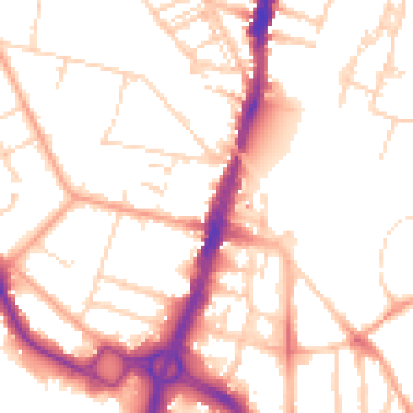
Daytime· 07:00 – 23:00
52.5dB

Night-time· 23:00 – 07:00
42.6dB