Flat, 107 St Albans Road, Watford, WD17 1RD
About Flat
Flat is a mid-terrace house in Watford (WD17 1RD). It has a recorded floor area of 103 m² (around 1109 sq ft), construction records dating it to before 1900 and council tax band C. The latest certificate (February 2023) shows a C (score 72). When first surveyed in October 2012 the rating was E, the property has climbed 2 bands since. Between certificates, wall efficiency went from Very Poor to Poor, roof efficiency went from Very Poor to Average and window efficiency went from Average to Good. At 103 m² this is the 40th smallest of 42 units on EPC record in the building, where floor areas span 36–122 m². The building's EPC ratings span E to B across 42 units on file.
4 planning records sit against the property, 1 approved, 2 refused, 1 pending. Past consents include HMO conversion and change of use to residential, meaningful when judging how the property has evolved. An active application for new windows is awaiting a decision. At 103 m² the property is well over the postcode median (54 m² across 41 EPCs), placing it in the larger end of the local stock. On a £-per-square-foot basis, the last sale (£298/sq ft) was about 23.8% below the postcode norm. Last changed hands 9 years ago, in December 2016.
Everything you need to know about Flat
The true value, the hidden risks and the full sale history, in one report.
30-day money-back guarantee

The data behind every report


Energy performance
EPC Rating
Property Improvements
Changes detected from historical EPC data
Hot water efficiency improved
Window efficiency improved
Wall insulation improved
Roof insulation improved
More low energy lighting installed
Planning history
Planning history includes both a loft conversion and an extension — the classic family-home expansion.
- Mar 2022HMOAmendmentIn report
Lawful Development Certificate for change of use from C3 - dwellinghouse to C4 - House in Multiple Occupation (4no. bedrooms / 4no. occupants).
Change of Use- Documents
- 12 docs on file
- Reference
- 22/00180/LDC
- Jun 2021RenovationFullIn report
The application proposes the replacement of the existing windows
New Windows- Documents
- 6 docs on file
- Reference
- 21/00902/FUL
We flagged 2 things worth checking at Flat
Independent checks surfaced things a buyer would want to understand before offering. The report explains each one in full, with the underlying data and what to ask.
- Signs of HMO activity in the area
- Larger development activity nearby
30-day money-back guarantee
Sales history & valuation
£356,000
Modelled from EPC, postcode comparables.
£330,000
Recorded with HM Land Registry.
Sales timeline
15 December 2016Most recent
£330,000
Median price across the last 5 sales in WD17 1RD: £350,000 (2024–2022).
Nearby sales in WD17 1RD
Versus other St Albans Road homes
On habitable rooms, Flat stands well clear of the street.
Price per m²
£3,204
Street avg £6,620
Floor Area
103 m²
Street avg 60 m²
Habitable Rooms
5 rooms
Street avg 3 rooms
CO₂ Emissions
3.2 t/year
Street avg 2.8 t/year
Everything you need to know about Flat
The true value, the hidden risks and the full sale history, in one report.
30-day money-back guarantee
The data behind every report
Similar properties nearby
103 105, Flat 3, St Albans Road
WD17 1RD
103 105, Flat 1, St Albans Road
WD17 1RD
112a, Flat 2, The Parade, High Street
WD17 1AU
112a, Flat 7, The Parade, High Street
WD17 1AU
103 105, Flat 2, St Albans Road
WD17 1RD
112a, Flat 11, The Parade, High Street
WD17 1AU
112a, Flat 3, The Parade, High Street
WD17 1AU
112a, Flat 6, The Parade, High Street
WD17 1AU
The neighbourhood at a glance
Rail-style transport is unusually close for this postcode.
Crime
10/mo
Steady year-on-year across the wider district.
Nearest stop
0.2 km
West Street — bus stop.
Closest school
0.7 km
Lanchester Primary School. 36 schools nearby.
Go deeper on the local area
The full report breaks down crime, transport links, schools and air quality in depth.
Road noise across the postcode
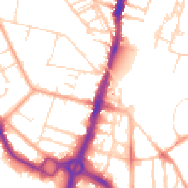
Daytime· 07:00 – 23:00
52.5dB

Night-time· 23:00 – 07:00
42.6dB