4a, Woodford Road, Watford, WD17 1PA
About 4a
4a is a semi-detached house in Watford (WD17 1PA). It has a recorded floor area of 68 m² (around 732 sq ft), construction records dating it to 1900-1929 and council tax band C. The latest certificate (January 2015) shows a D (score 61), on the cusp of jumping into the C band. The recommended improvements would push it to C (score 77). The latest certificate is from January 2015, so improvements made since then won't be reflected.
Held since January 1996 — that's 30 years off the open market, well above the local norm. Only one transfer is on record with HM Land Registry, suggesting it has stayed in the same hands for a long time. Today's modelled estimate of £288,000 sits 351.8% above the 1996 sale of £63,750. On a £-per-square-foot basis, the last sale (£87/sq ft) was about 53.6% below the postcode norm.
Everything you need to know about 4a
The true value, the hidden risks and the full sale history, in one report.
30-day money-back guarantee

The data behind every report


Energy performance
4a's EPC is over a decade old — improvements since won't be reflected.
EPC Expired
This certificate is over 10 years old and is no longer valid.Expired 14 Jan 2025
EPC Rating
Planning history
4a has no planning applications on record.
Notable planning nearby
7applications of note in the surrounding area
We flagged 2 things worth checking at 4a
Independent checks surfaced things a buyer would want to understand before offering. The report explains each one in full, with the underlying data and what to ask.
- Signs of HMO activity in the area
- Larger development activity nearby
30-day money-back guarantee
Sales history & valuation
4a's modelled value sits at over four times its earliest registered sale price (1996).
£288,000
Modelled from EPC, postcode comparables.
£63,750
Recorded with HM Land Registry.
Sales timeline
31 January 1996Most recent
£63,750
Median price across the last 5 sales in WD17 1PA: £260,000 (2025–2018).
Nearby sales in WD17 1PA
Versus other Woodford Road homes
4a is notably below the street on price per m².
Price per m²
£938
Street avg £3,246
Floor Area
68 m²
Street avg 51 m²
Habitable Rooms
3 rooms
Street avg 3 rooms
CO₂ Emissions
3.6 t/year
Street avg 2.7 t/year
Everything you need to know about 4a
The true value, the hidden risks and the full sale history, in one report.
30-day money-back guarantee
The data behind every report
Similar properties nearby
109c, St Albans Road
WD17 1RD
10 Wellington Road
WD17 1QU
103 105, Flat 1, St Albans Road
WD17 1RD
10 Elm Court, Albert Road South
WD17 1QQ
103 105, Flat 2, St Albans Road
WD17 1RD
109a, St Albans Road
WD17 1RD
1 Terrace Gardens
WD17 1RB
10 St Johns Road
WD17 1PT
The neighbourhood at a glance
Rail-style transport is unusually close for this postcode.
Crime
10/mo
Steady year-on-year across the wider district.
Nearest stop
0.2 km
Watford Junction Rail Station — railway station.
Closest school
0.4 km
Watford St John's Church of England Primary School. 35 schools nearby.
Go deeper on the local area
The full report breaks down crime, transport links, schools and air quality in depth.
Road noise across the postcode
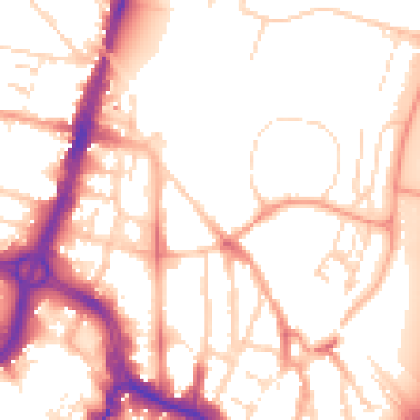
Daytime· 07:00 – 23:00
53.6dB

Night-time· 23:00 – 07:00
44.1dB