25 Churchfields, Croft, Warrington, WA3 7JR
About 25 Churchfields
25 Churchfields is a three-bedroom detached house in Croft, Warrington, Warrington (WA3 7JR). It has a recorded floor area of 116 m² (around 1249 sq ft), construction records dating it to 1967-1975 and council tax band E. The latest certificate (October 2018) shows a D (score 66), on the cusp of jumping into the C band. The recommended improvements would push it to C (score 78). Other recorded features include outbuildings.
Today's modelled estimate of £522,000 is 49.1% above the 2019 sale price. On a £-per-square-foot basis, the last sale (£280/sq ft) was about 35.9% above the typical sold price in the postcode. Sold June 2019 for £350,000. One historical planning record sits against the property in 2002.
What this property has
Inside
- Bedrooms3
- Bathrooms2
- Open-plan layoutYes
- Dining roomYes
- CloakroomYes
- EnsuiteYes
Outside
- Private gardenFront and rear
- GarageSingle
- OutbuildingsYes
Everything you need to know about 25 Churchfields
The true value, the hidden risks and the full sale history, in one report.
Pick your report · every report is £14.99
One time fee only - money back guarantee

The data behind every report


Energy performance
EPC Rating
Get a survey for this property
Level 3 Building Survey
Because the property has been extended more than once and has permanent outbuildings, we believe a Level 3 building survey should be considered.
From £1,085 · Includes VAT
Planning history
1 application on record at 25 Churchfields, Croft, Warrington, WA3 7JR
- Jun 2002ExtensionFullOutcome in report
Extension: Single storey · Rear of property
PROPOSED ERECTION OF A SINGLE STOREY EXTENSION TO THE REAR
- Reference
- A02/45026
Unlock 25 Churchfields, Croft, Warrington, WA3 7JR's full planning history
You're seeing the shape of it. The report has the substance.
- Every decision — granted, refused or withdrawn
- All 1 application on this property in full
- What the pattern means for extending or converting here
One time fee only - money back guarantee
Sales history & valuation
25 Churchfields valuation sits well clear of the typical sold price in this postcode.
£522,000
Modelled from EPC, postcode comparables.
£350,000
Recorded with HM Land Registry.
Sales timeline
27 June 2019Most recent
£350,000
Median price across the last 5 sales in WA3 7JR: £380,000 (2024–2018).
Nearby sales in WA3 7JR
21 Churchfields, Croft, Warrington, WA3 7JR
Sold Sept 2024
£512,50033 Churchfields, Croft, Warrington, WA3 7JR
Sold Sept 2024
£508,68012 Churchfields, Croft, Warrington, WA3 7JR
Sold Aug 2019
£380,0007 Churchfields, Croft, Warrington, WA3 7JR
Sold Jun 2018
£350,00011 Churchfields, Croft, Warrington, WA3 7JR
Sold Nov 2017
£335,000
Versus other Churchfields homes
On floor area, 25 Churchfields runs well behind the street norm.
Price per m²
£3,017
Street avg £2,495
Floor Area
116 m²
Street avg 136 m²
Habitable Rooms
5 rooms
Street avg 7 rooms
CO₂ Emissions
4.6 t/year
Street avg 5.5 t/year
Everything you need to know about 25 Churchfields
The true value, the hidden risks and the full sale history, in one report.
Pick your report · every report is £14.99
One time fee only - money back guarantee
The data behind every report
Similar properties nearby
1 Holmes Court, Birchwood
WA3 7NH
1 Dunscar Close, Birchwood
WA3 7LS
1 Gosling Road, Croft
WA3 7LN
1 Eaves Brow Road, Croft
WA3 7LE
1 Deacons Close, Croft
WA3 7EN
1 Gerrard Road, Croft
WA3 7HW
1 Chadwick Avenue, Croft
WA3 7JT
1 Fern Close, Birchwood
WA3 7NU
The neighbourhood at a glance
Crime
1/mo
Steady year-on-year across the wider district.
Nearest stop
0.1 km
Lady Lane — bus stop.
Closest school
0.7 km
Croft Primary School. 11 schools nearby.
Go deeper on the local area
A Local Area report breaks down crime, transport links, schools and air quality in depth.
Road noise across the postcode
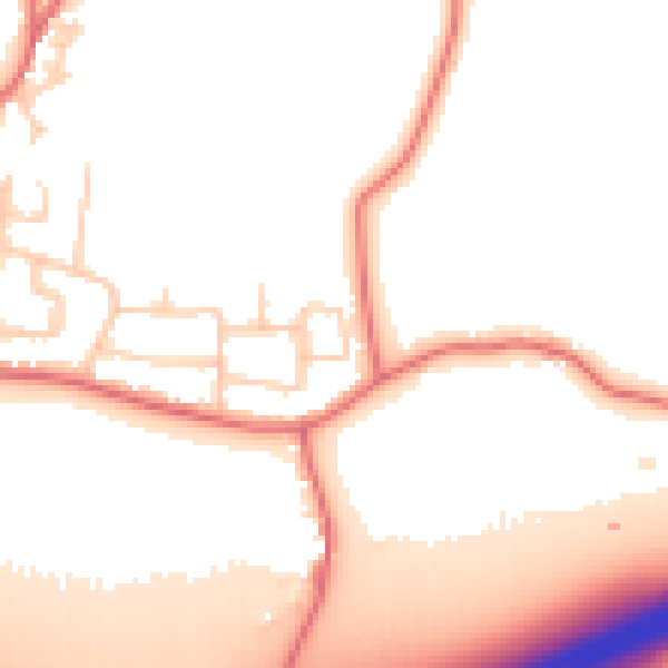
Daytime· 07:00 – 23:00
53.0dB

Night-time· 23:00 – 07:00
45.2dB