23 Churchfields, Croft, Warrington, WA3 7JR
About 23 Churchfields
23 Churchfields is a detached house in Croft, Warrington, Warrington (WA3 7JR). It has a recorded floor area of 106 m² (around 1138 sq ft), construction records dating it to 1950-1966 and council tax band E. The latest certificate (February 2012) shows an F (score 35), near the bottom of the EPC scale. The recommended improvements would push it to E (score 52). The latest certificate is from February 2012, so improvements made since then won't be reflected.
At 106 m² it's 21.1% smaller than the typical home in the postcode (134 m² median across 12 EPCs). On energy efficiency it sits in the bottom 10% of properties in this postcode — significant headroom for improvement. Today's modelled estimate of £378,000 sits 89.9% above the 2012 sale of £199,000. On a £-per-square-foot basis, the last sale (£175/sq ft) was about 18.8% below the postcode norm. 14 years since the last transfer (May 2012).
Everything you need to know about 23 Churchfields
The true value, the hidden risks and the full sale history, in one report.
Pick your report · every report is £14.99
One time fee only - money back guarantee

The data behind every report


Energy performance
23 Churchfields sits at the bottom of the postcode for energy efficiency — meaningful headroom to improve.
EPC Expired
This certificate is over 10 years old and is no longer valid.Expired 08 Feb 2022
EPC Rating
Get a survey for this property
Level 2 HomeBuyer Report
We've checked 10 risk factors against the available data for this property and believe a Level 2 HomeBuyer Report could be a suitable option for you.
From £595 · Includes VAT
Planning history
23 Churchfields has no planning applications on record.
A planning report still maps activity across the surrounding area and reads this property's extension & conversion potential.
Sales history & valuation
£378,000
Modelled from EPC, postcode comparables.
£199,000
Recorded with HM Land Registry.
Sales timeline
17 May 2012Most recent
£199,000
Median price across the last 5 sales in WA3 7JR: £380,000 (2024–2019).
Nearby sales in WA3 7JR
21 Churchfields, Croft, Warrington, WA3 7JR
Sold Sept 2024
£512,50033 Churchfields, Croft, Warrington, WA3 7JR
Sold Sept 2024
£508,68012 Churchfields, Croft, Warrington, WA3 7JR
Sold Aug 2019
£380,00025 Churchfields, Croft, Warrington, WA3 7JR
Sold Jun 2019
£350,0007 Churchfields, Croft, Warrington, WA3 7JR
Sold Jun 2018
£350,000
Versus other Churchfields homes
On epc rating, 23 Churchfields runs well behind the street norm.
Price per m²
£1,883
Street avg £2,589
Floor Area
106 m²
Street avg 137 m²
Habitable Rooms
4 rooms
Street avg 7 rooms
CO₂ Emissions
9.4 t/year
Street avg 5.1 t/year
Everything you need to know about 23 Churchfields
The true value, the hidden risks and the full sale history, in one report.
Pick your report · every report is £14.99
One time fee only - money back guarantee
The data behind every report
Similar properties nearby
1 Dam Lane, Croft
WA3 7HE
1 Gosling Road, Croft
WA3 7LN
1 Dunscar Close, Birchwood
WA3 7LS
1 Aspull Close, Birchwood
WA3 7NE
1 Eaves Brow Road, Croft
WA3 7LE
1 Deacons Close, Croft
WA3 7EN
1 Eccleston Close, Birchwood
WA3 7NL
1 Arkenshaw Road, Croft
WA3 7HN
The neighbourhood at a glance
Crime
1/mo
Steady year-on-year across the wider district.
Nearest stop
0.1 km
Lady Lane — bus stop.
Closest school
0.7 km
Croft Primary School. 11 schools nearby.
Go deeper on the local area
A Local Area report breaks down crime, transport links, schools and air quality in depth.
Road noise across the postcode
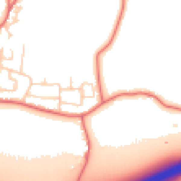
Daytime· 07:00 – 23:00
53.0dB

Night-time· 23:00 – 07:00
45.2dB